Shafer Butte
Campground
Campground · 0.8 mi from the trail
Closure in the area
There's a closure order in Boise National Forest. It doesn't name Shafer Butte, so check the source for the area it covers.
UPDATED Sept. 19 - Crooked Fire Area, Road, and Trail Closure
Agency closure covering Boise National Forest · Order 0402-03-140 · USFS · Boise National Forest
Lava Fire Road Closure
Agency alert covering Boise National Forest · Order 0402-06-84 · USFS · Boise National Forest
As of · Source: USFS · Boise National Forest. Agencies don't list every closure — check before you go.
Shafer Butte is a summit in Idaho's Boise National Forest, within the Mountain Home Ranger District. The nearest town is Robie Creek, about 8 miles away. Several routes start almost at the summit's doorstep. National Forest Development Road 374 and the #95 Tempest mountain bike trail are both about 0.1 mile away, as is the Packing hike. Climbers will find Bogus Boulders about a mile off and Mores Mountain about 2 miles away.
Shafer Butte
Campground
Pioneer Lodge
Restaurant
 If it rainsCamEQ, Facade of Art Museum designed by Trout Architects and Mark Mack in 1988, Public domain · Wikimedia Commons
Places © OpenStreetMap contributors · Photos: CamEQ, Facade of Art Museum designed by Trout Architects and Mark Mack in 1988, Public domain (commons)
More in Idaho CityDaily highs and lows, wind and the chance of precipitation at the summit and route start for the next 7 days, from the Open-Meteo model.
Elevation from USGS 3D Elevation Program terrain data (about 10 m resolution).
| Packing | Cabin Traverse | |
|---|---|---|
| Climbing | About 815 ft | About 417 ft |
| Round trip | 1.5 mi | 1.5 mi |
| Difficulty | Easy | Easy |
| Terrain | Hike | Hike |
| Season | May 1 – October 31 | May 1 – October 31 |
7,582 ft (2,311 m).
2: Packing and Cabin Traverse.
Packing, about 1.5 mi round trip.
May 1 – October 31.

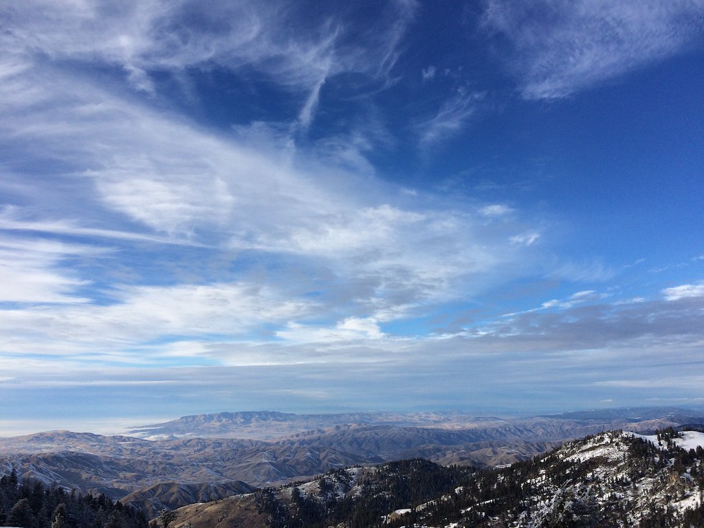 PackingHikingPhoto: FunGi_ (Trading), CC BY-SA 2.0 (via Flickr)0.1 mi
Source: Roamze catalog (indexable pages within 10 miles, PostGIS distance)
Table RockSummit · ~21 min drivePhoto: Tamanoeconomico, CC BY-SA 4.0 (via Wikimedia Commons) Trinity MountainSummit · ~1h drivePhoto: U.S. Forest Service, Public domain (via Wikimedia Commons)

