Bernard
- 38.6 mi
- round trip
- 6,282 ft
- climb
- 9,480 ft
- high point
- Out and back
- route
Is Bernard open right now?
Alert in the area
The Forest Service lists an alert for Salmon-Challis National Forest.
Stoddard Bridge Construction Closure
Agency alert covering Salmon-Challis National Forest · Order 0413-07-17 · USFS · Salmon-Challis National Forest
As of · Source: USFS · Salmon-Challis National Forest. Agencies don't list every closure — check before you go.
Bernard is a hard hike in Idaho's Frank Church-River of No Return Wilderness, on the Middle Fork Ranger District of the Salmon-Challis National Forest. The route is an out-and-back of about 38.6 miles, with a total elevation gain of 6,282 feet, taking you from a low point of about 3,639 feet to a high of about 9,480 feet. The Forest Service manages the land, and the trail is natural-surfaced and open year-round. Horses are allowed, but bikes are not. That makes Bernard a ride for pack animals rather than a trail for mountain bikes. The climb is long and steep, and the high point sits well above the low. The route is a single line through the wilderness, and the surrounding area is a network of shorter hikes. Brush Creek and Brush Cr-Sheep Cr both lie within a quarter mile, Warm Springs is about 0.7 miles away, and Bear Creek Pt. is about 1.2 miles off.
- Brush CreekHiking0.1 mi
- Brush Cr-Sheep CrHiking0.2 mi
- Warm SpringsHiking0.7 mi
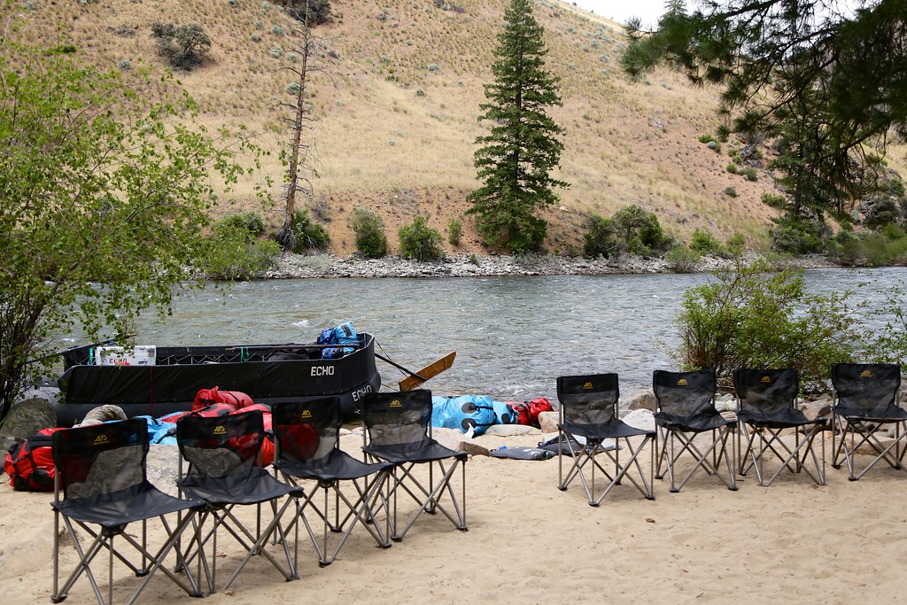 Bear Creek Pt.HikingPhoto: Northwest Rafting Company, CC BY 2.0 (via Flickr)1.2 mi
- Sheep CreekHiking1.8 mi
- Little Bear Cr.Hiking3.5 mi
- Short Creek Lookout SpurHiking4.2 mi
- Yellowjacket CreekCanoeing9.7 mi
Source: Roamze catalog (indexable pages within 10 miles, PostGIS distance)
 BEAGLE CREEKHiking · ~22 min drivePhoto: Bplewe, CC BY-SA 4.0 (via Wikimedia Commons)
- Upper Yellowjacket Cr.Hiking · ~22 min drivePhoto: Bplewe, CC BY-SA 4.0 (via Wikimedia Commons)
- Brush Cr-Sheep CrHiking · Next door
- Soldier BarHiking · ~19 min drive
- PARADISE CR. CUTOFFHiking · ~8 min drive
- Bear Creek Pt.Hiking · ~2 min drivePhoto: Northwest Rafting Company, CC BY 2.0 (via Flickr)
- Short Creek Lookout SpurHiking · ~7 min drive
- Upper Yellowjacket Cr.Hiking · ~22 min drive
- Middle Fork TrailHiking · ~19 min drive
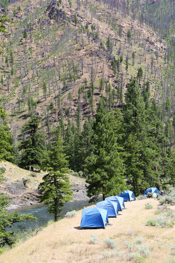 White CreekHiking · ~22 min drivePhoto: Northwest Rafting Company, CC BY 2.0 (via Flickr)
