Boundary
Campground
Campground · 5.1 mi from the trail
Alert in the area
The Forest Service lists 4 alerts for Sawtooth National Forest.
Paradise Prescribed Burn Restricted Access
Agency alert covering Sawtooth National Forest · USFS · Sawtooth National Forest
Grandjean Area, Road, and Trail Closure
Agency alert covering Sawtooth National Forest · Order 0414-04-165 · USFS · Sawtooth National Forest
Over-Snow Vehicle and Bicycle Prohibitions
Agency alert covering Sawtooth National Forest · Order 0414-00-028 · USFS · Sawtooth National Forest
Occupancy and Use - Food Storage
Agency alert covering Sawtooth National Forest · Order 0414-04-143 · USFS · Sawtooth National Forest
As of · Source: USFS · Sawtooth National Forest. Agencies don't list every closure — check before you go.
Adams Gulch is a hard, out-and-back hike in the Ketchum Ranger District of Idaho's Sawtooth National Forest. The trail stretches about 8.2 miles, rising from a low point of 6,279 feet to a high of 8,324 feet, with a total elevation gain of 2,046 feet. Bikes are allowed on the natural-surface route. The trail is open year-round, and the Forest Service manages the surrounding land. The climb is one of the route's defining features, with the high point reached in the middle of the trip. Several other trails lie close by. Griffin Butte Connector is about 0.4 miles away, and Citizens Trail and Lane's Trail - Sunnyside are each about half a mile off. The Big Wood River offers river fishing roughly 3 miles away.
Boundary
Campground
Wrapcity
Restaurant
Sun Valley Museum of Art
Museum
Places © OpenStreetMap contributors, Places © Overture Maps Foundation
More in KetchumNot on Roamze yet. Their page has how to reach them.
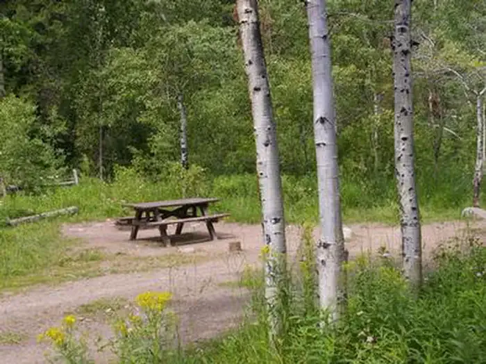 North Fork (id)CampingPhoto: Recreation.gov (RIDB) / public domain5.4 mi
Source: Roamze catalog (indexable pages within 10 miles, PostGIS distance)
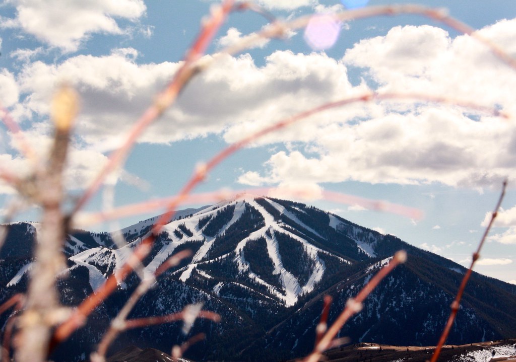 Aspen LoopHiking · ~8 min drivePhoto: Chloé François, CC BY 2.0 (via Flickr)
 Proctor MountainHiking · ~8 min drivePhoto: ArtBrom, CC BY-SA 2.0 (via Flickr)
 NEWMAN CREEKHiking · ~14 min drivePhoto: Matt Lavin, CC BY-SA 2.0 (via Flickr)Corral CreekHiking · ~8 min drivePhoto: ArtBrom, CC BY-SA 2.0 (via Flickr)Trail CreekHiking · ~9 min drivePhoto: ArtBrom, CC BY-SA 2.0 (via Flickr)
 Easley Gulch Aka CurliesHiking · ~13 min drivePhoto: Matt Lavin, CC BY-SA 2.0 (via Flickr)

