Coosa Backcountry
- 10.1 mi
- round trip
- 5,807 ft
- climb
- 4,157 ft
- high point
- Out and back
- route
Caution at last check
Agency alerts are in effect for this area; weather is good · USFS, OpenWeather · checked 23 h ago
Is Coosa Backcountry open right now?
Closure in the area
There's a closure order in Chattahoochee-Oconee National Forests. It doesn't name Coosa Backcountry, so check the source for the area it covers (4 listed).
Road Maintenance: West Cowpen Road (FSR 17)
Agency closure covering Chattahoochee-Oconee National Forests · USFS · Chattahoochee-Oconee National Forests
Prescribed fire on Oconee Ranger District at Jasper County
Agency closure covering Chattahoochee-Oconee National Forests · USFS · Chattahoochee-Oconee National Forests
Muskrat Road, FS 218, Temporarily Closed
Agency closure covering Chattahoochee-Oconee National Forests · USFS · Chattahoochee-Oconee National Forests
Flash Flood Awareness
Agency closure covering Chattahoochee-Oconee National Forests · USFS · Chattahoochee-Oconee National Forests
Lake Winfield Scott closed except fishing pier
Agency alert covering Chattahoochee-Oconee National Forests · USFS · Chattahoochee-Oconee National Forests
As of · Source: USFS · Chattahoochee-Oconee National Forests. Agencies don't list every closure — check before you go.
Coosa Backcountry is a demanding out-and-back hike of about 20 miles on the Forest Service land of the Blue Ridge Ranger District in the Chattahoochee-Oconee National Forests in Georgia. It starts at roughly 2,600 feet and climbs steadily to a high point of 4,157 feet, with a total elevation gain of about 5,800 feet over the round trip. The steepest section comes at about 7.5 miles in, with a grade of nearly 29 percent, and the route is rated expert. The trip takes about nine and a half hours. Bear Hair Gap Trail and Bear Hair Gap both sit within a quarter mile of the start, and Blood Mountain and Lake Winfield Scott Recreation Area are close by for climbing and camping.
Local outfitters
Not on Roamze yet. Their page has how to reach them.
Keep exploring — more trails worth the drive
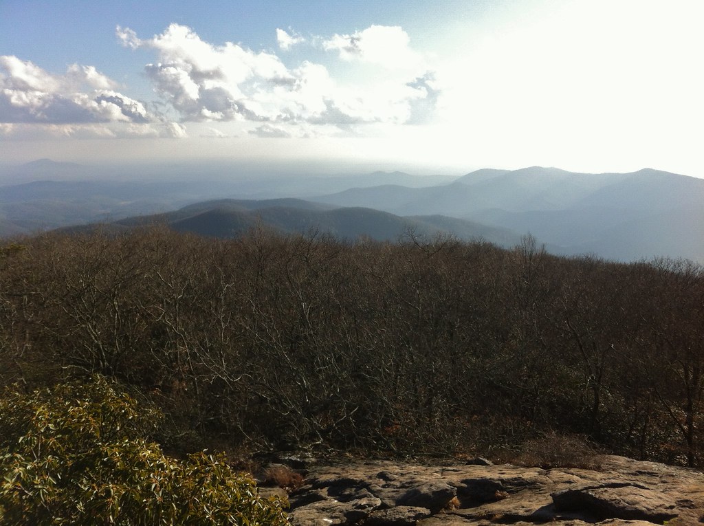 Photo: TranceMist, CC BY 2.0 (via Flickr)
Coosa Backcountry Trail
~1 min drive
2.32-mile out-and-back hike in Georgia with 1,182 ft elevation gain
Photo: TranceMist, CC BY 2.0 (via Flickr)Coosa Backcountry
~2 min drive
A 6-mile out-and-back backcountry hike through Georgia's Coosa region.
Photo: TranceMist, CC BY 2.0 (via Flickr)Woods Hole Shelter
~3 min drive
0.40-mile out-and-back trail at Woods Hole Shelter in Georgia
 Photo: Pete Seabolt, CC BY 3.0 (via Wikimedia Commons)
Byron Herbert Reece
~3 min drive
1.40-mile out-and-back trail in Georgia with 111 ft gain and 488 ft loss.
HIKE
Yellow Mountain
~10 min drive
6.30-mile out-and-back trail on Yellow Mountain in Georgia
 Photo: samhozan, Public Domain Dedication (CC0) (via Flickr)
Helton Creek Falls
~4 min drive
0.26-mile out-and-back trail to Helton Creek Falls in Georgia.
Photo: Pete Seabolt, CC BY 3.0 (via Wikimedia Commons)Freeman
~3 min drive
3.58-mile out-and-back trail in Georgia with 1,157 ft gain
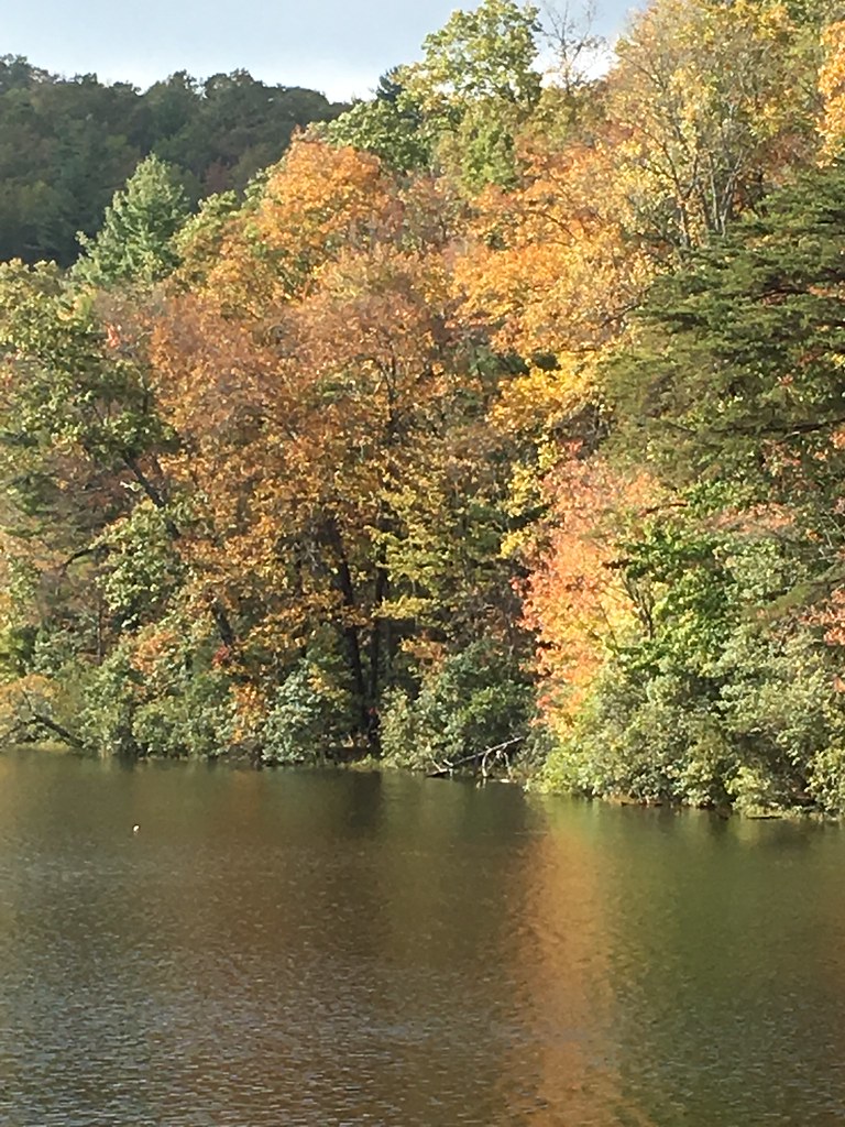 Photo: ChattOconeeNF, CC BY 2.0 (via Flickr)
Slaughter Creek Trail
~5 min drive
0.7-mile out-and-back trail in Georgia with 397 ft gain and 3,086 ft max elevation.
Photo: ChattOconeeNF, CC BY 2.0 (via Flickr)Slaughter Creek
~4 min drive
3.62-mile out-and-back trail in Georgia with 1,183 ft of elevation gain.
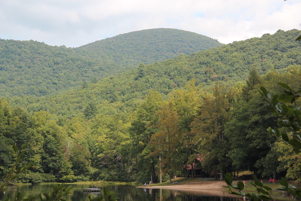 Photo: Thomson20192, Public Domain Dedication (CC0) (via Flickr)
Lake Winfield Scott
~5 min drive
0.30-mile loop trail at Lake Winfield Scott in Georgia with 564 ft elevation gain.


Map and trail data © OpenStreetMap contributors
