Martin's Mine Trail
- 0.7 mi
- loop
- 196 ft
- climb
- 1,627 ft
- high point
- Loop
- route
- Mar–May, Sep–Nov
- best months
Clear today
Weather is good · OpenWeather · checked 10 h ago
Martin's Mine Trail is a short, easy loop in Smithgall Woods-Dukes Creek State Park in Georgia, managed by the State Department of Natural Resources. The trail is 0.72 miles long, with a total elevation gain of 196 feet, and it starts and ends at nearly the same elevation, about 1,505 feet. The high point on the loop reaches 1,627 feet, and the steepest stretch comes at about 0.63 miles in, with a grade of about 11 percent. Spring and fall are the most comfortable times to go. Typical averages from a nearby weather station show October highs around 68°F with lows near 47°F, and April highs around 69°F. Summer is warmer and wetter, with July highs near 82°F and about 15 wet days in the month. The trail makes an easy addition to a day in the park. Dukes Creek, a river fishing spot, is just 0.2 miles away, and the Forest Management Trail and Chunanee Falls Trail are both within half a mile. For an overnight stay, A.T. Whitley Gap Shelter is about 5.9 miles off.
Local outfitters
Not on Roamze yet. Their page has how to reach them.
- Dukes CreekRiver fishing0.2 mi
- Forest Management TrailHiking0.4 mi
- Tsalaki TrailHiking0.5 mi
- Chunanee Falls TrailHiking0.5 mi
- Sparrow BoulderRock climbing3.1 mi
- Project BoulderRock climbing3.1 mi
- A.t. Whitley Gap ShelterCamping5.9 mi
- A.t. Low Gap ShelterCamping8.2 mi
Source: Roamze catalog (indexable pages within 10 miles, PostGIS distance)
 Laurel Ridge TrailHiking · ~3 min drivePhoto: ChattOconeeNF, CC BY 2.0 (via Wikimedia Commons)
 Mount YonahHiking · ~5 min drivePhoto: twslivxe26, CC BY-SA 2.0 (via Flickr)
 Dukes Creek FallsHiking · ~6 min drivePhoto: Bas van Oorschot, CC BY-SA 3.0 (via Wikimedia Commons)
- Coosa BackcountryHiking · ~21 min drive
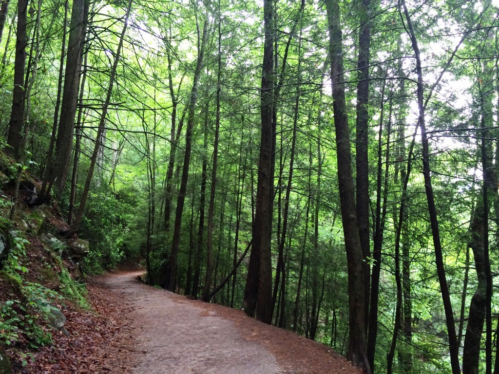 Waterfall Access TrailHiking · ~5 min drivePhoto: ChattOconeeNF, CC BY 2.0 (via Flickr)
 Smith Creek TrailHiking · ~10 min drivePhoto: Bas van Oorschot, CC BY-SA 3.0 (via Wikimedia Commons)
- Raven CliffsHiking · ~6 min drivePhoto: ChattOconeeNF, CC BY 2.0 (via Wikimedia Commons)
 Helton Creek FallsHiking · ~18 min drivePhoto: samhozan, Public Domain Dedication (CC0) (via Flickr)
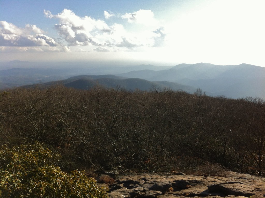 Coosa BackcountryHiking · ~22 min drivePhoto: TranceMist, CC BY 2.0 (via Flickr)
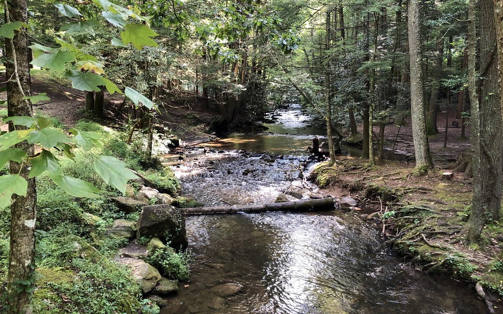 Lake TrailHiking · ~6 min drivePhoto: gary_leavens, CC BY-SA 2.0 (via Flickr)
Best time to visit Martin's Mine Trail
Best months: March–May and September–November. Best months have typical highs of 55–85 °F, lows of 30 °F or warmer (32 °F where the station doesn't record snow), at most one snowy day and no more than 12 wet days.
Jan
49° / 28°
12 wet · 1 snow
Feb
53° / 31°
12 wet · 1 snow
Mar
61° / 36°
12 wet
Apr
69° / 44°
11 wet
May
74° / 53°
12 wet
Jun
79° / 61°
14 wet
Jul
82° / 64°
15 wet
Aug
80° / 64°
13 wet
Sep
76° / 58°
9 wet
Oct
68° / 47°
10 wet
Nov
59° / 37°
10 wet
Dec
52° / 31°
12 wet
Typical high / low (°F) and days with rain or snow, 1991–2020. Measured at Sautee 3w, GA, 1.1 mi away at 1,591 ft. Source: NOAA NCEI U.S. Climate Normals 1991–2020.


Map and trail data © OpenStreetMap contributors
