Lovingood Trail
- 3.1 mi
- round trip
- 2,561 ft
- climb
- 2,834 ft
- high point
- Out and back
- route
- Mar–May, Aug–Nov
- best months
Is Lovingood Trail open right now?
Closure in the area
There's a closure order in Chattahoochee-Oconee National Forests. It doesn't name Lovingood Trail, so check the source for the area it covers (5 listed).
West Cowpen, FS Road 17, Road Maintenance
Agency closure covering Chattahoochee-Oconee National Forests · USFS · Chattahoochee-Oconee National Forests
Bear Creek Road, FS 241, Temporarily Closed
Agency closure covering Chattahoochee-Oconee National Forests · USFS · Chattahoochee-Oconee National Forests
Prescribed fire on Oconee Ranger District at Jasper County
Agency closure covering Chattahoochee-Oconee National Forests · USFS · Chattahoochee-Oconee National Forests
Muskrat Road, FS 218, Temporarily Closed
Agency closure covering Chattahoochee-Oconee National Forests · USFS · Chattahoochee-Oconee National Forests
Flash Flood Awareness
Agency closure covering Chattahoochee-Oconee National Forests · USFS · Chattahoochee-Oconee National Forests
As of · Source: USFS · Chattahoochee-Oconee National Forests. Agencies don't list every closure — check before you go.
Lovingood Trail is a hard hike in the Blue Ridge Ranger District of the Chattahoochee-Oconee National Forests in north Georgia, within the Blue Ridge Wildlife Management Area. The State Department of Natural Resources manages the land. The trail is an out-and-back of about 6 miles, with a total elevation gain of about 2,560 feet. The climb is front-loaded, with the steepest stretch at about 1.9 miles, where the grade reaches 17%. The high point is 2,834 feet, and the route starts at about 2,175 feet. For timing, fall is the most comfortable season. Typical averages from a nearby weather station in Blairsville show October highs around 70°F with lows near 43°F, and the station sits well below the trail, so temperatures on the route run cooler. The trip takes about 3.5 hours. Duncan Ridge is about 3 miles away, and Frank Gross campground is about 3.5 miles away. Paddlers can reach Tickanetley Creek at about 6 miles and the Toccoa River at about 7 miles.
- Duncan RidgeHiking3.1 mi
- Frank GrossCamping3.5 mi
- Edmonson Branch TrailHiking4.6 mi
- Edmonson East TrailHiking4.9 mi
- Deep Hole Rec. AreaCamping4.9 mi
- Tickanetley CreekCanoeing6.2 mi
 Toccoa RiverCanoeingPhoto: Thomson200, CC0 (via Wikimedia Commons)7.1 mi
- Cochran FallsRock climbing8.2 mi
Source: Roamze catalog (indexable pages within 10 miles, PostGIS distance)
 Appalachian TrailHiking · ~10 min drivePhoto: Thomson20192, Public Domain Dedication (CC0) (via Flickr)
 Toccoa Canoe TrailHiking · ~11 min drivePhoto: Lahti213, CC BY-SA 4.0 (via Wikimedia Commons)
 Anderson CreekHiking · ~11 min drivePhoto: Thomson20192, Public Domain Dedication (CC0) (via Flickr)
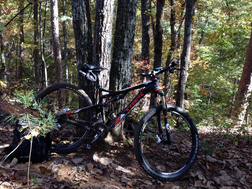 FDR-83 Bull Mountain TrailHiking · ~15 min drivePhoto: jsnyng, CC BY 2.0 (via Flickr)
- Duncan Ridge TrailHiking · ~14 min drive
- Fdr-872 Jones Creek Dam TrailHiking · ~15 min drivePhoto: jsnyng, CC BY 2.0 (via Flickr)
 Benton Mackaye TrailHiking · ~14 min drivePhoto: Thomson20192, Public Domain Dedication (CC0) (via Flickr)
 Creek TrailHiking · ~16 min drivePhoto: Bas van Oorschot, CC BY-SA 3.0 (via Wikimedia Commons)
- Stanley GapHiking · ~14 min drivePhoto: Thomson20192, Public Domain Dedication (CC0) (via Flickr)
- JAKE/BULL CONNECTOR TRAILHiking · ~15 min drivePhoto: jsnyng, CC BY 2.0 (via Flickr)
Also worth it near here
 Springer MountainSummit · ~9 min drivePhoto: Mark Larson, CC BY-SA 2.0 (via Wikimedia Commons)
- Sandy Bottoms - Toccoa River Canoe LaunchBoat launch · ~11 min drive
 Amicalola MountainCamping · ~12 min drivePhoto: Scott Long, CC BY 3.0 (via Wikimedia Commons)
- Toccoa RiverCanoeing · ~12 min drivePhoto: Thomson200, CC0 (via Wikimedia Commons)
Best time to visit Lovingood Trail
Best months: March–May and August–November. Best months have typical highs of 55–85 °F, lows of 30 °F or warmer (32 °F where the station doesn't record snow), at most one snowy day and no more than 12 wet days.
Jan
49° / 25°
12 wet
Feb
53° / 28°
12 wet
Mar
60° / 34°
12 wet
Apr
69° / 41°
11 wet
May
76° / 50°
12 wet
Jun
82° / 58°
13 wet
Jul
85° / 62°
13 wet
Aug
84° / 61°
12 wet
Sep
80° / 55°
9 wet
Oct
70° / 43°
10 wet
Nov
61° / 33°
10 wet
Dec
52° / 29°
12 wet
Typical high / low (°F) and days with rain or snow, 1991–2020. Measured at Blairsville Exp Stn, GA, 18.6 mi away at 1,949 ft. The station sits about 900 ft lower than this place, so expect it a little cooler here. This station doesn't record snowfall. Source: NOAA NCEI U.S. Climate Normals 1991–2020.
Closures we've recorded since August 2026
Spring 2026 Forest-wide Fire Restrictions
Chattahoochee-Oconee National Forests · Order dated April 23, 2026; seen Aug 23, 2026 → lifted Oct 13, 2026 · Forest Service
Map and trail data © OpenStreetMap contributors
