Eagle's Rest Trail
- 0.4 mi
- loop
- 101 ft
- climb
- 3,279 ft
- high point
- Loop
- route
Eagle's Rest Trail is a short loop of about 0.4 miles on the high ground of northwest Georgia, roughly 3.5 miles from the town of Grandview. It is an easy outing with a low elevation gain of 101 feet, and it makes a natural pairing with the Grassy Knob Vista Trail and the Ogelthorpe Mountain Trail, which both lie within about a tenth of a mile. The route starts at around 3,261 feet and reaches a high point of 3,279 feet, with the steepest stretch near the 0.22-mile mark at about a 5% grade. The loop ends with a descent of roughly the same 101 feet, so the total gain and loss are each about that. The whole walk takes about half an hour. The Grassy Knob Vista Trail and the Ogelthorpe Mountain Trail are the closest additions to the route, both within a tenth of a mile. Rocky Ford Trail is about 1.7 miles away, and Amicalola Creek, a paddling stream, is about 4 miles off.
Conditions and forecast on Mount Oglethorpe
Daily highs and lows, wind and the chance of precipitation at the summit and route start for the next 7 days, from the Open-Meteo model.
- Grassy Knob Vista TrailHiking0.1 mi
- Ogelthorpe Mountain TrailHiking0.1 mi
- Rocky Ford TrailHiking1.7 mi
- Tobacco Pouch RoadHiking1.7 mi
- Fall Creek TrailHiking2.3 mi
- Amicalola CreekCanoeing4 mi
 Talking Rock CreekCanoeingPhoto: John Phelan, CC BY 4.0 (via Wikimedia Commons)8.9 mi
- Cochran FallsRock climbing9.3 mi
Source: Roamze catalog (indexable pages within 10 miles, PostGIS distance)
 Burnt Mountain Champion TrailHiking · ~8 min drivePhoto: StephenGA, Public Domain Dedication (CC0) (via Flickr)
 Appalachian Approach Trail - GeorgiaHiking · ~12 min drivePhoto: StephenGA, Public Domain Dedication (CC0) (via Flickr)
 Abandoned TrackHiking · ~15 min drivePhoto: jeffgunn, CC BY 2.0 (via Flickr)
 Appalachian TrailHiking · ~20 min drivePhoto: Thomson20192, Public Domain Dedication (CC0) (via Flickr)
 Mountain Laural Loop TrailHiking · ~12 min drivePhoto: Bas van Oorschot, CC BY-SA 3.0 (via Wikimedia Commons)
 Fdr-872 Jones Creek Dam TrailHiking · ~22 min drivePhoto: jsnyng, CC BY 2.0 (via Flickr)
 Anderson CreekHiking · ~16 min drivePhoto: Thomson20192, Public Domain Dedication (CC0) (via Flickr)
- Spring TrailHiking · ~12 min drivePhoto: Bas van Oorschot, CC BY-SA 3.0 (via Wikimedia Commons)
 Hike Inn LodgeHiking · ~13 min drivePhoto: Bas van Oorschot, CC BY-SA 3.0 (via Wikimedia Commons)
- JAKE/BULL CONNECTOR TRAILHiking · ~22 min drivePhoto: jsnyng, CC BY 2.0 (via Flickr)
Also worth it near here
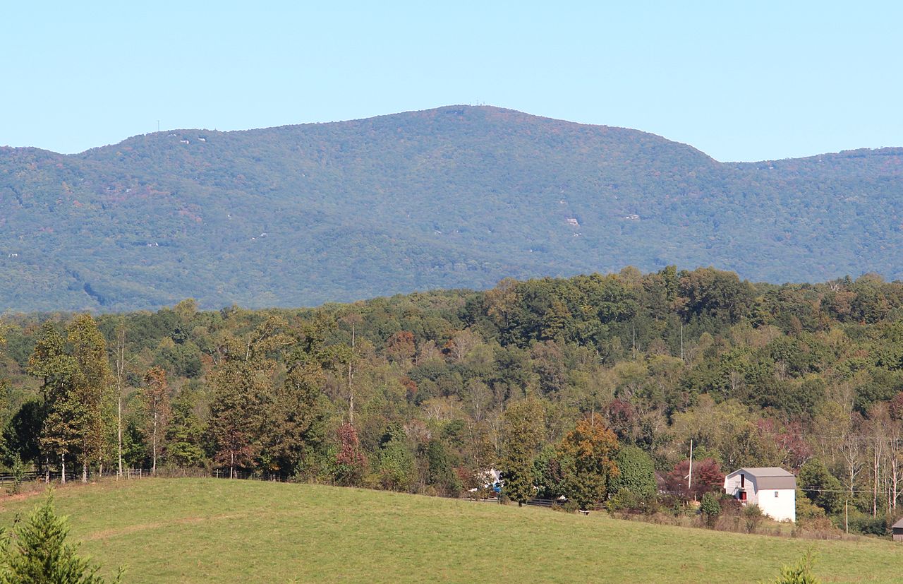 Mount OglethorpeSummit · Next doorPhoto: Thomson200, CC0 (via Wikimedia Commons)
 Sharptop Cove Young Life CampCamping · ~4 min drivePhoto: Thomson M, CC BY 3.0 (via Wikimedia Commons)
 Amicalola FallsWaterfall · ~13 min drivePhoto: Jsfouche, CC BY-SA 3.0 (via Wikimedia Commons)
- Talking Rock CreekCanoeing · ~15 min drivePhoto: John Phelan, CC BY 4.0 (via Wikimedia Commons)
Route details
- Distance
- 0.4 mi
- Climbing
- About 101 ft
- Summit
- 3,282 ft
- Difficulty
- Easy
- Time
- About 0 hours
Other routes up Mount Oglethorpe
Questions about this route
How long is the Eagle's Rest Trail on Mount Oglethorpe?
About 0.4 mi.
How much elevation gain is on the Eagle's Rest Trail?
About 101 ft of climbing round trip.
How hard is the Eagle's Rest Trail?
It is rated easy.
How long does the Eagle's Rest Trail take?
About 0 hours round trip.
How many routes go up Mount Oglethorpe?
3: Ogelthorpe Mountain Trail, Eagle's Rest Trail and Grassy Knob Vista Trail.
Map and trail data © OpenStreetMap contributors
