Tobacco Pouch Road
- 2.1 mi
- one way
- 866 ft
- climb
- 3,017 ft
- high point
- Point to point
- route
- Mar–Nov
- best months
Tobacco Pouch Road is a 2.1-mile hike in Dawson Forest Wildlife Management Area in north Georgia, managed by the State Department of Natural Resources. The route is a point-to-point trail, and it's rated easy, with a total elevation gain of 866 feet and a total loss of 1,091 feet over the course of the trip. The trail starts at about 2,776 feet and climbs to a high point of 3,017 feet before descending. The steepest stretch comes at about 1.2 miles in, where the grade reaches 57 percent. Bikes and horses are not allowed on this route. For comfortable weather, aim for late spring or early fall. Typical averages from a nearby weather station in Jasper show May highs around 75°F and October highs around 69°F, though that station sits well below the trail, so temperatures on the higher ground run cooler. Rocky Ford Trail lies just 0.1 mile away, and Fall Creek Trail and Wildcat Creek Trail are both within about a mile. Paddlers can find Amicalola Creek about 2.7 miles off.
Best time to go · Mar–Nov
Best time to visit Tobacco Pouch Road
Best months: March–November. Best months have typical highs of 55–85 °F, lows of 30 °F or warmer (32 °F where the station doesn't record snow), at most one snowy day and no more than 12 wet days.
Jan
48° / 31°
10 wet · 1 snow
Feb
52° / 34°
9 wet
Mar
60° / 40°
10 wet
Apr
68° / 47°
9 wet
May
75° / 55°
9 wet
Jun
82° / 63°
10 wet
Jul
85° / 67°
11 wet
Aug
84° / 66°
9 wet
Sep
79° / 61°
8 wet
Oct
69° / 50°
8 wet
Nov
59° / 40°
8 wet
Dec
51° / 35°
10 wet
Typical high / low (°F) and days with rain or snow, 1991–2020. Measured at Jasper 1 Nnw, GA, 7.8 mi away at 1,465 ft. The station sits about 1,600 ft lower than this place, so expect it a little cooler here. Source: NOAA NCEI U.S. Climate Normals 1991–2020.
Keep exploring — more trails worth the drive
 Photo: StephenGA, Public Domain Dedication (CC0) (via Flickr)
Burnt Mountain Champion Trail
~8 min drive
1.83-mile loop with 719 ft elevation gain and loss in Georgia
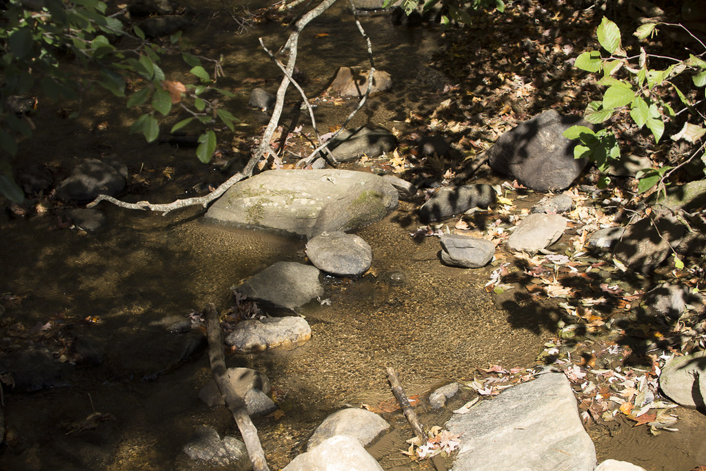 Photo: StephenGA, Public Domain Dedication (CC0) (via Flickr)
Appalachian Approach Trail - Georgia
~9 min drive
A 15.48-mile point-to-point approach to Georgia's Appalachian Trail with mountain scenery.
 Photo: Thomson20192, Public Domain Dedication (CC0) (via Flickr)
Anderson Creek
~14 min drive
6.58-mile out-and-back trail in Georgia with 2,085 ft elevation gain.
 Photo: Thomson20192, Public Domain Dedication (CC0) (via Flickr)
Appalachian Trail
~17 min drive
120-mile point-to-point section of the iconic Appalachian Trail through Georgia mountains.
 Photo: Bas van Oorschot, CC BY-SA 3.0 (via Wikimedia Commons)
Mountain Laural Loop Trail
~9 min drive
1.16-mile out-and-back hike in Georgia with 629 ft elevation gain/loss.
 Photo: Bas van Oorschot, CC BY-SA 3.0 (via Wikimedia Commons)
Hike Inn Lodge
~10 min drive
10.96-mile out-and-back hike in Georgia with 1,704 ft gain.
 Photo: jeffgunn, CC BY 2.0 (via Flickr)
Abandoned Track
~15 min drive
Short point-to-point walk along a historic abandoned track in Georgia.
Photo: Bas van Oorschot, CC BY-SA 3.0 (via Wikimedia Commons)Spring Trail
~9 min drive
0.62-mile out-and-back hike in Georgia with 221 ft of elevation gain
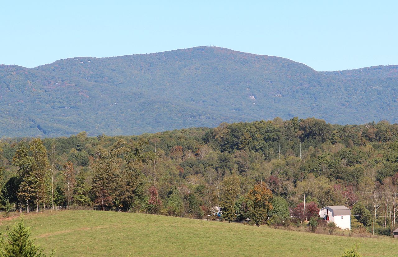
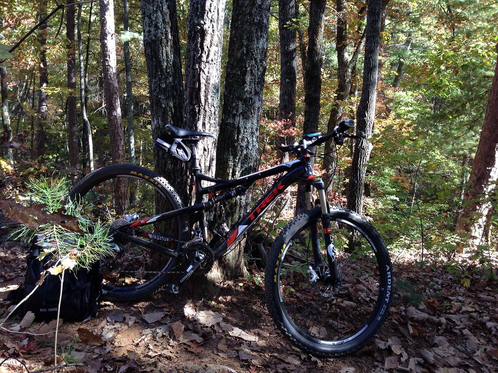 Photo: jsnyng, CC BY 2.0 (via Flickr)
Fdr-872 Jones Creek Dam Trail
~19 min drive
6.30-mile out-and-back hike to Jones Creek Dam in Georgia
Photo: jsnyng, CC BY 2.0 (via Flickr)JAKE/BULL CONNECTOR TRAIL
~19 min drive
6.96-mile out-and-back trail in Georgia with 1,309 ft elevation gain
Also worth it near here

Map and trail data © OpenStreetMap contributors
