Rocky Ford Trail
- 1.8 mi
- round trip
- 1,908 ft
- climb
- 2,701 ft
- high point
- Out and back
- route
- Mar–Nov
- best months
Rocky Ford Trail is a moderate out-and-back hike of about 3.5 miles on Dawson Forest Wildlife Management Area in north Georgia. The State Department of Natural Resources manages the land, and the trail rises from a low of about 1,587 feet to a high of about 2,701 feet. The total elevation gain is about 1,908 feet for the round trip, with the steepest section, a 31% grade, beginning just beyond the trail's start. Spring and fall are the most comfortable times to go. Typical averages from a nearby weather station in Jasper, about 8 miles away, run to highs near 68°F in April and 69°F in October. That station sits well below the trail, so temperatures on the higher ground run cooler. The hike takes about 2 hours, and the Tobacco Pouch Road trail starts just 0.1 mile away. Fall Creek Trail and Wildcat Creek Trail are within about a mile, and paddlers can reach Amicalola Creek roughly 2.7 miles off.
Best time to go · Mar–Nov
Best time to visit Rocky Ford Trail
Best months: March–November. Best months have typical highs of 55–85 °F, lows of 30 °F or warmer (32 °F where the station doesn't record snow), at most one snowy day and no more than 12 wet days.
Jan
48° / 31°
10 wet · 1 snow
Feb
52° / 34°
9 wet
Mar
60° / 40°
10 wet
Apr
68° / 47°
9 wet
May
75° / 55°
9 wet
Jun
82° / 63°
10 wet
Jul
85° / 67°
11 wet
Aug
84° / 66°
9 wet
Sep
79° / 61°
8 wet
Oct
69° / 50°
8 wet
Nov
59° / 40°
8 wet
Dec
51° / 35°
10 wet
Typical high / low (°F) and days with rain or snow, 1991–2020. Measured at Jasper 1 Nnw, GA, 7.8 mi away at 1,465 ft. The station sits about 1,200 ft lower than this place, so expect it a little cooler here. Source: NOAA NCEI U.S. Climate Normals 1991–2020.
Keep exploring — more trails worth the drive
 Photo: StephenGA, Public Domain Dedication (CC0) (via Flickr)
Burnt Mountain Champion Trail
~8 min drive
1.83-mile loop with 719 ft elevation gain and loss in Georgia
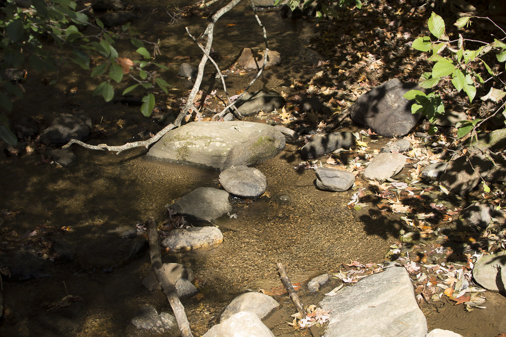 Photo: StephenGA, Public Domain Dedication (CC0) (via Flickr)
Appalachian Approach Trail - Georgia
~9 min drive
A 15.48-mile point-to-point approach to Georgia's Appalachian Trail with mountain scenery.
 Photo: jeffgunn, CC BY 2.0 (via Flickr)
Abandoned Track
~15 min drive
Short point-to-point walk along a historic abandoned track in Georgia.
 Photo: Thomson20192, Public Domain Dedication (CC0) (via Flickr)
Appalachian Trail
~17 min drive
120-mile point-to-point section of the iconic Appalachian Trail through Georgia mountains.
 Photo: Bas van Oorschot, CC BY-SA 3.0 (via Wikimedia Commons)
Spring Trail
~9 min drive
0.62-mile out-and-back hike in Georgia with 221 ft of elevation gain
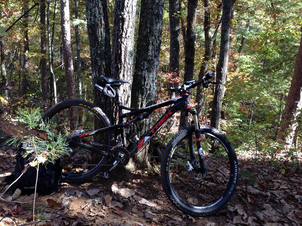 Photo: jsnyng, CC BY 2.0 (via Flickr)
Fdr-872 Jones Creek Dam Trail
~19 min drive
6.30-mile out-and-back hike to Jones Creek Dam in Georgia
 Photo: Thomson20192, Public Domain Dedication (CC0) (via Flickr)
Anderson Creek
~14 min drive
6.58-mile out-and-back trail in Georgia with 2,085 ft elevation gain.
Photo: Bas van Oorschot, CC BY-SA 3.0 (via Wikimedia Commons)Creek Trail
~9 min drive
1.02-mile out-and-back trail in Georgia with 813 ft elevation gain.
 Photo: Bas van Oorschot, CC BY-SA 3.0 (via Wikimedia Commons)
Hike Inn Lodge
~10 min drive
10.96-mile out-and-back hike in Georgia with 1,704 ft gain.
Photo: jsnyng, CC BY 2.0 (via Flickr)JAKE/BULL CONNECTOR TRAIL
~19 min drive
6.96-mile out-and-back trail in Georgia with 1,309 ft elevation gain
Also worth it near here

Map and trail data © OpenStreetMap contributors
