Durham Backcountry Campsite
Campground
Campground · 0.5 mi from the trail
Chalkeye Loop is a 1.2-mile loop hike on the Lula Lake Land Trust Site in Georgia, managed by a non-governmental organization. The trail is rated easy, with a total elevation gain of 238 feet and a total loss of 238 feet over the course of the loop. The climb is most pronounced around the 0.66-mile mark, where the grade reaches about 9 percent. Spring and fall are the most comfortable times to go. Typical averages from a nearby weather station at Lookout Mountain, Tennessee, show October highs around 67°F with lows near 51°F, and April highs around 68°F. That station sits about 250 feet higher than the trail, so temperatures on the loop run slightly warmer. Nearby options include the Barkeater hike and the Great Eastern Trail - Lookout Mountain, both about 3.7 miles away, and the Expert mountain biking trail at 3.3 miles. Paddlers can head to Sitton Gulch Creek, about 3.7 miles off.
Durham Backcountry Campsite
Campground
 If it rainsPub. by Cline Photo Co., Chattanooga. Tenn. "Tichnor Quality Views," Reg. U. S. Pat. Off. Made Only by Tichnor Bros.,..., Public domain · Wikimedia Commons
Ochs Memorial Museum
Museum
Places © OpenStreetMap contributors, Places © Overture Maps Foundation · Photos: Pub. by Cline Photo Co., Chattanooga. Tenn. "Tichnor Quality Views," Reg. U. S. Pat. Off. Made Only by Tichnor Bros.,..., Public domain (commons)
More in Red Bank West Chickamauga CreekCanoeingPhoto: Muhranoff, CC BY-SA 4.0 (via Wikimedia Commons)8.3 mi
Source: Roamze catalog (indexable pages within 10 miles, PostGIS distance)
 Bear Creek Backcountry TrailHiking · ~6 min drivePhoto: The_Gut, CC BY 2.0 (via Flickr)
 Turkey TrailHiking · ~7 min drivePhoto: SeeMidTN.com (aka Brent), CC BY 2.0 (via Flickr)
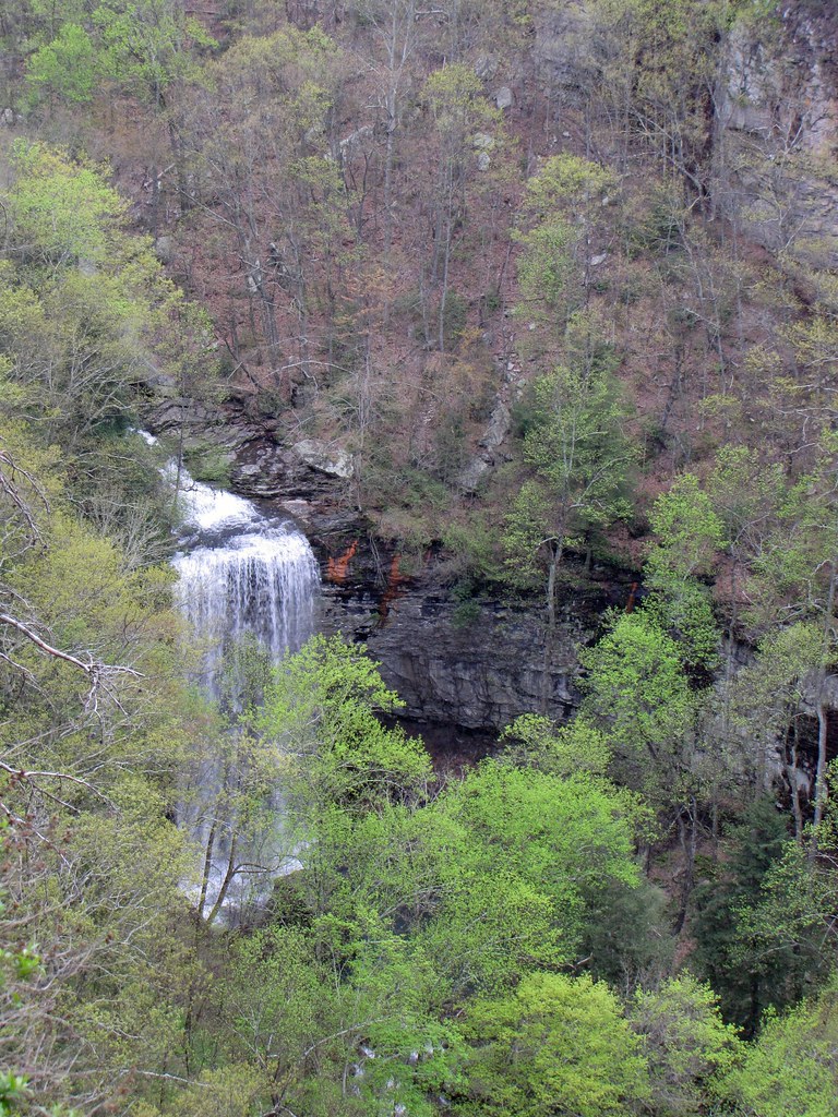 West Rim Loop TrailHiking · ~8 min drivePhoto: The_Gut, CC BY 2.0 (via Flickr)
 Sitton's Gulch TrailHiking · ~7 min drivePhoto: pseabolt, CC BY 3.0 (via Wikimedia Commons)South CreekHiking · ~7 min drivePhoto: SeeMidTN.com (aka Brent), CC BY 2.0 (via Flickr)
 Homestead TrailHiking · ~7 min drivePhoto: SeeMidTN.com (aka Brent), CC BY 2.0 (via Flickr)
 Overlook TrailHiking · ~7 min drivePhoto: pseabolt, CC BY 3.0 (via Wikimedia Commons)
Best months: March–November. Best months have typical highs of 55–85 °F, lows of 30 °F or warmer (32 °F where the station doesn't record snow), at most one snowy day and no more than 12 wet days.
Jan
46° / 29°
11 wet
Feb
49° / 31°
11 wet
Mar
58° / 39°
11 wet
Apr
68° / 47°
11 wet
May
74° / 57°
11 wet
Jun
81° / 65°
11 wet
Jul
84° / 67°
11 wet
Aug
82° / 67°
10 wet
Sep
78° / 61°
8 wet
Oct
67° / 51°
9 wet
Nov
57° / 40°
9 wet
Dec
48° / 32°
11 wet
Typical high / low (°F) and days with rain or snow, 1991–2020. Measured at Lookout Mtn-Point Park, TN, 10.5 mi away at 2,110 ft. This station doesn't record snowfall. Source: NOAA NCEI U.S. Climate Normals 1991–2020.
Map and trail data © OpenStreetMap contributors

