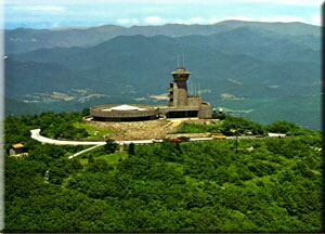
Arkaquah
- 4.2 mi
- round trip
- 3,347 ft
- climb
- 3,670 ft
- high point
- Out and back
- route
- Mar–Nov
- best months
Is Arkaquah open right now?
Closure in the area
There's a closure order in Chattahoochee-Oconee National Forests. It doesn't name Arkaquah, so check the source for the area it covers (4 listed).
Road Maintenance: West Cowpen Road (FSR 17)
Agency closure covering Chattahoochee-Oconee National Forests · USFS · Chattahoochee-Oconee National Forests
Prescribed fire on Oconee Ranger District at Jasper County
Agency closure covering Chattahoochee-Oconee National Forests · USFS · Chattahoochee-Oconee National Forests
Muskrat Road, FS 218, Temporarily Closed
Agency closure covering Chattahoochee-Oconee National Forests · USFS · Chattahoochee-Oconee National Forests
Flash Flood Awareness
Agency closure covering Chattahoochee-Oconee National Forests · USFS · Chattahoochee-Oconee National Forests
Lake Winfield Scott closed except fishing pier
Agency alert covering Chattahoochee-Oconee National Forests · USFS · Chattahoochee-Oconee National Forests
As of · Source: USFS · Chattahoochee-Oconee National Forests. Agencies don't list every closure — check before you go.
Arkaquah is a moderate out-and-back hike in the Brasstown Wilderness, part of the Blue Ridge Ranger District of the Chattahoochee-Oconee National Forests in north Georgia. The trail starts at about 3,580 feet and climbs to a high point of 3,670 feet, with a total elevation gain of 3,347 feet over the course of the round trip. The steepest stretch comes at about mile 1, where the grade reaches 33 percent. The route is on natural surface, and the Forest Service manages the land. Bikes and horses are not allowed. For comfortable weather, aim for late spring or early fall. Typical averages from a nearby weather station at Germany Valley run to highs around 72°F in May and 74°F in September, with July the warmest month at about 80°F. That station sits roughly 800 feet lower than the trail's high point, so temperatures on the summit run cooler. The hike takes about three hours. The Arkaquah Trail lies about 1.3 miles away, and Brasstown Bald is about 2.6 miles off. Across the line in North Carolina, Chatuge Lake is about 7.3 miles away, and the A.T. Low Gap Shelter is about 7.5 miles away.
Local outfitters
Not on Roamze yet. Their page has how to reach them.
Best time to go · Mar–Nov
Best time to visit Arkaquah
Best months: March–November. Best months have typical highs of 55–85 °F, lows of 30 °F or warmer (32 °F where the station doesn't record snow), at most one snowy day and no more than 12 wet days.
Jan
46° / 26°
Feb
50° / 28°
Mar
57° / 35°
Apr
66° / 43°
May
72° / 51°
Jun
77° / 59°
Jul
80° / 62°
Aug
79° / 61°
Sep
74° / 55°
Oct
66° / 44°
Nov
57° / 35°
Dec
49° / 30°
Typical high / low (°F) and days with rain or snow, 1991–2020. Measured at Germany Valley, GA, 22.6 mi away at 2,832 ft. The station sits about 800 ft lower than this place, so expect it a little cooler here. This station doesn't record snowfall. Source: NOAA NCEI U.S. Climate Normals 1991–2020.
Closures we've recorded since August 2026
Spring 2026 Forest-wide Fire Restrictions
Chattahoochee-Oconee National Forests · Order dated April 23, 2026; seen Aug 23, 2026 → lifted Oct 13, 2026 · Forest Service
Keep exploring — more trails worth the drive
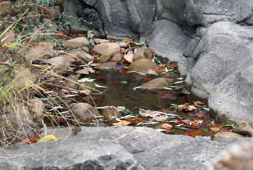 Photo: Clevergrrl, CC BY-SA 2.0 (via Flickr)
Miller Trek
~9 min drive
9.10-mile loop in Georgia with 1,636 ft elevation gain.
 Photo: gary_leavens, CC BY-SA 2.0 (via Flickr)
High Shoals
~15 min drive
2.44-mile out-and-back trail in Georgia with 809 ft elevation gain.
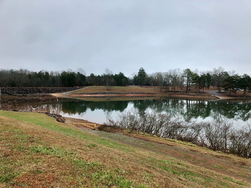 Photo: w_lemay, Public Domain Dedication (CC0) (via Flickr)
Burrell Cove
~16 min drive
A 3.61-mile out-and-back trail in Tennessee with ground surface, connecting to SABA Beach.
HIKE
Coosa Backcountry
~16 min drive
10.10-mile out-and-back trail in Georgia with 3,712 ft elevation gain.
HIKE
Jackrabbit Mountain Connector
~17 min drive
0.92-mile out-and-back trail with 215 ft gain in North Carolina.
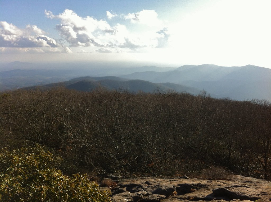 Photo: TranceMist, CC BY 2.0 (via Flickr)
Coosa Backcountry
~18 min drive
A 6-mile out-and-back backcountry hike through Georgia's Coosa region.
 Photo: alex_ford, CC BY 2.0 (via Flickr)
Saba Beach
~15 min drive
A 1.02-mile ground loop in North Carolina that links to Burrell's Cove Trail and Jackrabbit Trail.
 Photo: Bas van Oorschot, CC BY-SA 3.0 (via Wikimedia Commons)
Andrews Cove
~17 min drive
3.72-mile out-and-back trail in Georgia with 1,342 ft elevation gain
HIKE
Arkaquah Trail
~2 min drive
5.31-mile point-to-point trail in Georgia with 3,082 ft elevation gain
 Photo: samhozan, Public Domain Dedication (CC0) (via Flickr)
Helton Creek Falls
~16 min drive
0.26-mile out-and-back trail to Helton Creek Falls in Georgia.