Saba Beach
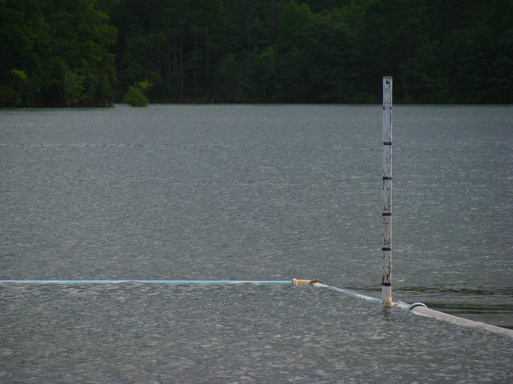 Photo: alex_ford, CC BY 2.0 (via Flickr)
- 1.0 mi
- loop
- 1,942 ft
- high point
- Loop
- route
- Easy
- difficulty
- Mar–Nov
- best months
Is Saba Beach open right now?
Closure in the area
There's a closure order in National Forests in North Carolina. It doesn't name Saba Beach, so check the source for the area it covers (2 listed).
Maple Sally Road Closure
Agency closure covering National Forests in North Carolina · USFS · National Forests in North Carolina
Table Rock Road construction starts Nov. 2, 2026
Agency closure covering National Forests in North Carolina · USFS · National Forests in North Carolina
Temporary Closure - The Elk Falls Trail
Agency alert covering National Forests in North Carolina · USFS · National Forests in North Carolina
Rainbow Springs Road closed for reconstruction
Agency alert covering National Forests in North Carolina · USFS · National Forests in North Carolina
Siddie Fields Day Use Area closed for improvements
Agency alert covering National Forests in North Carolina · USFS · National Forests in North Carolina
As of · Source: USFS · National Forests in North Carolina. Agencies don't list every closure — check before you go.
Saba Beach is a short, easy hike in the Tusquittee Ranger District of the National Forests in North Carolina, about a mile long and with no elevation gain. The trail runs on natural surface and is open year round, and it is one of the closest trails to the town of Hayesville, about 4 miles away. The route is nearly flat, with the high point at 1,942 feet and the low at 1,930 feet. The steepest stretch comes early, at about 0.12 miles in, with a grade of about 5 percent. Bikes are allowed, so the trail works for a walk or a ride. For comfortable weather, late spring and early fall are the best bets. Typical averages from a nearby weather station in Hayesville show May highs around 75°F and October highs around 70°F, with July and August highs near 84°F. Several other hikes sit within half a mile, including Yotee's Run, Burrell Cove and Burnt Tree Peninsula. Jackrabbit Mountain Campground is about a mile away.
Local outfitters
Not on Roamze yet. Their page has how to reach them.
- Yotee's RunHiking0.4 mi
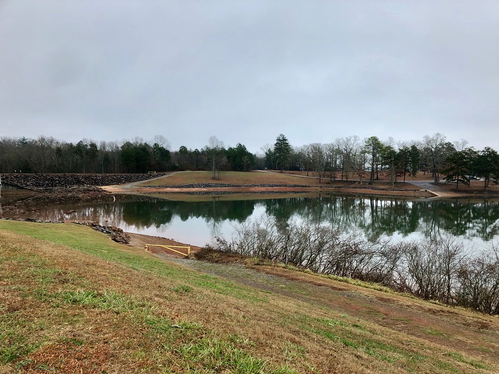 Burrell CoveHikingPhoto: w_lemay, Public Domain Dedication (CC0) (via Flickr)0.4 mi
- Burnt Tree PeninsulaHiking0.5 mi
- Sneaking CreekHiking0.6 mi
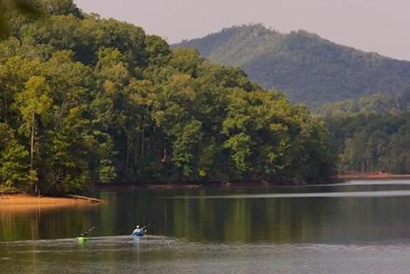 Jackrabbit MountainLake fishing1 mi
 Jackrabbit Mountain CampgroundCampingPhoto: Miles Buddy, CC BY-SA 3.0 (via Wikimedia Commons)1 mi
- Chatuge LakeLake fishing1.8 mi
- Fires CreekCanoeing8.5 mi
Source: Roamze catalog (indexable pages within 10 miles, PostGIS distance)
- High PointHiking · ~1 min drivePhoto: w_lemay, Public Domain Dedication (CC0) (via Flickr)
 Miller TrekHiking · ~7 min drivePhoto: Clevergrrl, CC BY-SA 2.0 (via Flickr)
- Burrell CoveHiking · Next doorPhoto: w_lemay, Public Domain Dedication (CC0) (via Flickr)
- Jackrabbit Mountain ConnectorHiking · ~2 min drive
- RIM TRAILHiking · ~17 min drive
 Church Cove ConnectorHiking · ~2 min drivePhoto: alex_ford, CC BY 2.0 (via Flickr)
- Rabbit RidgeHiking · ~2 min drive
- BristolHiking · ~13 min drive
- Central LoopHiking · ~2 min drivePhoto: alex_ford, CC BY 2.0 (via Flickr)
- Wagon Train TrailHiking · ~15 min drive
Best time to visit Saba Beach
Best months: March–November. Best months have typical highs of 55–85 °F, lows of 30 °F or warmer (32 °F where the station doesn't record snow), at most one snowy day and no more than 12 wet days.
Jan
49° / 24°
Feb
54° / 27°
Mar
60° / 33°
Apr
69° / 40°
May
75° / 51°
Jun
81° / 59°
Jul
84° / 62°
Aug
84° / 61°
Sep
79° / 55°
Oct
70° / 43°
Nov
60° / 32°
Dec
52° / 28°
Typical high / low (°F) and days with rain or snow, 1991–2020. Measured at Hayesville 1 Ne, NC, 4.4 mi away at 1,792 ft. This station doesn't record snowfall. Source: NOAA NCEI U.S. Climate Normals 1991–2020.

