Sarah'S Creek Campground
Campground
Campground · 3.9 mi from the trail
Closure in the area
There's a closure order in Chattahoochee-Oconee National Forests. It doesn't name Warwoman Creek, so check the source for the area it covers (5 listed).
West Cowpen, FS Road 17, Road Maintenance
Agency closure covering Chattahoochee-Oconee National Forests · USFS · Chattahoochee-Oconee National Forests
Bear Creek Road, FS 241, Temporarily Closed
Agency closure covering Chattahoochee-Oconee National Forests · USFS · Chattahoochee-Oconee National Forests
Prescribed fire on Oconee Ranger District at Jasper County
Agency closure covering Chattahoochee-Oconee National Forests · USFS · Chattahoochee-Oconee National Forests
Muskrat Road, FS 218, Temporarily Closed
Agency closure covering Chattahoochee-Oconee National Forests · USFS · Chattahoochee-Oconee National Forests
Flash Flood Awareness
Agency closure covering Chattahoochee-Oconee National Forests · USFS · Chattahoochee-Oconee National Forests
As of · Source: USFS · Chattahoochee-Oconee National Forests. Agencies don't list every closure — check before you go.
Warwoman Creek is a fishing spot in the Chattooga River Ranger District of the Chattahoochee-Oconee National Forests in north Georgia. The Forest Service manages the land. The creek makes a straightforward base for anglers heading into the mountains. Spring and fall are the most comfortable times to visit. Typical averages from a nearby weather station run from highs around 70°F in April to about 71°F in October, with October also seeing the fewest wet days of the year. Several trails and camps lie within a few miles. Rainey Mountain Trail is about 2 miles away and Becky Branch Falls about 2.7 miles. Willis Knob Horse Camp and Whetstone Horse Camp are both under 5 miles off.
Sarah'S Creek Campground
Campground
Friends Clayton Grill
Restaurant
Sunset Rock
Viewpoint
Cliff in Macon County, North Carolina, United States
Places © OpenStreetMap contributors
More in HighlandsNot on Roamze yet. Their page has how to reach them.
 Rainey Mountain TrailHikingPhoto: JM Palacios, CC BY-SA 2.0 (via Flickr)2 mi
 Becky Branch FallsHikingPhoto: JM Palacios, CC BY-SA 2.0 (via Flickr)2.7 mi
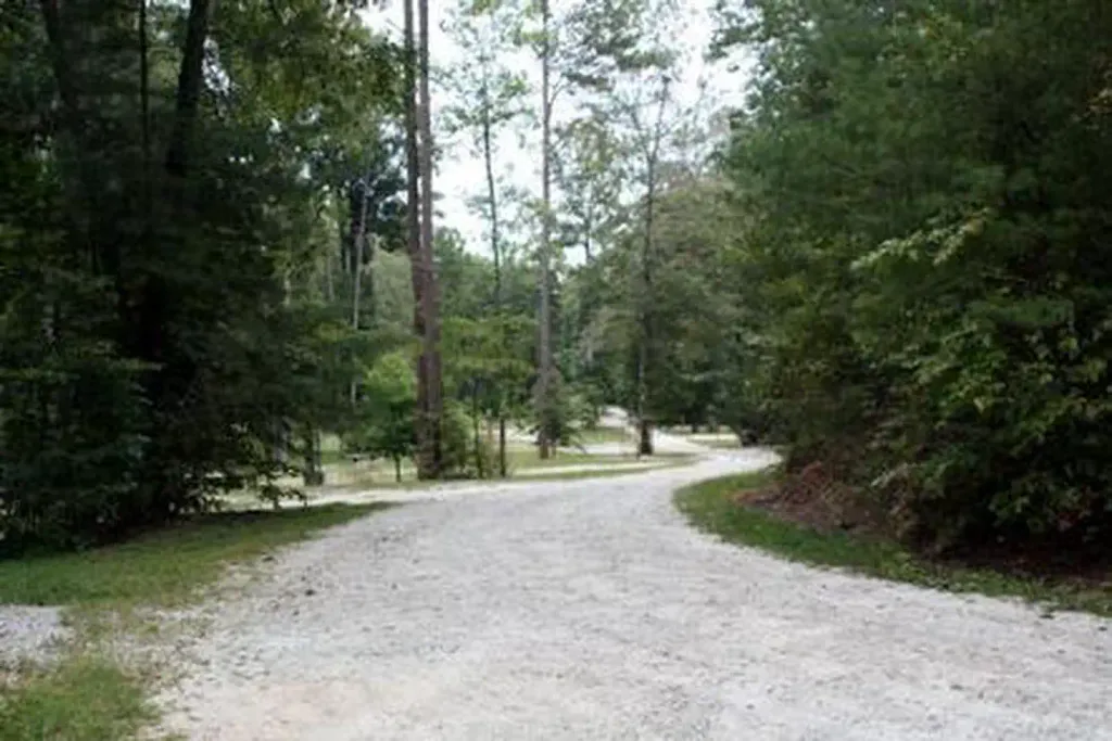 Whetstone Horse CampCampingPhoto: Recreation.gov (RIDB) / public domain4.6 mi
Source: Roamze catalog (indexable pages within 10 miles, PostGIS distance)
Best months: March–June and August–November. Best months have typical highs of 55–85 °F, lows of 30 °F or warmer (32 °F where the station doesn't record snow), at most one snowy day and no more than 12 wet days.
Jan
50° / 30°
11 wet
Feb
54° / 31°
10 wet
Mar
61° / 37°
11 wet
Apr
70° / 44°
10 wet
May
76° / 53°
11 wet
Jun
83° / 61°
12 wet
Jul
85° / 65°
13 wet
Aug
84° / 64°
12 wet
Sep
79° / 59°
10 wet
Oct
71° / 47°
9 wet
Nov
61° / 37°
9 wet
Dec
53° / 32°
11 wet
Typical high / low (°F) and days with rain or snow, 1991–2020. Measured at Clayton 1 Ssw, GA, 5.3 mi away at 1,965 ft. This station doesn't record snowfall. Source: NOAA NCEI U.S. Climate Normals 1991–2020.
Spring 2026 Forest-wide Fire Restrictions
Chattahoochee-Oconee National Forests · Order dated April 23, 2026; seen Aug 23, 2026 → lifted Oct 13, 2026 · Forest Service

