Loading…

Free — you'll pick up right here.
Watch this water
Sign up to watch it — saving subscribes you to gate, closure and report changes.
North Carolina
We won't guess. Here is exactly what we do and don't know.
What we do know
Inside National Forests in North Carolina
2 managing-area boundaries mapped — agency alerts for them feed this page automatically.
Boundary data
What's missing
No access route mapped
We don't yet know which road reaches this trailhead, so we can't tell you if it's gated.
Nobody's filed a report here yet — be the first.
Why you'll love it
Like this spot? Try:
Nantahala National Forest
AI-suggested draft · review before you go
Welcome to the Nantahala National Forest! The Nantahala National Forest lies in the mountain and valleys of southwestern North Carolina. The largest of North Carolina's four National Forests, the Nantahala encompasses 531,148 acres with elevations ranging from 5,800 feet at Lone Bald in Jackson County to 1,200 feet in Cherokee County along Hiwassee River. The Forest is divided into three Districts, Cheoah in Robbinsville, NC, Tusquitee in Murphy, NC, and the Nantahala in Franklin, NC. All district names come from the Cherokee language. "Nantahala" is a Cherokee word meaning "land of the noon day sun," a fitting name for the Nantahala Gorge, where the sun only reaches to the valley floor at midday.The Nantahala National Forest was established in 1920 under authority of the 1911 Weeks Act. This act provided authority to acquire lands for national forests to protect watersheds, to provide timber, and to regulate the flow of navigable streams. In the Nantahala National Forest, visitors enjoy a wide variety of recreational activities from whitewater rafting to camping. With over 600 miles of trails, opportunities exist for hikers, mountain bikers, horse-back riders and off-highway vehicle riders.Camping and Day-use InformationEnjoy camping or a picnic at one of the many day-use areas. A list of camping and day-use areas in the Nantahala National Forest can be found here.Recreation MapsNantahala & Pisgah National Forest MapsBe SafeThe national forests in North Carolina offer a wide variety of outdoor recreation opportunities. From the mountains to the sea, there are many exciting adventures awaiting your visit to these national forests. Please keep in mind that all outdoor recreational activities on the Croatan, Pisgah, Nantahala and Uwharrie national forests, including activities at recreation sites, have inherent risks due to the natural setting in which they occur. Always remember, your safety is your responsibility.Waterfall Safety for the Summer.
Standing Indian Campground
~20 min drive
A worthwhile stop near North Carolina.
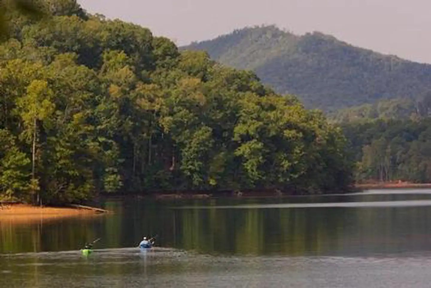
Jackrabbit Mountain
~26 min drive
A worthwhile stop near North Carolina.
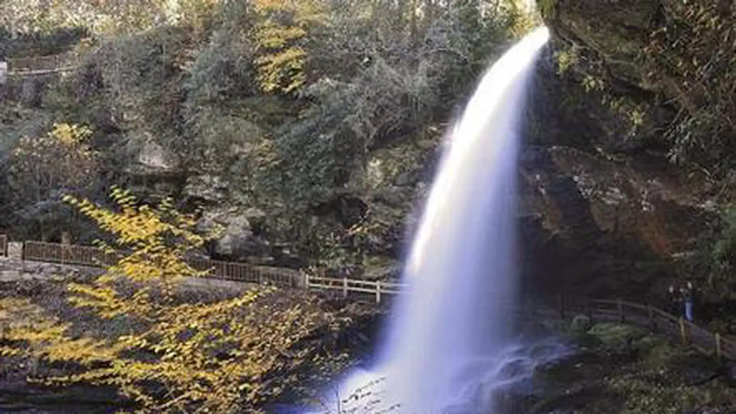
Van Hook Glade
~43 min drive
A worthwhile stop near North Carolina.
Nantahala River - Nantahala Outdoor Center
~14 min drive
Moderate
Massey Branch Area
~22 min drive
A worthwhile stop near North Carolina.
Chatuge Lake - Jackrabbit Mountain Area
~35 min drive
Easy
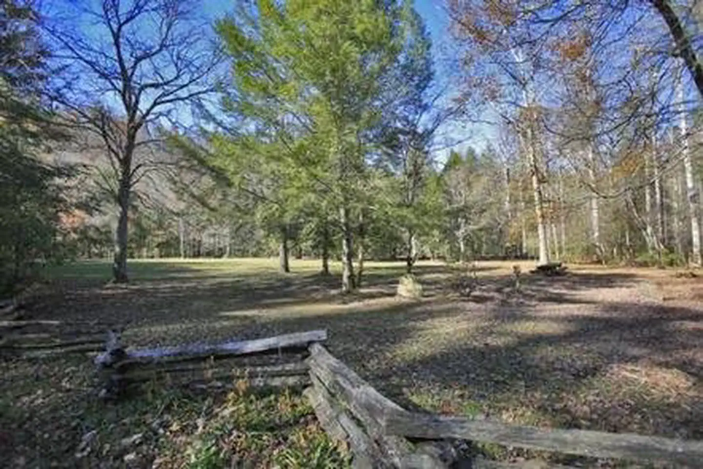
Rattler Ford Group Campground
~30 min drive
A worthwhile stop near North Carolina.
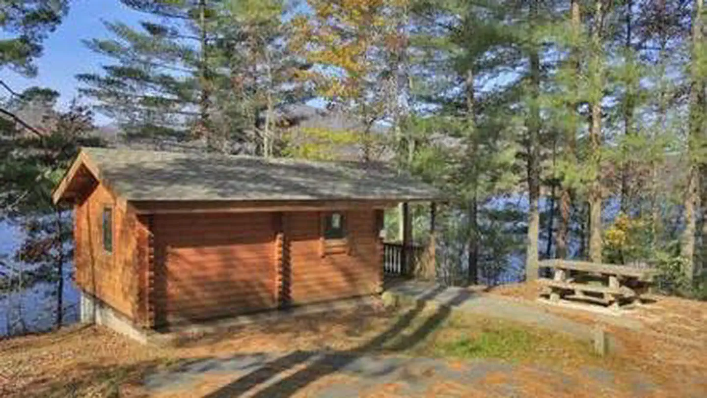
Cheoah Point Cabin 2
~33 min drive
A worthwhile stop near North Carolina.
Moore Creek Lower Lake
~16 min drive
A worthwhile stop near North Carolina.
Fontana Lake - Cable Cove Area
~31 min drive
Moderate