Jones Creek Dispersed Area
- Mar–May, Aug–Nov
- best months
Is Jones Creek Dispersed Area open right now?
Closure in the area
There's a closure order in Chattahoochee-Oconee National Forests. It doesn't name Jones Creek Dispersed Area, so check the source for the area it covers (5 listed).
West Cowpen, FS Road 17, Road Maintenance
Agency closure covering Chattahoochee-Oconee National Forests · USFS · Chattahoochee-Oconee National Forests
Bear Creek Road, FS 241, Temporarily Closed
Agency closure covering Chattahoochee-Oconee National Forests · USFS · Chattahoochee-Oconee National Forests
Prescribed fire on Oconee Ranger District at Jasper County
Agency closure covering Chattahoochee-Oconee National Forests · USFS · Chattahoochee-Oconee National Forests
Muskrat Road, FS 218, Temporarily Closed
Agency closure covering Chattahoochee-Oconee National Forests · USFS · Chattahoochee-Oconee National Forests
Flash Flood Awareness
Agency closure covering Chattahoochee-Oconee National Forests · USFS · Chattahoochee-Oconee National Forests
As of · Source: USFS · Chattahoochee-Oconee National Forests. Agencies don't list every closure — check before you go.
- At 1,933 ft
- Blue Ridge Ranger DistrictChattahoochee-Oconee National Forests
Jones Creek Dispersed Area offers 40 primitive camping sites nestled in a natural Georgia forest setting, managed by the U.S. Forest Service on a first-come, first-served basis. This dispersed campground provides an authentic backcountry experience ideal for visitors seeking solitude and access to forest recreation without the amenities of developed facilities. The area suits those interested in exploring Georgia's national forest lands, fishing, and enjoying quiet woodland camping.
Local outfitters
- North Georgia Ultimate Canopy Tours31 mi away
- Hiwassee Outfitters44 mi away
Not on Roamze yet. Their page has how to reach them.
- Ball Mountain TrailHiking0.4 mi
- Lance Creek TrailHiking0.5 mi
- Ball MountainSummit2.3 mi
 Springer MountainSummitPhoto: Mark Larson, CC BY-SA 2.0 (via Wikimedia Commons)2.6 mi
- Black FallsWaterfall3 mi
 Etowah RiverCanoeingPhoto: Thomson200, CC0 (via Wikimedia Commons)5.4 mi
 Amicalola Falls State ParkState parkPhoto: Thomsonmg2000, CC0 (via Wikimedia Commons)6 mi
- Frank GrossCamping6.5 mi
Source: Roamze catalog (indexable pages within 10 miles, PostGIS distance)
 Camp Hidden LakeCamping · ~9 min drivePhoto: Scott Long, CC BY 3.0 (via Wikimedia Commons)
 A.T. Gooch Mountain ShelterCamping · ~12 min drivePhoto: Chanilim714, CC BY-SA 3.0 (via Wikimedia Commons)
 Under the HemlockCamping · ~13 min drivePhoto: anonymouse1, CC BY-SA 3.0 (via Wikimedia Commons)
 Sharptop Cove Young Life CampCamping · ~24 min drivePhoto: Thomson M, CC BY 3.0 (via Wikimedia Commons)
 Glamp Blue RidgeCamping · ~26 min drivePhoto: Thomson20192, CC0 (via Wikimedia Commons)
 DeSoto Falls CampgroundCamping · ~26 min drivePhoto: Bas van Oorschot, CC BY-SA 3.0 (via Wikimedia Commons)
 Amicalola MountainCamping · ~7 min drivePhoto: Scott Long, CC BY 3.0 (via Wikimedia Commons)
- Nimblewill Dispersed AreaCamping · ~4 min drive
- A.T. Springer Mountain ShelterCamping · ~4 min drive
- A.T. Stover Creek ShelterCamping · ~7 min drive
Also worth it near here
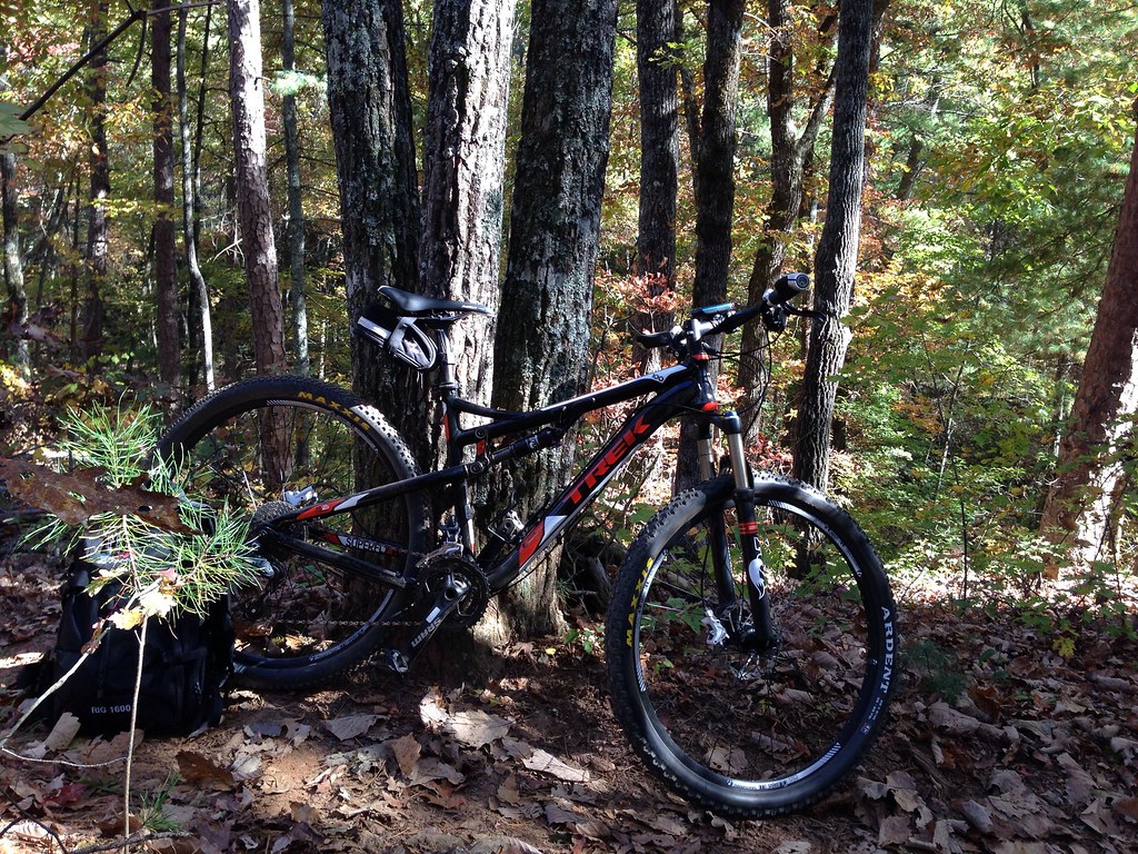
- Fdr-83 Bull Mountain CutoffMountain biking · ~1 min drive
 JAKE/BULL CONNECTOR TRAILHiking · ~3 min drivePhoto: jsnyng, CC BY 2.0 (via Flickr)
- Springer MountainSummit · ~4 min drivePhoto: Mark Larson, CC BY-SA 2.0 (via Wikimedia Commons)
- Etowah RiverCanoeing · ~9 min drivePhoto: Thomson200, CC0 (via Wikimedia Commons)
Best time to visit Jones Creek Dispersed Area
Best months: March–May and August–November. Best months have typical highs of 55–85 °F, lows of 30 °F or warmer (32 °F where the station doesn't record snow), at most one snowy day and no more than 12 wet days.
Jan
49° / 25°
12 wet
Feb
53° / 28°
12 wet
Mar
60° / 34°
12 wet
Apr
69° / 41°
11 wet
May
76° / 50°
12 wet
Jun
82° / 58°
13 wet
Jul
85° / 62°
13 wet
Aug
84° / 61°
12 wet
Sep
80° / 55°
9 wet
Oct
70° / 43°
10 wet
Nov
61° / 33°
10 wet
Dec
52° / 29°
12 wet
Typical high / low (°F) and days with rain or snow, 1991–2020. Measured at Blairsville Exp Stn, GA, 20.8 mi away at 1,949 ft. This station doesn't record snowfall. Source: NOAA NCEI U.S. Climate Normals 1991–2020.
Closures we've recorded since August 2026
Spring 2026 Forest-wide Fire Restrictions
Chattahoochee-Oconee National Forests · Order dated April 23, 2026; seen Aug 23, 2026 → lifted Oct 13, 2026 · Forest Service
