Amicalola Falls State Park
 Photo: Thomsonmg2000, CC0 (via Wikimedia Commons)
- State Department of Natural Resources
- managed by
- Mar–Nov
- best months
Is Amicalola Falls State Park open right now?
Closure in the area
There's a closure order in Chattahoochee-Oconee National Forests. It doesn't name Amicalola Falls State Park, so check the source for the area it covers (5 listed).
West Cowpen, FS Road 17, Road Maintenance
Agency closure covering Chattahoochee-Oconee National Forests · USFS · Chattahoochee-Oconee National Forests
Bear Creek Road, FS 241, Temporarily Closed
Agency closure covering Chattahoochee-Oconee National Forests · USFS · Chattahoochee-Oconee National Forests
Prescribed fire on Oconee Ranger District at Jasper County
Agency closure covering Chattahoochee-Oconee National Forests · USFS · Chattahoochee-Oconee National Forests
Muskrat Road, FS 218, Temporarily Closed
Agency closure covering Chattahoochee-Oconee National Forests · USFS · Chattahoochee-Oconee National Forests
Flash Flood Awareness
Agency closure covering Chattahoochee-Oconee National Forests · USFS · Chattahoochee-Oconee National Forests
As of · Source: USFS · Chattahoochee-Oconee National Forests. Agencies don't list every closure — check before you go.
Amicalola Falls State Park is a Georgia state park in the Blue Ridge Ranger District of the Chattahoochee-Oconee National Forests, about 11 miles from Dawsonville. It is managed by the State Department of Natural Resources and sits within the forest's national forest boundaries. For comfortable weather, aim for late spring or early fall. Typical averages from a nearby weather station run to highs around 75°F in May and 79°F in September, with October highs near 69°F. Several trails start close by, including the Creek Trail, Spring Trail and Mountain Laural Loop Trail, all within about a third of a mile. For climbing, Cochran Falls is about 2 miles away.
Park size
1,031 acres
Inside this park
Trails
Campgrounds
 Creek TrailHikingPhoto: Bas van Oorschot, CC BY-SA 3.0 (via Wikimedia Commons)0.3 mi
- Mountain Laural Loop TrailHikingPhoto: Bas van Oorschot, CC BY-SA 3.0 (via Wikimedia Commons)0.3 mi
- Spring TrailHikingPhoto: Bas van Oorschot, CC BY-SA 3.0 (via Wikimedia Commons)0.3 mi
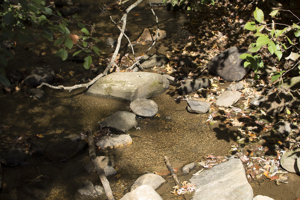 Appalachian Approach Trail - GeorgiaHikingPhoto: StephenGA, Public Domain Dedication (CC0) (via Flickr)0.4 mi
- Cochran FallsRock climbing2.1 mi
- Amicalola CreekCanoeing3.6 mi
- Tickanetley CreekCanoeing6.2 mi
 Etowah RiverCanoeingPhoto: Thomson200, CC0 (via Wikimedia Commons)9.2 mi
Source: Roamze catalog (indexable pages within 10 miles, PostGIS distance)
 Vogel State ParkState park · ~39 min drivePhoto: Thomson200, CC0 (via Wikimedia Commons)
 Unicoi State ParkState park · ~54 min drivePhoto: Thomson200, CC0 (via Wikimedia Commons)
 Fort Mountain State ParkState park · ~51 min drivePhoto: Thomson200, CC0 (via Wikimedia Commons)
- Sawnee Mountain PreserveState park · ~39 min drive
- Shady Grove ParkState park · ~46 min drive
- Smithgall Woods-Dukes Creek State ParkState park · ~51 min drive
- Don Carter State ParkState park · ~53 min drive
- Mossy Creek State ParkState park · ~56 min drive
- Scott Hudgens ParkState park · ~1h 5m drive
- Red Top Mountain State ParkState park · ~1h 7m drive
Also worth it near here
- Creek TrailHiking · Next doorPhoto: Bas van Oorschot, CC BY-SA 3.0 (via Wikimedia Commons)
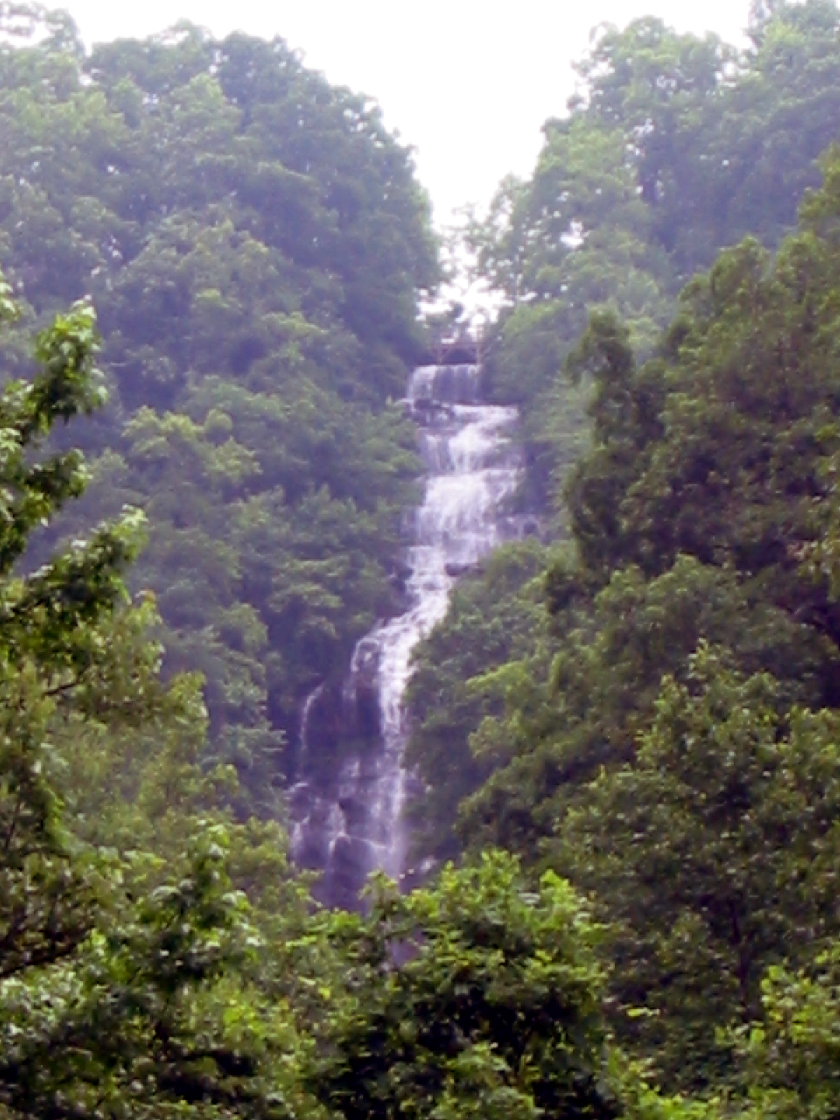 Amicalola FallsWaterfall · Next doorPhoto: Jsfouche, CC BY-SA 3.0 (via Wikimedia Commons)
 Under the HemlockCamping · ~2 min drivePhoto: anonymouse1, CC BY-SA 3.0 (via Wikimedia Commons)
- Cochran FallsRock climbing · ~4 min drive
Best time to visit Amicalola Falls State Park
Best months: March–November. Best months have typical highs of 55–85 °F, lows of 30 °F or warmer (32 °F where the station doesn't record snow), at most one snowy day and no more than 12 wet days.
Jan
48° / 31°
10 wet · 1 snow
Feb
52° / 34°
9 wet
Mar
60° / 40°
10 wet
Apr
68° / 47°
9 wet
May
75° / 55°
9 wet
Jun
82° / 63°
10 wet
Jul
85° / 67°
11 wet
Aug
84° / 66°
9 wet
Sep
79° / 61°
8 wet
Oct
69° / 50°
8 wet
Nov
59° / 40°
8 wet
Dec
51° / 35°
10 wet
Typical high / low (°F) and days with rain or snow, 1991–2020. Measured at Jasper 1 Nnw, GA, 12.9 mi away at 1,465 ft. We don't have this place's elevation, so higher spots nearby can run cooler. Source: NOAA NCEI U.S. Climate Normals 1991–2020.
Closures we've recorded since August 2026
Spring 2026 Forest-wide Fire Restrictions
Chattahoochee-Oconee National Forests · Order dated April 23, 2026; seen Aug 23, 2026 → lifted Oct 13, 2026 · Forest Service
