YMCA Camp Mountain Laurel
Campground
Campground · 3.8 mi from the trail
 Photo: bellemarematt, CC BY-SA 2.0 (via Flickr)
Tibby's Trail is a short, easy hike in Connecticut, about 1.6 miles from the town of Straitsville. The route is 0.57 miles long, with a one-way elevation gain of 60 feet, and it is rated easy. The trail is a point-to-point route, and the steepest part comes early, at about 0.16 miles in, with a 7% grade. The climb is gentle overall, and the high point reaches about 439 feet. For comfortable weather, late spring and early fall are the best bets. Typical averages from a nearby weather station in Mt Carmel show May highs around 71°F and September highs around 76°F, with July the warmest month at about 85°F. Several other trails sit close by. White Birches Trail and Grobe Green Gadabout Trail are each about 0.2 miles away, and Beaver Trail is about 0.4 miles off. For climbing, CT Bouldering is about 3.1 miles away.
YMCA Camp Mountain Laurel
Campground
 If it rainsMConradWard, CC0 · Wikimedia Commons
Meriden Historical Society Museum & History Center
Museum
Places © OpenStreetMap contributors · Photos: MConradWard, CC0 (commons)
More in MiddletownBest months: April–October. Best months have typical highs of 55–85 °F, lows of 30 °F or warmer (32 °F where the station doesn't record snow), at most one snowy day and no more than 12 wet days.
Jan
38° / 20°
10 wet
Feb
41° / 22°
9 wet
Mar
48° / 28°
11 wet
Apr
60° / 38°
12 wet
May
71° / 48°
11 wet
Jun
79° / 58°
10 wet
Jul
85° / 64°
10 wet
Aug
84° / 62°
9 wet
Sep
76° / 55°
9 wet
Oct
64° / 43°
9 wet
Nov
52° / 34°
9 wet
Dec
42° / 26°
11 wet
Typical high / low (°F) and days with rain or snow, 1991–2020. Measured at Mt Carmel, CT, 6.8 mi away at 180 ft. This station doesn't record snowfall. Source: NOAA NCEI U.S. Climate Normals 1991–2020.
Photo: bellemarematt, CC BY-SA 2.0 (via Flickr)White Birches Trail
Next door
0.48-mile point-to-point trail in Connecticut with 135 ft gain.
 Photo: Morrowlong, CC BY-SA 3.0 (via Wikimedia Commons)
Naugatuck Trail
Next door
5.25-mile point-to-point trail in Connecticut with 840 ft gain and 1,295 ft loss.
 Photo: bellemarematt, CC BY-SA 2.0 (via Flickr)
Mission 22 Trail
~5 min drive
Challenging 13.79-mile point-to-point trail across Connecticut.
 Photo: Morrowlong, CC BY-SA 3.0 (via Wikimedia Commons)
Woodward Trail
Next door
0.81-mile point-to-point trail in Connecticut with 62 ft gain.
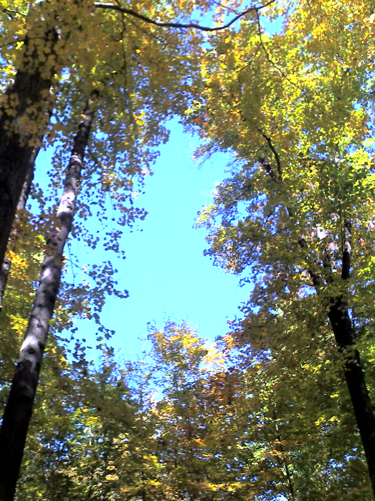 Photo: Aldon, CC BY-SA 2.0 (via Flickr)
Quinnipiac Trail
~7 min drive
A 19.6-mile point-to-point trail following Connecticut's Quinnipiac River valley.
Photo: Morrowlong, CC BY-SA 3.0 (via Wikimedia Commons)Beaver Trail
Next door
0.59-mile point-to-point trail in Connecticut with 154 ft gain.
Photo: bellemarematt, CC BY-SA 2.0 (via Flickr)Northrop Road Trail
Next door
Northrop Road Trail is a 0.50-mile point-to-point trail in Connecticut.
Photo: Morrowlong, CC BY-SA 3.0 (via Wikimedia Commons)Van Epps Trail
Next door
Van Epps Trail is a 0.41-mile point-to-point trail in Connecticut.
Photo: Morrowlong, CC BY-SA 3.0 (via Wikimedia Commons)Whittemore Trail
~1 min drive
Whittemore Trail is a 0.72-mile point-to-point trail in Connecticut.
Photo: Morrowlong, CC BY-SA 3.0 (via Wikimedia Commons)Beacon Cap Trail
~2 min drive
0.31-mile point-to-point trail in Connecticut with 174 ft gain.
Map and trail data © OpenStreetMap contributors

