YMCA Camp Mountain Laurel
Campground
Campground · 3.0 mi from the trail
 Photo: Morrowlong, CC BY-SA 3.0 (via Wikimedia Commons)
Beacon Cap Trail is a short, easy hike in Connecticut, about 1.5 miles from Bethany Wood. The route is a point-to-point trail of roughly 0.3 miles, with a low point of 669 feet and a high of 772 feet. The climb is gentle, with a total gain of 91 feet and a steepest stretch of about 9% at around 0.2 miles in. Late spring and early fall are the most comfortable times to go. Typical averages from a nearby weather station at Mt Carmel show May highs around 71°F and September highs around 76°F, while July averages about 85°F. That station sits well below the trail, so temperatures on the higher ground run cooler. The hike takes about half an hour. The Whittemore Trail is 0.7 miles away, and the Naugatuck Trail and Van Epps Trail are each about a mile off. For climbing, CT Bouldering is about 2 miles away.
YMCA Camp Mountain Laurel
Campground
 If it rainsMConradWard, CC0 · Wikimedia Commons
Meriden Historical Society Museum & History Center
Museum
Places © OpenStreetMap contributors · Photos: MConradWard, CC0 (commons)
More in MiddletownBest months: April–October. Best months have typical highs of 55–85 °F, lows of 30 °F or warmer (32 °F where the station doesn't record snow), at most one snowy day and no more than 12 wet days.
Jan
38° / 20°
10 wet
Feb
41° / 22°
9 wet
Mar
48° / 28°
11 wet
Apr
60° / 38°
12 wet
May
71° / 48°
11 wet
Jun
79° / 58°
10 wet
Jul
85° / 64°
10 wet
Aug
84° / 62°
9 wet
Sep
76° / 55°
9 wet
Oct
64° / 43°
9 wet
Nov
52° / 34°
9 wet
Dec
42° / 26°
11 wet
Typical high / low (°F) and days with rain or snow, 1991–2020. Measured at Mt Carmel, CT, 6.4 mi away at 180 ft. The station sits about 600 ft lower than this place, so expect it a little cooler here. This station doesn't record snowfall. Source: NOAA NCEI U.S. Climate Normals 1991–2020.
 Photo: Morrowlong, CC BY-SA 3.0 (via Wikimedia Commons)
Whittemore Trail
~1 min drive
Whittemore Trail is a 0.72-mile point-to-point trail in Connecticut.
Photo: Morrowlong, CC BY-SA 3.0 (via Wikimedia Commons)Naugatuck Trail
~2 min drive
5.25-mile point-to-point trail in Connecticut with 840 ft gain and 1,295 ft loss.
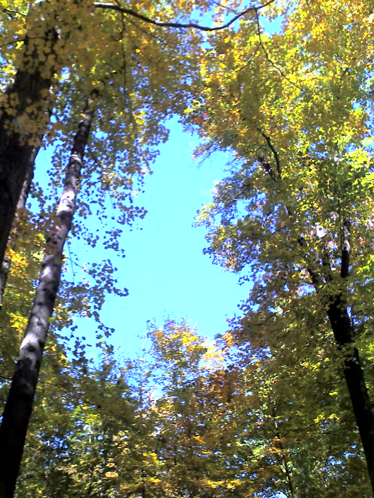 Photo: Aldon, CC BY-SA 2.0 (via Flickr)
Quinnipiac Trail
~5 min drive
A 19.6-mile point-to-point trail following Connecticut's Quinnipiac River valley.
Photo: Morrowlong, CC BY-SA 3.0 (via Wikimedia Commons)Van Epps Trail
~2 min drive
Van Epps Trail is a 0.41-mile point-to-point trail in Connecticut.
 Photo: bellemarematt, CC BY-SA 2.0 (via Flickr)
Mission 22 Trail
~6 min drive
Challenging 13.79-mile point-to-point trail across Connecticut.
 Photo: bellemarematt, CC BY-SA 2.0 (via Flickr)
Tibby's Trail
~2 min drive
0.57-mile point-to-point trail in Connecticut with 230 ft gain.
Photo: bellemarematt, CC BY-SA 2.0 (via Flickr)Northrop Road Trail
~2 min drive
Northrop Road Trail is a 0.50-mile point-to-point trail in Connecticut.
Photo: bellemarematt, CC BY-SA 2.0 (via Flickr)White Birches Trail
~2 min drive
0.48-mile point-to-point trail in Connecticut with 135 ft gain.
Photo: Morrowlong, CC BY-SA 3.0 (via Wikimedia Commons)Woodward Trail
~2 min drive
0.81-mile point-to-point trail in Connecticut with 62 ft gain.
Photo: Morrowlong, CC BY-SA 3.0 (via Wikimedia Commons)Beaver Trail
~2 min drive
0.59-mile point-to-point trail in Connecticut with 154 ft gain.
About 0.3 mi.
About 91 ft of climbing round trip.
It is rated easy.
About 0 hours round trip.
Daily highs and lows, wind and the chance of precipitation at the summit and route start for the next 7 days, from the Open-Meteo model.
Map and trail data © OpenStreetMap contributors


