Camp Neipsic
Campground
Campground · 5.2 mi from the trail
South Meadows River Trail is an easy, 3.5-mile point-to-point hike in Connecticut, about a mile from Wethersfield. The trail is a low-elevation outing, with a total climb of only about 30 feet, and it runs close to the town, making it a straightforward addition to a day spent exploring the area around Wethersfield. The route is a gentle walk with no significant climbs. The highest point on the trail reaches about 48 feet, and the steepest stretch comes around the 1.3-mile mark, with a grade of about 8 percent. Bikes are allowed, and dogs must be leashed. Late spring and early fall are the most comfortable times to go. Typical averages from a nearby weather station in Hartford put May highs around 71°F and September highs around 76°F, with July the warmest month at about 85°F. Nearby, the Lincoln Sculpture Walk and Riverview Trail both lie within about 4 miles, and Dinosaur State Park's Purple Trail is roughly 5 miles away. Climbers can find the 980 Chestnut Hill Road area about 5 miles off.
Camp Neipsic
Campground
 If it rainsSveaA, CC BY-SA 3.0 · Wikimedia Commons
Places © OpenStreetMap contributors, Places © Overture Maps Foundation · Photos: SveaA, CC BY-SA 3.0 (commons)
More in MiddletownSource: Roamze catalog (indexable pages within 10 miles, PostGIS distance)
 Metacomet Trail (NET)Hiking · ~15 min drivePhoto: Ragesoss, CC BY-SA 3.0 (via Wikimedia Commons)
 Kenney RidgeHiking · ~15 min drivePhoto: christinejwarner, CC BY 2.0 (via Flickr)
 Gay City TrailHiking · ~15 min drivePhoto: Morrowlong, CC BY-SA 4.0 (via Wikimedia Commons)
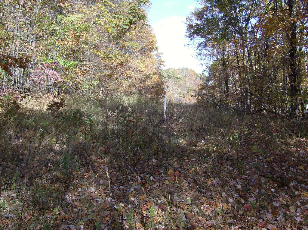 Auer Farm Connector TrailHiking · ~16 min drivePhoto: David_Morris, CC BY 2.0 (via Flickr)
 Pond Loop TrailHiking · ~17 min drivePhoto: AndyS_Photography, CC BY 2.0 (via Flickr)Connector TrailHiking · ~17 min drivePhoto: Morrowlong, CC BY-SA 4.0 (via Wikimedia Commons)Gay City/Blackledge Falls ConnectorHiking · ~17 min drivePhoto: Morrowlong, CC BY-SA 4.0 (via Wikimedia Commons)
 Talcott Mt Bypass TrailHiking · ~17 min drivePhoto: David_Morris, CC BY 2.0 (via Flickr)
 Yellow TrailHiking · ~17 min drivePhoto: ragesoss, CC BY-SA 2.0 (via Flickr)
Best months: April–October. Best months have typical highs of 55–85 °F, lows of 30 °F or warmer (32 °F where the station doesn't record snow), at most one snowy day and no more than 12 wet days.
Jan
37° / 20°
10 wet
Feb
39° / 22°
9 wet
Mar
48° / 30°
11 wet
Apr
60° / 40°
11 wet
May
71° / 50°
12 wet
Jun
80° / 60°
11 wet
Jul
85° / 66°
11 wet
Aug
83° / 64°
10 wet
Sep
76° / 56°
10 wet
Oct
64° / 44°
11 wet
Nov
52° / 35°
10 wet
Dec
42° / 26°
11 wet
Typical high / low (°F) and days with rain or snow, 1991–2020. Measured at Hartford Brainard Fld, CT, 1.4 mi away at 19 ft. This station doesn't record snowfall. Source: NOAA NCEI U.S. Climate Normals 1991–2020.
Map and trail data © OpenStreetMap contributors
