Bear Creek Campground
Campground
Campground · 9.7 mi from the trail
 Photo: Ragesoss, CC BY-SA 3.0 (via Wikimedia Commons)
The Metacomet Trail (NET) is an easy out-and-back hike on Regional Agency Land in Connecticut, about 1.4 miles long and with a round-trip elevation gain of about 650 feet. The climb is steady, and the steepest stretch comes at about 0.55 miles in, with a grade of around 11 percent. The route starts at an elevation of about 484 feet and reaches a high point of roughly 519 feet before descending back to the starting level. The trip takes about 1.5 hours to complete. For timing, late spring and early fall are the most comfortable. Typical averages from a nearby weather station in Burlington put May highs around 70°F and September highs around 75°F, with July peaking near 84°F. Kenney Ridge is just 0.2 miles away, and the Henry Mason Trail and Clatter Valley Road Trail are within about 1.6 miles. Climbers can find Porcupine Wall about 4.2 miles off.
Bear Creek Campground
Campground
Refreshing428llc
Korean restaurant
 If it rainsDaderot, CC BY-SA 3.0 · Wikimedia Commons
Places © OpenStreetMap contributors, Places © Overture Maps Foundation · Photos: Daderot, CC BY-SA 3.0 (commons)
More in Middletown Kenney RidgeHikingPhoto: christinejwarner, CC BY 2.0 (via Flickr)0.2 mi
Source: Roamze catalog (indexable pages within 10 miles, PostGIS distance)
Kenney RidgeHiking · Next doorPhoto: christinejwarner, CC BY 2.0 (via Flickr)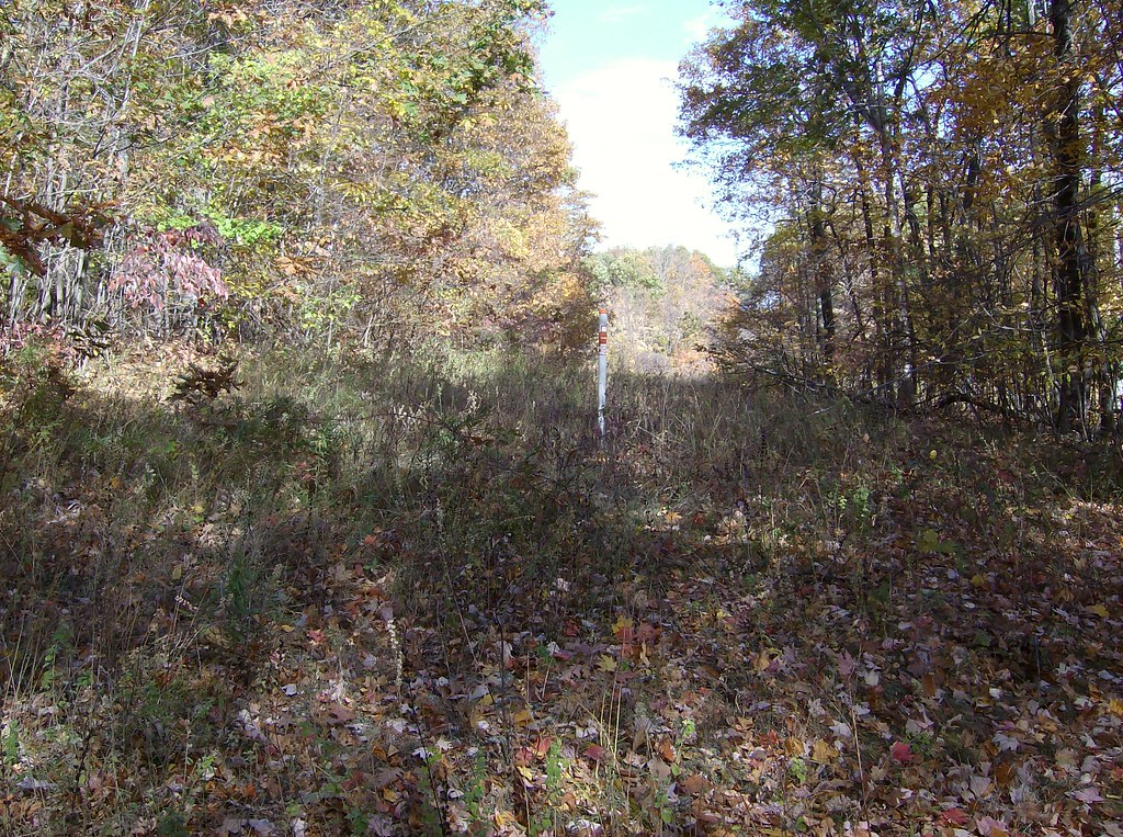 White TrailHiking · ~9 min drivePhoto: David_Morris, CC BY 2.0 (via Flickr)
 Talcott Mt Bypass TrailHiking · ~7 min drivePhoto: David_Morris, CC BY 2.0 (via Flickr)Auer Farm Connector TrailHiking · ~7 min drivePhoto: David_Morris, CC BY 2.0 (via Flickr)
 Yellow TrailHiking · ~8 min drivePhoto: ragesoss, CC BY-SA 2.0 (via Flickr)
 Blue TrailHiking · ~11 min drivePhoto: Sage Ross, CC BY-SA 3.0 (via Wikimedia Commons)
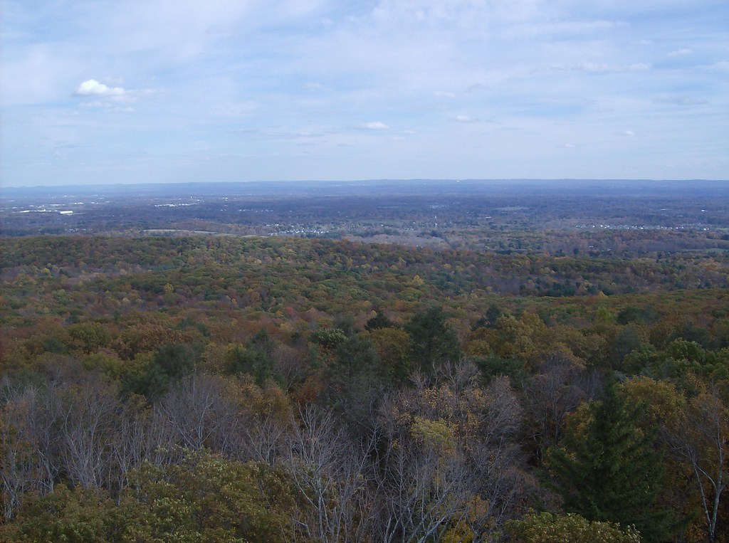 Green TrailHiking · ~11 min drivePhoto: David_Morris, CC BY 2.0 (via Flickr)Orange TrailHiking · ~11 min drivePhoto: Sage Ross, CC BY-SA 3.0 (via Wikimedia Commons)
 Red TrailHiking · ~11 min drivePhoto: Sage Ross, CC BY-SA 3.0 (via Wikimedia Commons)
Also worth it near here
 Farmington MountainSummit · ~6 min drivePhoto: Original uploader was 5ju989nfhs50 at en.wikipedia, CC BY 3.0 (via Wikimedia Commons)
 Central ValleyRock climbing · ~8 min drivePhoto: Ragesoss, CC BY-SA 3.0 (via Wikimedia Commons)
Best months: April–October. Best months have typical highs of 55–85 °F, lows of 30 °F or warmer (32 °F where the station doesn't record snow), at most one snowy day and no more than 12 wet days.
Jan
36° / 17°
10 wet · 4 snow
Feb
39° / 18°
9 wet · 3 snow
Mar
47° / 26°
10 wet · 2 snow
Apr
59° / 36°
11 wet
May
70° / 47°
12 wet
Jun
78° / 57°
11 wet
Jul
84° / 62°
11 wet
Aug
82° / 60°
10 wet
Sep
75° / 53°
9 wet
Oct
63° / 41°
10 wet
Nov
52° / 32°
9 wet
Dec
41° / 24°
11 wet · 2 snow
Typical high / low (°F) and days with rain or snow, 1991–2020. Measured at Burlington, CT, 7.6 mi away at 505 ft. Source: NOAA NCEI U.S. Climate Normals 1991–2020.
Map and trail data © OpenStreetMap contributors
