Bear Creek Campground
Campground
Campground · 5.1 mi from the trail
Red Trail is a short, easy hike in Connecticut, about 1.2 miles from the town of Whigville. The route is 0.4 miles long, with a total elevation gain of 11 feet, and it is rated easy. The trail is flat for most of the way, with the steepest stretch at about 0.05 miles in, where the grade reaches 3 percent. Late spring and early fall are the most comfortable times to go. Typical averages from a nearby weather station in Burlington show May highs around 70°F and September highs around 75°F, while July averages about 84°F and January highs sit near 36°F. Horses are not allowed on this trail. The Wallace Barnes Accessible Nature Trail starts just 0.1 miles away, and the Purple Trail and White Trail are each about 0.2 miles off. Climbers can find Petro Cliffs roughly 2.8 miles away.
Bear Creek Campground
Campground
Friendly's
Restaurant
 If it rainsJohn Phelan, CC BY-SA 3.0 · Wikimedia Commons
Horology museum in Connecticut, United States
Places © OpenStreetMap contributors · Photos: John Phelan, CC BY-SA 3.0 (commons)
More in MiddletownBest months: April–October. Best months have typical highs of 55–85 °F, lows of 30 °F or warmer (32 °F where the station doesn't record snow), at most one snowy day and no more than 12 wet days.
Jan
36° / 17°
10 wet · 4 snow
Feb
39° / 18°
9 wet · 3 snow
Mar
47° / 26°
10 wet · 2 snow
Apr
59° / 36°
11 wet
May
70° / 47°
12 wet
Jun
78° / 57°
11 wet
Jul
84° / 62°
11 wet
Aug
82° / 60°
10 wet
Sep
75° / 53°
9 wet
Oct
63° / 41°
10 wet
Nov
52° / 32°
9 wet
Dec
41° / 24°
11 wet · 2 snow
Typical high / low (°F) and days with rain or snow, 1991–2020. Measured at Burlington, CT, 5.4 mi away at 505 ft. Source: NOAA NCEI U.S. Climate Normals 1991–2020.
 Photo: Morrowlong, CC BY-SA 4.0 (via Wikimedia Commons)
Purple Trail
Next door
A short point-to-point trail ideal for quick Connecticut hikes.
HIKE
Blue-Yellow Trail
~5 min drive
8.78-mile point-to-point Connecticut trail through woodland terrain.
Photo: Morrowlong, CC BY-SA 4.0 (via Wikimedia Commons)White Trail
Next door
White Trail is a 0.46-mile point-to-point trail in Connecticut with 23 ft of elevation gain.
Photo: Morrowlong, CC BY-SA 4.0 (via Wikimedia Commons)Nature Center
~1 min drive
2.52-mile point-to-point trail in Connecticut with 489 ft gain and 526 ft loss.
 Photo: pedrik, CC BY 2.0 (via Flickr)
Tree Identification Trail
~3 min drive
0.48-mile point-to-point trail in Connecticut with 29 ft gain.
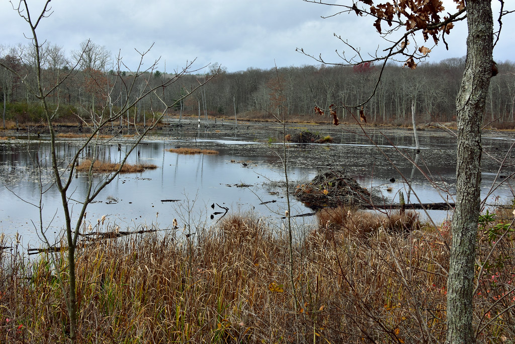 Photo: pedrik, CC BY 2.0 (via Flickr)
Crosscut Trail
~3 min drive
Brief point-to-point connector trail through Connecticut forest.
 Photo: TrevorBrightman, CC BY 3.0 (via Wikimedia Commons)
Blue-Orange Trail
~3 min drive
3.08-mile point-to-point trail in Connecticut with 438 ft elevation gain
 Photo: TrevorBrightman, CC BY 3.0 (via Wikimedia Commons)
Tunxis Blue-Red South Trail
~4 min drive
1.10-mile point-to-point trail in Connecticut with 142 ft gain.
Photo: TrevorBrightman, CC BY 3.0 (via Wikimedia Commons)Blue-Green Trail
~4 min drive
0.63-mile point-to-point trail in Connecticut with 67 ft gain and 125 ft loss.
Photo: TrevorBrightman, CC BY 3.0 (via Wikimedia Commons)Yellow Diamond Trail
~5 min drive
2.35-mile point-to-point trail in Connecticut with 485 ft elevation gain
Map and trail data © OpenStreetMap contributors

