Youth Camp I
Campground
Campground · 4.1 mi from the trail
The Ives Trail Greenway is a 14.3-mile point-to-point hike in Tarrywile Park in Connecticut, with a total elevation gain of 2,341 feet. The route starts at about 573 feet and climbs to a high point of 1,012 feet before descending to a low of 391 feet. The steepest stretch comes at about 3.1 miles in, where the grade reaches 28 percent. Late spring and early fall are the most comfortable times to go. Typical averages from a nearby weather station in Danbury show May highs around 69°F and September highs around 74°F, with July the warmest month at about 82°F. That station sits roughly 555 feet lower than the trail's high point, so temperatures on the higher ground run cooler. The hike takes about six hours. The Ives Trail Greenway Alternative lies just 0.4 miles away, and Eureka Lake Path and the Ives route are each about 0.9 miles off. Paddlers can reach the Still River about 1.9 miles away.
Youth Camp I
Campground
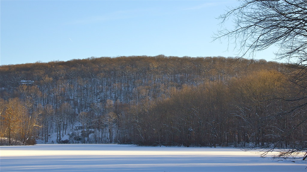
 If it rainsDaniel Case, CC BY-SA 3.0 · Wikimedia Commons
Places © OpenStreetMap contributors · Photos: Daniel Case, CC BY-SA 3.0 (commons)
More in Mount KiscoDaily highs and lows, wind and the chance of precipitation at the summit and route start for the next 7 days, from the Open-Meteo model.
 Still RiverCanoeingPhoto: Pedro Xing, CC0 (via Wikimedia Commons)1.9 mi
Source: Roamze catalog (indexable pages within 10 miles, PostGIS distance)
 Knapp TrailHiking · ~6 min drivePhoto: daveclausen, CC BY 2.0 (via Flickr)
 Pierrepont Park TrailHiking · ~8 min drivePhoto: Chrisbkes, CC BY 2.0 (via Flickr)
 Baldy Ridge TrailHiking · ~7 min drivePhoto: muz4now, CC BY 2.0 (via Flickr)Pond TrailHiking · ~9 min drivePhoto: muz4now, CC BY 2.0 (via Flickr)
 Ridegfield High School Cross Country TrailHiking · ~9 min drivePhoto: Chrisbkes, CC BY 2.0 (via Flickr)
 The Jones TrailHiking · ~10 min drivePhoto: Laxworld123, CC BY-SA 3.0 (via Wikimedia Commons)
Best months: April. Best months have typical highs of 55–85 °F, lows of 30 °F or warmer (32 °F where the station doesn't record snow), at most one snowy day and no more than 12 wet days.
Jan
36° / 18°
11 wet
Feb
39° / 20°
10 wet
Mar
47° / 27°
11 wet
Apr
59° / 37°
12 wet
May
69° / 46°
14 wet
Jun
78° / 56°
13 wet
Jul
82° / 62°
13 wet
Aug
80° / 60°
14 wet
Sep
74° / 52°
14 wet
Oct
62° / 41°
13 wet
Nov
51° / 31°
11 wet
Dec
41° / 24°
12 wet
Typical high / low (°F) and days with rain or snow, 1991–2020. Measured at Danbury Muni Ap, CT, 1.7 mi away at 457 ft. The station sits about 600 ft lower than this place, so expect it a little cooler here. This station doesn't record snowfall. Source: NOAA NCEI U.S. Climate Normals 1991–2020.
About 14.3 mi.
About 2,341 ft of climbing round trip.
It is rated moderate.
About 5.5 hours round trip.
Map and trail data © OpenStreetMap contributors
