Youth Camp I
Campground
Campground · 6.2 mi from the trail
 Photo: daveclausen, CC BY 2.0 (via Flickr)
Knapp Trail is a short, easy hike in Connecticut, about 0.7 miles from the community of Wataba Lake. The trail is 0.85 miles long, and the one-way climb is about 131 feet, with the steepest stretch at roughly 0.27 miles in. Late spring and early fall are the most comfortable times to go. Typical averages from a nearby weather station in Danbury show May highs around 69°F and September highs around 74°F, with July the warmest month at about 82°F. Several other trails sit within a short drive. Ridegfield High School Cross Country Trail and Pierrepont Park Trail are each about 1.4 miles away, and East Starrs Plain Road White Trail is about 2.3 miles off. Climbers can head to Mountain Lakes, about 3.1 miles away.
Youth Camp I
Campground
 If it rainsRobacols, CC BY-SA 3.0 · Wikimedia Commons
Places © OpenStreetMap contributors · Photos: Robacols, CC BY-SA 3.0 (commons)
More in Mount KiscoNot on Roamze yet. Their page has how to reach them.
Best months: April. Best months have typical highs of 55–85 °F, lows of 30 °F or warmer (32 °F where the station doesn't record snow), at most one snowy day and no more than 12 wet days.
Jan
36° / 18°
11 wet
Feb
39° / 20°
10 wet
Mar
47° / 27°
11 wet
Apr
59° / 37°
12 wet
May
69° / 46°
14 wet
Jun
78° / 56°
13 wet
Jul
82° / 62°
13 wet
Aug
80° / 60°
14 wet
Sep
74° / 52°
14 wet
Oct
62° / 41°
13 wet
Nov
51° / 31°
11 wet
Dec
41° / 24°
12 wet
Typical high / low (°F) and days with rain or snow, 1991–2020. Measured at Danbury Muni Ap, CT, 2.4 mi away at 457 ft. This station doesn't record snowfall. Source: NOAA NCEI U.S. Climate Normals 1991–2020.
 Photo: Chrisbkes, CC BY 2.0 (via Flickr)
Ridegfield High School Cross Country Trail
~2 min drive
1.59-mile cross country loop with 242 ft elevation gain in Connecticut
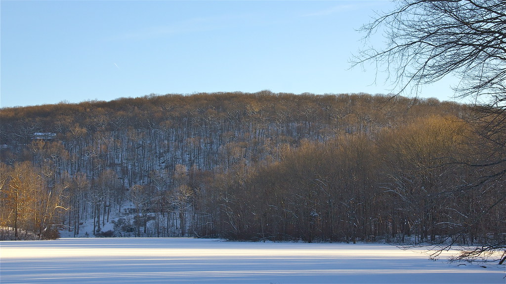 Photo: Chrisbkes, CC BY 2.0 (via Flickr)
Pierrepont Park Trail
~2 min drive
3.37-mile out-and-back hike in Pierrepont Park, Connecticut with 845 ft gain.
 Photo: usf1fan2, CC BY 2.0 (via Flickr)
Yellow Trail
~7 min drive
0.32-mile out-and-back hike on Yellow Trail in New York with 132 ft of elevation gain.
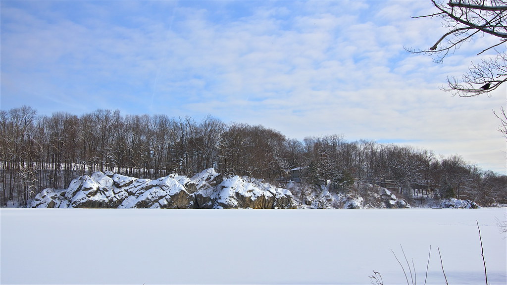 Photo: Chrisbkes, CC BY 2.0 (via Flickr)
Old Sib Preserve Loop
~4 min drive
0.70-mile point-to-point trail in Connecticut with 216 ft gain
 Photo: Chrisbkes, CC BY 2.0 (via Flickr)
White Trail
~7 min drive
Easy 1.33-mile point-to-point trail in New York.
Photo: Chrisbkes, CC BY 2.0 (via Flickr)Yellow Trail
~5 min drive
1.36-mile point-to-point trail in New York with 273 ft gain
Photo: usf1fan2, CC BY 2.0 (via Flickr)White Trail
~7 min drive
Easy 1-mile out-and-back walk through New York woodlands.
Photo: Chrisbkes, CC BY 2.0 (via Flickr)Blue Trail
~5 min drive
1.92-mile loop trail in New York with 472 ft elevation gain.
HIKE
Ives Trail Greenway
~6 min drive
A 13.37-mile point-to-point greenway trail across Connecticut.
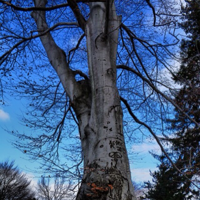 Photo: Mílton Jung, CC BY 2.0 (via Flickr)
Casey Lane Trail
~5 min drive
0.35-mile point-to-point trail in Connecticut with 44 ft gain.
Map and trail data © OpenStreetMap contributors
