Bear Creek Campground
Campground
Campground · 9.1 mi from the trail
The Henry Mason Trail is a short, easy hike in Connecticut, about a mile long and rising just 29 feet from its low point of 150 feet to a high of 186 feet. The route is a point-to-point walk, and the steepest stretch comes at about half a mile in, where the grade reaches 9 percent. The nearest town is Oakland Gardens, about 2 miles away. The trail is a quick outing, and its low elevation and gentle climb make it a natural fit for a short stop before or after exploring the surrounding area. Late spring and early fall are the most comfortable times to go. Typical averages from a nearby weather station in Burlington show May highs around 70°F and September highs around 75°F, with July the warmest month at about 84°F. Several other trails sit close by. Kenney Ridge is about a mile away, the Metacomet Trail (NET) is about 1.3 miles off, and the Clatter Valley Road Trail is about 1.4 miles away. Climbers can find Porcupine Wall roughly 4 miles from the trail.
Bear Creek Campground
Campground
 If it rainsDaderot, CC BY-SA 3.0 · Wikimedia Commons
Places © OpenStreetMap contributors, Places © Overture Maps Foundation · Photos: Daderot, CC BY-SA 3.0 (commons)
More in Middletown Kenney RidgeHikingPhoto: christinejwarner, CC BY 2.0 (via Flickr)1.1 mi
 Metacomet Trail (NET)HikingPhoto: Ragesoss, CC BY-SA 3.0 (via Wikimedia Commons)1.3 mi
Source: Roamze catalog (indexable pages within 10 miles, PostGIS distance)
Kenney RidgeHiking · ~2 min drivePhoto: christinejwarner, CC BY 2.0 (via Flickr)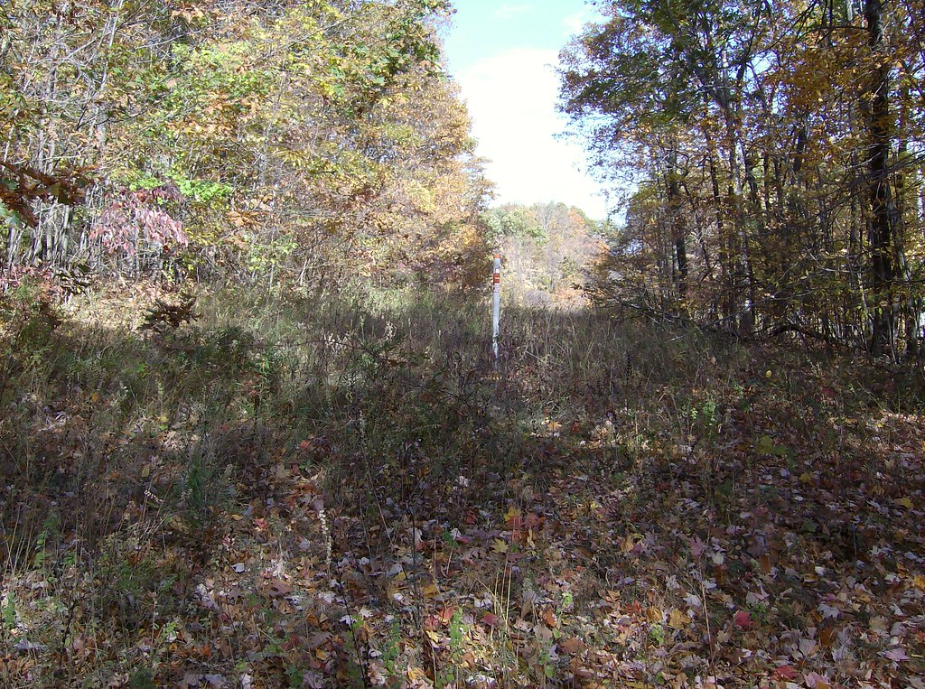 White TrailHiking · ~9 min drivePhoto: David_Morris, CC BY 2.0 (via Flickr)Metacomet Trail (NET)Hiking · ~2 min drivePhoto: Ragesoss, CC BY-SA 3.0 (via Wikimedia Commons)
 Talcott Mt Bypass TrailHiking · ~8 min drivePhoto: David_Morris, CC BY 2.0 (via Flickr)
 Yellow TrailHiking · ~8 min drivePhoto: ragesoss, CC BY-SA 2.0 (via Flickr)Auer Farm Connector TrailHiking · ~8 min drivePhoto: David_Morris, CC BY 2.0 (via Flickr)
 Blue TrailHiking · ~9 min drivePhoto: Sage Ross, CC BY-SA 3.0 (via Wikimedia Commons)Orange TrailHiking · ~9 min drivePhoto: Sage Ross, CC BY-SA 3.0 (via Wikimedia Commons)
 Red TrailHiking · ~9 min drivePhoto: Sage Ross, CC BY-SA 3.0 (via Wikimedia Commons)
 Fiske H. Ventres Bird TrailHiking · ~9 min drivePhoto: pedrik, CC BY-SA 2.0 (via Flickr)
Also worth it near here
 Farmington MountainSummit · ~6 min drivePhoto: Original uploader was 5ju989nfhs50 at en.wikipedia, CC BY 3.0 (via Wikimedia Commons)
 Central ValleyRock climbing · ~8 min drivePhoto: Ragesoss, CC BY-SA 3.0 (via Wikimedia Commons)
Best months: April–October. Best months have typical highs of 55–85 °F, lows of 30 °F or warmer (32 °F where the station doesn't record snow), at most one snowy day and no more than 12 wet days.
Jan
36° / 17°
10 wet · 4 snow
Feb
39° / 18°
9 wet · 3 snow
Mar
47° / 26°
10 wet · 2 snow
Apr
59° / 36°
11 wet
May
70° / 47°
12 wet
Jun
78° / 57°
11 wet
Jul
84° / 62°
11 wet
Aug
82° / 60°
10 wet
Sep
75° / 53°
9 wet
Oct
63° / 41°
10 wet
Nov
52° / 32°
9 wet
Dec
41° / 24°
11 wet · 2 snow
Typical high / low (°F) and days with rain or snow, 1991–2020. Measured at Burlington, CT, 6.4 mi away at 505 ft. Source: NOAA NCEI U.S. Climate Normals 1991–2020.
Map and trail data © OpenStreetMap contributors
