Witcher Cove Campground
Campground
Campground · 5.9 mi from the trail
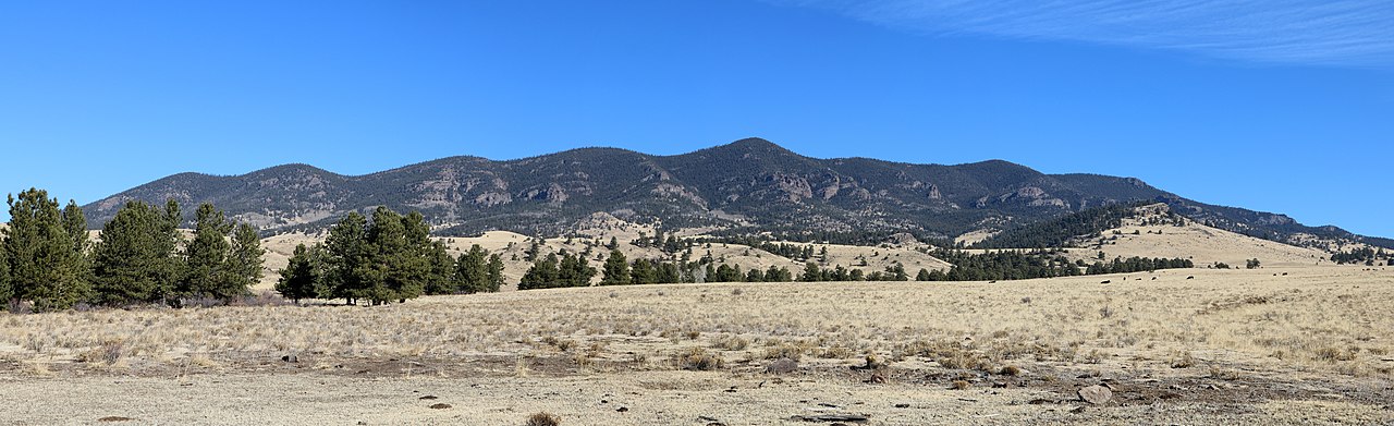 Photo: Jeffrey Beall, CC BY 4.0 (via Wikimedia Commons)
Alert in the area
The Forest Service lists 8 alerts for Pike and San Isabel National Forests.
FSR 286, Radical Hill, is closed due to washouts and unsafe conditions
Agency alert covering Pike and San Isabel National Forests · USFS · Pike and San Isabel National Forests
Interlaken Hotel Tree Hazards
Agency alert covering Pike and San Isabel National Forests · USFS · Pike and San Isabel National Forests
National Forest Service Road 8 closure
Agency alert covering South Park Ranger District · Order 02-12-10-26-13 · USFS · South Park Ranger District
Sharpe Fire Update
Agency alert covering Pike and San Isabel National Forests · USFS · Pike and San Isabel National Forests
Turquoise Lake Road (County Road 4) Closure
Agency alert covering Pike and San Isabel National Forests · USFS · Pike and San Isabel National Forests
As of · Source: USFS · Pike and San Isabel National Forests. Agencies don't list every closure — check before you go.
Thirtynine Mile Mountain is a summit of about 11,557 feet in Park County, Colorado, on the South Park Ranger District of the Pike and San Isabel National Forests. The Forest Service manages the land, and the nearest town is Guffey, about 5.5 miles away. Lakeview Trail lies about 5 miles away, and Witcher Cove Campground and Howbert Point Campground are both within about 6.5 miles. Climbers can head to Pine Cone Dome, roughly 7 miles off.
Witcher Cove Campground
Campground
 If it rainsJeffrey Beall, CC BY 3.0 · Wikimedia Commons
Cripple Creek District Museum
Museum
History museum in Cripple Creek, Colorado
Places © OpenStreetMap contributors, Places © Overture Maps Foundation · Photos: Jeffrey Beall, CC BY 3.0 (commons)
More in GuffeyDaily highs and lows, wind and the chance of precipitation at the summit for the next 7 days, from the Open-Meteo model.
Elevation from USGS 3D Elevation Program terrain data (about 10 m resolution).
We don't know of a mapped trail or route to the summit of Thirtynine Mile Mountain. Plan the approach with local maps, a guidebook or a local guide, and check conditions before you go.
11,557 ft (3,523 m).
We don't know of a mapped trail or route to the summit. Plan the approach with local maps, a guidebook or a local guide.
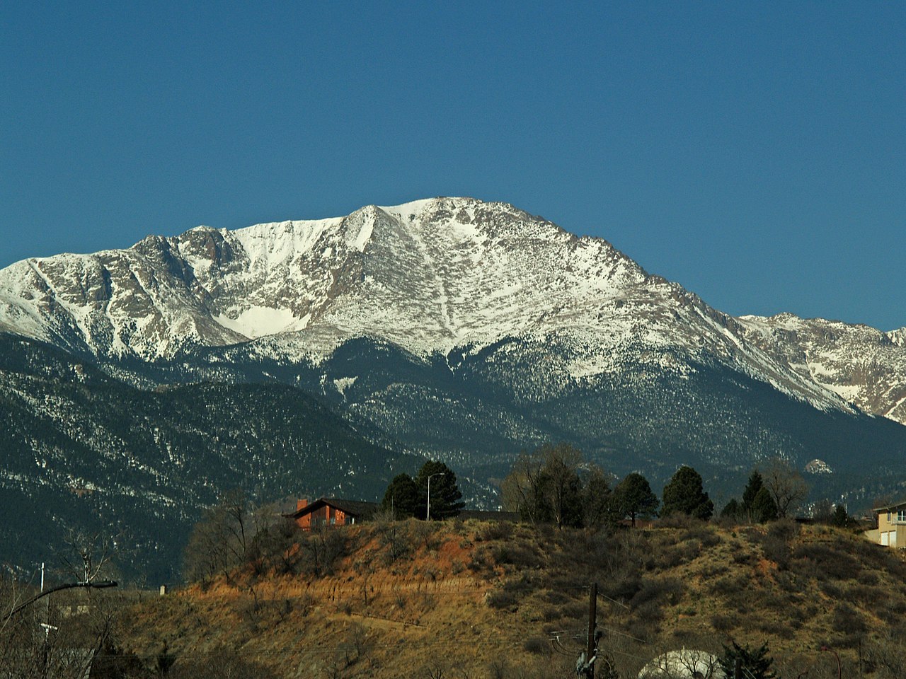
 Howbert Point CampgroundCampingPhoto: Jay Miller from Fly to Eleven Mile Canyon just outside Colorado Springs, CC BY 2.0 (via Wikimedia Commons)6.4 mi
Source: Roamze catalog (indexable pages within 10 miles, PostGIS distance)
 Badger MountainSummit · ~26 min drivePhoto: Jeffrey Beall, CC BY 4.0 (via Wikimedia Commons)
 Mount PisgahSummit · ~33 min drivePhoto: James St. John, CC BY 2.0 (via Wikimedia Commons)
 Castle RockSummit · ~39 min drivePhoto: Jeffrey Beall, CC BY 4.0 (via Wikimedia Commons)Pikes PeakSummit · ~47 min drivePhoto: David Shankbone, CC BY-SA 3.0 (via Wikimedia Commons)
 East Buffalo PeakSummit · ~54 min drivePhoto: Jeffrey Beall, CC BY 4.0 (via Wikimedia Commons)
 Buffalo PeakSummit · ~55 min drivePhoto: Thomson200, CC0 (via Wikimedia Commons)
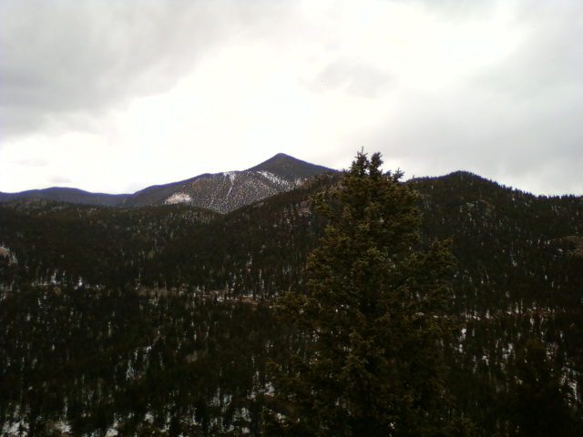 Mount RosaSummit · ~57 min drivePhoto: Xnatedawgx, CC BY-SA 3.0 (via Wikimedia Commons)
 Saint Peters DomeSummit · ~1h drivePhoto: Langdon & Company, Denver, Public domain (via Wikimedia Commons)
 Green MountainSummit · ~1h 1m drivePhoto: Thomson200, CC0 (via Wikimedia Commons)
 Blodgett PeakSummit · ~1h 2m drivePhoto: Thomson200, CC0 (via Wikimedia Commons)
Also worth it near here
Howbert Point CampgroundCamping · ~11 min drivePhoto: Jay Miller from Fly to Eleven Mile Canyon just outside Colorado Springs, CC BY 2.0 (via Wikimedia Commons)