Blodgett Peak
 Photo: Thomson200, CC0 (via Wikimedia Commons)
- 9,430 ft
- summit
- 1
- way up
- Forest Service
- managed by
- May–Jun, Sep
- best months
Is Blodgett Peak open right now?
Alert in the area
The Forest Service lists 11 alerts for Pike and San Isabel National Forests.
FSR 286, Radical Hill, is closed due to washouts and unsafe conditions
Agency alert covering Pike and San Isabel National Forests · USFS · Pike and San Isabel National Forests
Interlaken Hotel Tree Hazards
Agency alert covering Pike and San Isabel National Forests · USFS · Pike and San Isabel National Forests
Sharpe Fire Update
Agency alert covering Pike and San Isabel National Forests · USFS · Pike and San Isabel National Forests
Turquoise Lake Road (County Road 4) Closure
Agency alert covering Pike and San Isabel National Forests · USFS · Pike and San Isabel National Forests
Waldo Canyon Burn Area Closure
Agency alert covering Pikes Peak Ranger District · Order 02-12-09-24-07 · USFS · Pikes Peak Ranger District
As of · Source: USFS · Pike and San Isabel National Forests. Agencies don't list every closure — check before you go.
Blodgett Peak is a summit of 9,430 feet in Colorado's Pikes Peak Ranger District, part of the Pike and San Isabel National Forests. The Forest Service manages the land, and the nearest town is the Air Force Academy, about 3.4 miles away. Summer is the most comfortable time to go. Typical averages from a nearby weather station at Ruxton Park, at a similar elevation, show July highs around 74°F with lows near 46°F, while winter highs stay around 39°F. The Blodgett Peak Trail starts about half a mile from the summit, and the West Monument Creek Trail 713 is about 0.9 miles away. Climbers can head to Ormes Peak, about 1.6 miles off, and anglers will find the Dikeside Boating Site roughly 3.1 miles away.
Conditions and forecast
Daily highs and lows, wind and the chance of precipitation at the summit and route start for the next 7 days, from the Open-Meteo model.
- Summit elevation
- 9,430 ft
- Land manager
- Forest Service
Elevation from USGS 3D Elevation Program terrain data (about 10 m resolution).
Map © Mapbox © OpenStreetMap contributors Questions about Blodgett Peak
How tall is Blodgett Peak?
9,430 ft (2,874 m).
How many routes go to the summit of Blodgett Peak?
One: Blodgett Peak Trail.
- Devils Kitchen9,145 ft · Colorado1 route1.3 mi away
- Red Mountain7,330 ft · Colorado1 route7.5 mi away
- Iron Mountain7,130 ft · Colorado2 routes7.6 mi away
 Mount Herman9,065 ft · Colorado2 routes8.5 mi awayPhoto: Jeffrey Beall, CC BY 4.0 (via Wikimedia Commons)
- Raspberry Mountain8,644 ft · Colorado1 route9.3 mi away
- Chautauqua Mountain8,346 ft · Colorado1 route11 mi away
 Blodgett Peak TrailHikingPhoto: timmarshall, CC BY-SA 2.0 (via Flickr)0.5 mi
- West Monument Creek Trail 713Hiking0.9 mi
- Ormes PeakRock climbing1.6 mi
- Nirvana WallRock climbing2 mi
- Dikeside Boating SiteLake fishing3.1 mi
- Homestake Fishing SiteLake fishing3.4 mi
 Thunder RidgeCampingPhoto: Recreation.gov (RIDB) / public domain4.3 mi
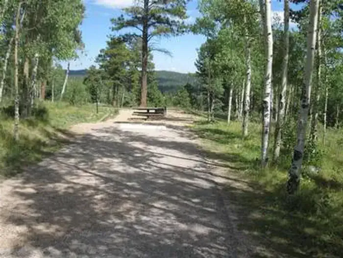 Meadow RidgeCampingPhoto: Recreation.gov (RIDB) / public domain4.4 mi
Source: Roamze catalog (indexable pages within 10 miles, PostGIS distance)
- Mount HermanSummit · ~15 min drivePhoto: Jeffrey Beall, CC BY 4.0 (via Wikimedia Commons)
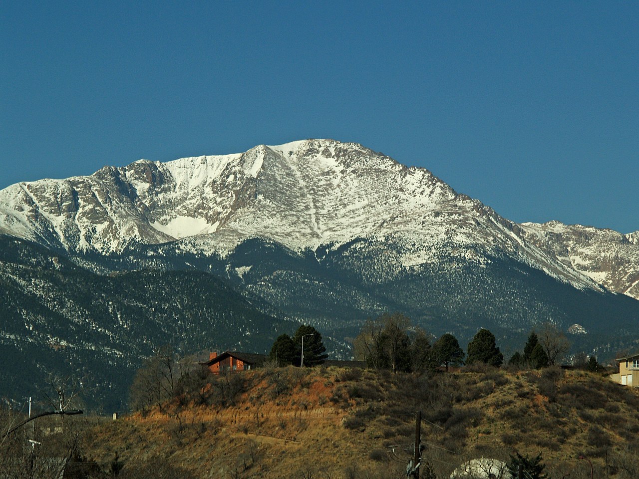 Pikes PeakSummit · ~19 min drivePhoto: David Shankbone, CC BY-SA 3.0 (via Wikimedia Commons)
 Elephant RockSummit · ~19 min drivePhoto: Oclupaca, CC0 (via Wikimedia Commons)
 Mount CutlerSummit · ~20 min drivePhoto: Lance Cpl. Graham Benson, Public domain (via Wikimedia Commons)
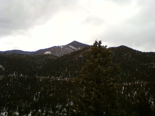 Mount RosaSummit · ~24 min drivePhoto: Xnatedawgx, CC BY-SA 3.0 (via Wikimedia Commons)
 Saint Peters DomeSummit · ~25 min drivePhoto: Langdon & Company, Denver, Public domain (via Wikimedia Commons)
 Mount PisgahSummit · ~37 min drivePhoto: James St. John, CC BY 2.0 (via Wikimedia Commons)
 Devils HeadSummit · ~40 min drivePhoto: Jeff Albright, CC BY-SA 3.0 (via Wikimedia Commons)
 Dawson ButteSummit · ~40 min drivePhoto: Jeffrey Beall, CC BY 4.0 (via Wikimedia Commons)
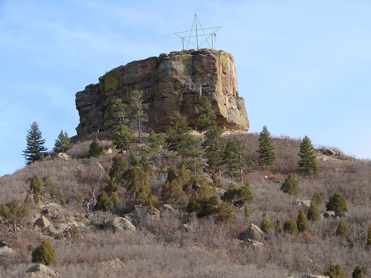 Castle RockSummit · ~50 min drivePhoto: Jeff Albright, CC BY-SA 3.0 (via Wikimedia Commons)
Also worth it near here
- Blodgett Peak TrailHiking · Next doorPhoto: timmarshall, CC BY-SA 2.0 (via Flickr)
- Northfield ReservoirLake fishing · ~4 min drive
 Stanley CanyonMountain biking · ~4 min drivePhoto: jared goss, CC BY-SA 3.0 (via Wikimedia Commons)
 Spaceship EarthRock climbing · ~6 min drivePhoto: Michael Barera, CC BY-SA 4.0 (via Wikimedia Commons)
Best time to visit Blodgett Peak
Best months: May–June and September. Best months have typical highs of 55–85 °F, lows of 30 °F or warmer (32 °F where the station doesn't record snow), at most one snowy day and no more than 12 wet days.
Jan
39° / 13°
5 wet
Feb
39° / 14°
6 wet
Mar
45° / 20°
7 wet
Apr
50° / 26°
8 wet
May
59° / 33°
10 wet
Jun
70° / 42°
11 wet
Jul
74° / 46°
16 wet
Aug
72° / 45°
16 wet
Sep
66° / 39°
9 wet
Oct
56° / 30°
6 wet
Nov
46° / 19°
5 wet
Dec
39° / 13°
5 wet
Typical high / low (°F) and days with rain or snow, 1991–2020. Measured at Ruxton Park, CO, 8.9 mi away at 9,060 ft. This station doesn't record snowfall. Source: NOAA NCEI U.S. Climate Normals 1991–2020.
