Castle Rock
 Photo: Jeffrey Beall, CC BY 4.0 (via Wikimedia Commons)
- 9,796 ft
- summit
- Forest Service
- managed by
- Jun–Aug
- best months
Is Castle Rock open right now?
Alert in the area
The Forest Service lists 7 alerts for Pike and San Isabel National Forests.
FSR 286, Radical Hill, is closed due to washouts and unsafe conditions
Agency alert covering Pike and San Isabel National Forests · USFS · Pike and San Isabel National Forests
Interlaken Hotel Tree Hazards
Agency alert covering Pike and San Isabel National Forests · USFS · Pike and San Isabel National Forests
Sharpe Fire Update
Agency alert covering Pike and San Isabel National Forests · USFS · Pike and San Isabel National Forests
Turquoise Lake Road (County Road 4) Closure
Agency alert covering Pike and San Isabel National Forests · USFS · Pike and San Isabel National Forests
Food Storage Prohibitions on Pike-San Isabel National Forests
Agency alert covering Pike and San Isabel National Forests · Order 02-12-00-23-07 · USFS · Pike and San Isabel National Forests
As of · Source: USFS · Pike and San Isabel National Forests. Agencies don't list every closure — check before you go.
Castle Rock is a summit of 9,796 feet in Colorado's Pike and San Isabel National Forests, within the Salida Ranger District. The nearest town is Johnson Village, about 7 miles away, and the surrounding land is managed by the Forest Service. Summer is the most comfortable time to visit. Typical averages from a nearby weather station show July highs around 76°F and lows near 41°F, though that station sits about 850 feet lower, so temperatures on the summit run cooler. Winter is severe, with January highs near freezing and lows well below zero. Several places lie within a few miles. Mushroom Gulch Site 1 and 2 offer camping about 1.3 to 1.4 miles off. Castle Rock Gulch, a climbing area, is about 2.2 miles away, and Sunset Boulders is about 2.9 miles away.
Conditions and forecast
Daily highs and lows, wind and the chance of precipitation at the summit for the next 7 days, from the Open-Meteo model.
- Summit elevation
- 9,796 ft
- Land manager
- Forest Service
Elevation from USGS 3D Elevation Program terrain data (about 10 m resolution).
We don't know of a mapped trail or route to the summit of Castle Rock. Plan the approach with local maps, a guidebook or a local guide, and check conditions before you go.
Questions about Castle Rock
How tall is Castle Rock?
9,796 ft (2,986 m).
Is there a trail to the top of Castle Rock?
We don't know of a mapped trail or route to the summit. Plan the approach with local maps, a guidebook or a local guide.
- Midland Hill9,554 ft · Colorado1 route6.3 mi away
 East Buffalo Peak13,302 ft · Colorado1 route13 mi awayPhoto: Jeffrey Beall, CC BY 4.0 (via Wikimedia Commons)
- West Buffalo Peak13,329 ft · Colorado1 route14 mi awayPhoto: Jeffrey Beall, CC BY 4.0 (via Wikimedia Commons)
 Mount Princeton14,197 ft · Colorado2 routes15 mi awayPhoto: David Herrera from Albuquerque, NM, Bernalillo, CC BY 2.0 (via Wikimedia Commons)
 Mount Antero14,268 ft · Colorado1 route18 mi awayPhoto: David Herrera from Albuquerque, NM, Bernalillo, CC BY 2.0 (via Wikimedia Commons)
 Mount Columbia14,069 ft · Colorado3 routes18 mi awayPhoto: David Herrera from Albuquerque, NM, Bernalillo, CC BY 2.0 (via Wikimedia Commons)
- Mushroom Gulch Site 1Camping1.3 mi
 Mushroom Gulch Site 2CampingPhoto: Jeffrey Beall, CC BY 4.0 (via Wikimedia Commons)1.4 mi
- Mushroom Gulch Site 3Camping1.9 mi
- Castle Rock GulchRock climbing2.2 mi
- TRIAD RIDGE SINGLE TRACKHiking2.6 mi
- ARNOLD GULCH TRAILHiking2.6 mi
- shields gulch roadMountain biking2.7 mi
- Sunset BouldersRock climbing2.9 mi
Source: Roamze catalog (indexable pages within 10 miles, PostGIS distance)
- East Buffalo PeakSummit · ~22 min drivePhoto: Jeffrey Beall, CC BY 4.0 (via Wikimedia Commons)
- Mount PrincetonSummit · ~26 min drivePhoto: David Herrera from Albuquerque, NM, Bernalillo, CC BY 2.0 (via Wikimedia Commons)
- Mount AnteroSummit · ~31 min drivePhoto: David Herrera from Albuquerque, NM, Bernalillo, CC BY 2.0 (via Wikimedia Commons)
- Mount ColumbiaSummit · ~31 min drivePhoto: David Herrera from Albuquerque, NM, Bernalillo, CC BY 2.0 (via Wikimedia Commons)
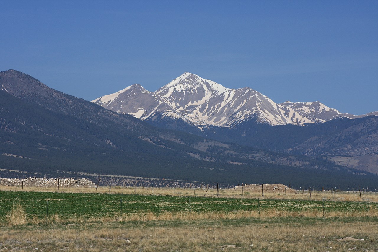 Mount YaleSummit · ~31 min drivePhoto: David Herrera from Albuquerque, NM, Bernalillo, CC BY 2.0 (via Wikimedia Commons)
 Mount WhiteSummit · ~31 min drivePhoto: David Herrera, CC BY 2.0 (via Wikimedia Commons)
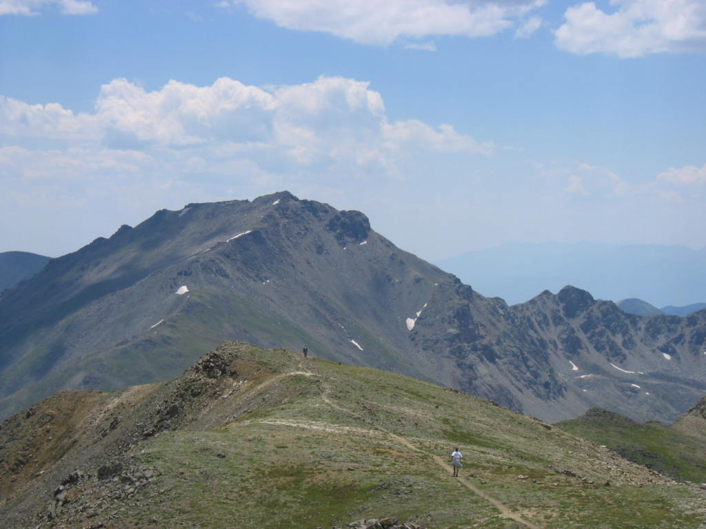 Mount HarvardSummit · ~33 min drivePhoto: jokermanj, CC BY 2.0 (via Wikimedia Commons)
 Tabeguache PeakSummit · ~35 min drivePhoto: John Sowell, CC BY-SA 4.0 (via Wikimedia Commons)
 Cronin PeakSummit · ~35 min drivePhoto: John Sowell, CC BY-SA 4.0 (via Wikimedia Commons)
 Mount OxfordSummit · ~37 min drivePhoto: David Herrera from Albuquerque, NM, Bernalillo, CC BY 2.0 (via Wikimedia Commons)
Also worth it near here
Best time to visit Castle Rock
Best months: June–August. Best months have typical highs of 55–85 °F, lows of 30 °F or warmer (32 °F where the station doesn't record snow), at most one snowy day and no more than 12 wet days.
Jan
32° / -4°
4 wet
Feb
34° / -1°
4 wet
Mar
42° / 10°
5 wet
Apr
49° / 19°
6 wet
May
59° / 27°
7 wet
Jun
70° / 34°
7 wet
Jul
76° / 41°
11 wet
Aug
73° / 39°
12 wet
Sep
67° / 30°
7 wet
Oct
55° / 19°
5 wet
Nov
42° / 9°
4 wet
Dec
32° / -2°
4 wet
Typical high / low (°F) and days with rain or snow, 1991–2020. Measured at Antero Rsvr, CO, 12.3 mi away at 8,939 ft. The station sits about 900 ft lower than this place, so expect it a little cooler here. This station doesn't record snowfall. Source: NOAA NCEI U.S. Climate Normals 1991–2020.

