Spillway Campground
Campground
Campground · 6.2 mi from the trail
Lakeview Trail is an easy out-and-back hike in Colorado, about 5.4 miles from the town of Guffey. The trail is short, roughly 2.8 miles long, and it climbs to a high point of 9,328 feet before returning to its starting elevation of 9,328 feet, which makes the total elevation gain and loss each about 376 feet. The steepest stretch comes at about 0.92 miles in, where the grade reaches 7%. Summer is the most comfortable time to go. Typical averages from a nearby weather station in Guffey run to highs around 73 to 77°F from June through August, with July the wettest month at about 16 days with precipitation. That station sits several hundred feet lower than the trail's high point, so expect temperatures on the trail to run a bit cooler. The trip takes about an hour. Eagle Nest Trail lies about 1.5 miles away, and the O K R Trail is about 1.8 miles off. For an overnight stay, Spillway Campground is about 6.2 miles away, and Pine Cone Dome offers climbing about 6.4 miles from the trail.
Spillway Campground
Campground
 If it rainsJeffrey Beall, CC BY 3.0 · Wikimedia Commons
Cripple Creek District Museum
Museum
History museum in Cripple Creek, Colorado
Places © OpenStreetMap contributors, Places © Overture Maps Foundation · Photos: Jeffrey Beall, CC BY 3.0 (commons)
More in GuffeyNot on Roamze yet. Their page has how to reach them.
Source: Roamze catalog (indexable pages within 10 miles, PostGIS distance)
 HardrockHiking · ~19 min drivePhoto: Ken Brazier (Ken g6), CC BY-SA 3.0 (via Wikimedia Commons)
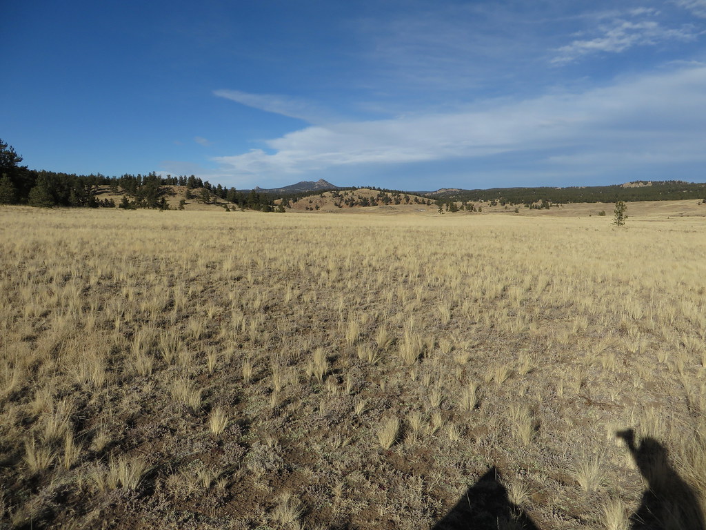 Hornbek Wildlife LoopHiking · ~20 min drivePhoto: Ken Lund, CC BY-SA 2.0 (via Flickr)
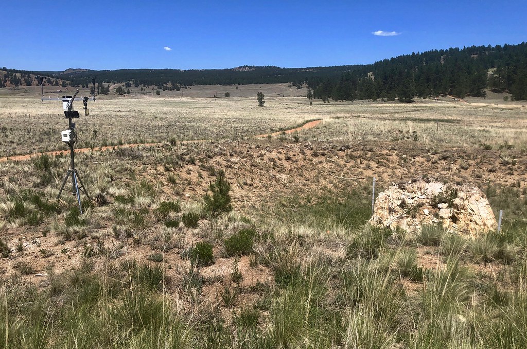 Sawmill-Boulder TrailHiking · ~19 min drivePhoto: roy.luck, CC BY 2.0 (via Flickr)
 Cabin Creek TrailHiking · ~24 min drivePhoto: Sack-Sama, CC BY-SA 2.0 (via Flickr)
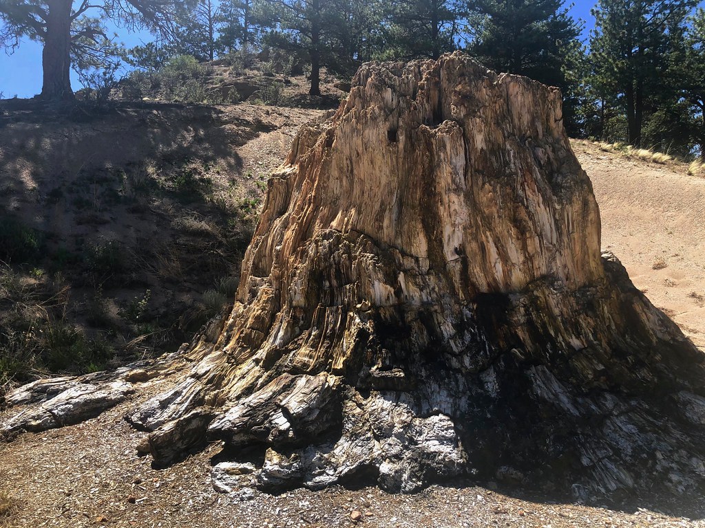 Boulder Creek TrailHiking · ~20 min drivePhoto: roy.luck, CC BY 2.0 (via Flickr)Hammer Homestead TrailHiking · ~25 min drivePhoto: Sack-Sama, CC BY-SA 2.0 (via Flickr)Petrified Forest LoopHiking · ~20 min drivePhoto: Ken Lund, CC BY-SA 2.0 (via Flickr)
 OverlookHiking · ~11 min drivePhoto: waterarchives, CC BY-SA 2.0 (via Flickr)
Also worth it near here
 Wagon Tongue CampgroundCamping · ~13 min drivePhoto: Jay Miller from Fly to Eleven Mile Canyon just outside Colorado Springs, CC BY 2.0 (via Wikimedia Commons)
Best months: May–June and September–October. Best months have typical highs of 55–85 °F, lows of 30 °F or warmer (32 °F where the station doesn't record snow), at most one snowy day and no more than 12 wet days.
Jan
37° / 16°
5 wet
Feb
38° / 16°
5 wet
Mar
47° / 23°
6 wet
Apr
53° / 28°
7 wet
May
63° / 36°
10 wet
Jun
73° / 47°
10 wet
Jul
77° / 49°
16 wet
Aug
74° / 49°
14 wet
Sep
67° / 44°
8 wet
Oct
58° / 32°
5 wet
Nov
45° / 24°
4 wet
Dec
36° / 16°
5 wet
Typical high / low (°F) and days with rain or snow, 1991–2020. Measured at Guffey 9se, CO, 9.7 mi away at 8,915 ft. This station doesn't record snowfall. Source: NOAA NCEI U.S. Climate Normals 1991–2020.
Map and trail data © OpenStreetMap contributors
