Dispersed camp site
Campground
Campground · 3.2 mi from the trail
 Photo: squeaks2569, CC BY-SA 2.0 (via Flickr)
Closure in the area
There's a closure order in Columbine Ranger District. It doesn't name Three Needles, so check the source for the area it covers (5 listed).
Pagosa Ranger District Road Closure
Agency closure covering Columbine Ranger District · Order 02-13-08-26-17 · USFS · Columbine Ranger District
COLUMBINE RANGER DISTRICT Road Closure
Agency closure covering Columbine Ranger District · Order 02-13-08-26-18 · USFS · Columbine Ranger District
Travel is not advised to the San Juan NF
Agency closure covering San Juan National Forest · USFS · San Juan National Forest
Closures and dangerous conditions on roads, bridges, and trails from flooding
Agency closure covering San Juan National Forest · USFS · San Juan National Forest
Multiple roads and trails damaged by flooding on SJNF
Agency closure covering San Juan National Forest · USFS · San Juan National Forest
As of · Source: USFS · Columbine Ranger District. Agencies don't list every closure — check before you go.
Three Needles is a hard out-and-back hike in Colorado's San Juan National Forest, within the Columbine Ranger District. The route is about 3 miles long, with a total elevation gain of roughly 1,450 feet, and the high point reaches about 13,465 feet. The Forest Service manages the land. The climb is a round trip, with about 1,450 feet of gain and loss. The route is rated hard, so plan on a full day. The trip takes about two hours, and the high point makes this a destination for a longer outing rather than a quick walk. Nearby, Trico Peak is about 1.7 miles away, and the Blue Lake mountain biking area is about 1.5 miles off. Climbers can head to Pipeline Wall, about 2.7 miles away, and the Sultan Designated Camping Area offers a place to stay about 4.8 miles from the trail.
Dispersed camp site
Campground
Smuggler Union Tramhouse
Attraction
Places © OpenStreetMap contributors, Places © Overture Maps Foundation
More in TellurideNot on Roamze yet. Their page has how to reach them.
Daily highs and lows, wind and the chance of precipitation at the summit and route start for the next 7 days, from the Open-Meteo model.
 Trico PeakHikingPhoto: John Fowler from Placitas, NM, USA, CC BY 2.0 (via Wikimedia Commons)1.7 mi
 Pipeline WallRock climbingPhoto: Daniel Weber, CC0 (via Flickr)2.7 mi
 Main WallRock climbingPhoto: Lars Plougmann, CC BY-SA 2.0 (via Flickr)2.8 mi
 Dispersed camp siteCampingPhoto: Tobias from Germany, CC BY 2.0 (via Wikimedia Commons)3.2 mi
Source: Roamze catalog (indexable pages within 10 miles, PostGIS distance)
Trico PeakHiking · ~3 min drivePhoto: John Fowler from Placitas, NM, USA, CC BY 2.0 (via Wikimedia Commons) COLUMBINE LAKEHiking · ~4 min drivePhoto: Sandy Horvath-Dori from Grand Junction, CO, USA, CC BY 2.0 (via Wikimedia Commons)Guston TrailHiking · ~6 min drivePhoto: Tobias from Germany, CC BY 2.0 (via Wikimedia Commons)
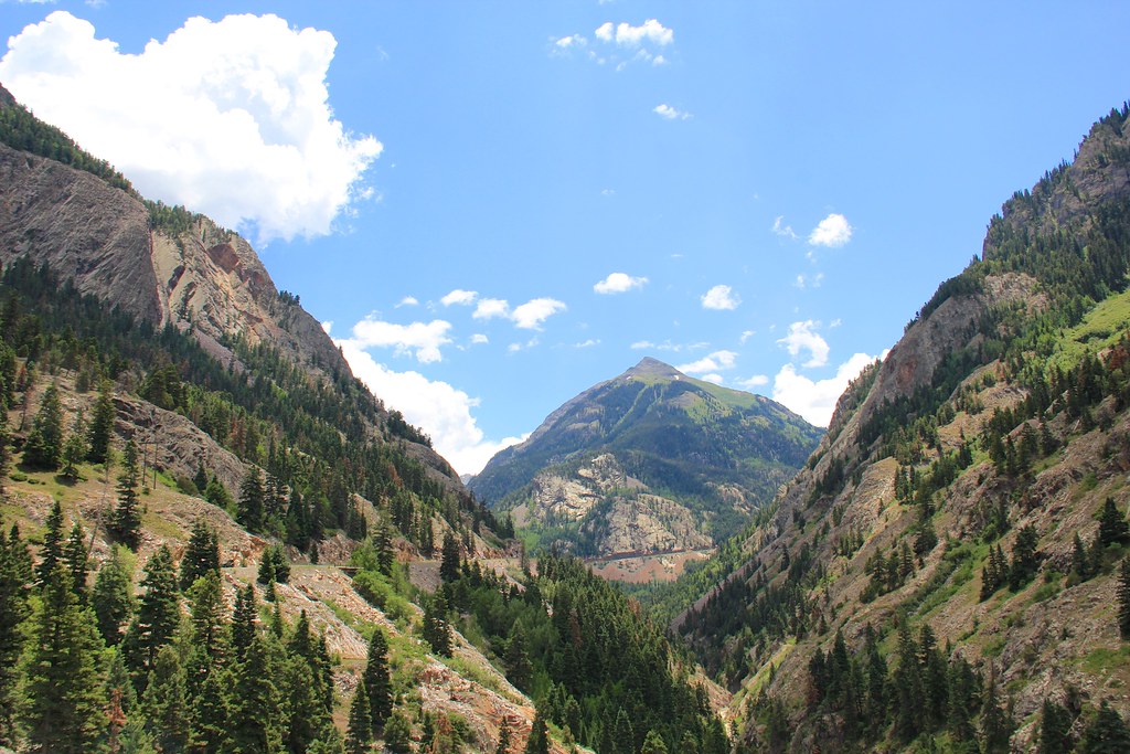 Beaver/Belfast Mine TrailHiking · ~9 min drivePhoto: daveynin, CC BY 2.0 (via Flickr)Silver LakeHiking · ~4 min drivePhoto: Daniel Weber, Public Domain Dedication (CC0) (via Flickr)Hayden MountainHiking · ~8 min drivePhoto: daveynin, CC BY 2.0 (via Flickr)Corkscrew Gulch Turntable TrailHiking · ~6 min drivePhoto: Tobias from Germany, CC BY 2.0 (via Wikimedia Commons)
 Chicago PeakHiking · ~4 min drivePhoto: QKC, CC BY-SA 3.0 (via Wikimedia Commons)
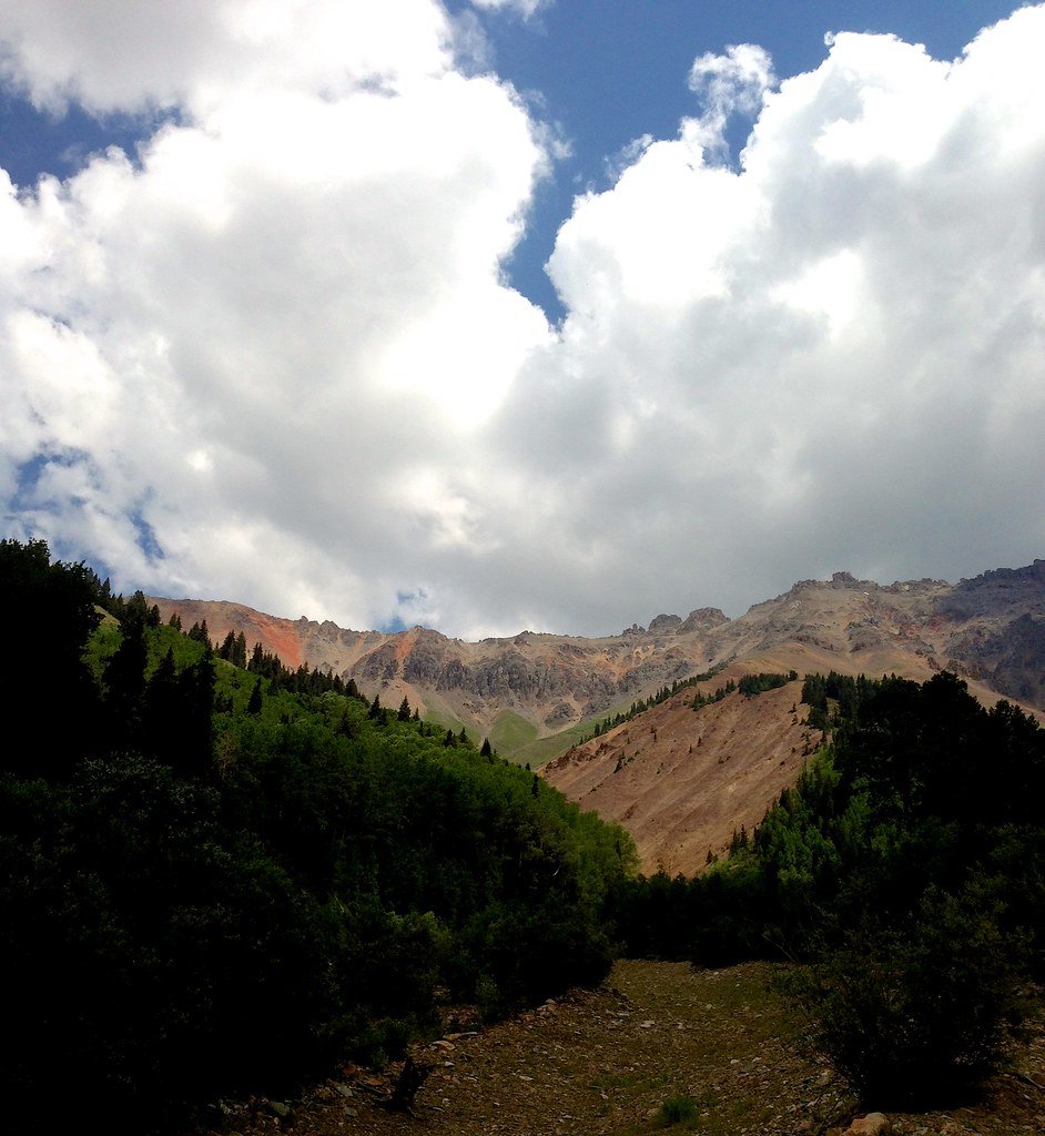 Wasatch MountainHiking · ~8 min drivePhoto: sdingle, CC BY-SA 2.0 (via Flickr)
Also worth it near here
 Lewis MineMountain biking · ~3 min drivePhoto: John Fowler from Placitas, NM, USA, CC BY 2.0 (via Wikimedia Commons)
 Bridal Veil FallsWaterfall · ~4 min drivePhoto: Terry Foote (talk), CC BY-SA 3.0 (via Wikimedia Commons)Pipeline WallRock climbing · ~5 min drivePhoto: Daniel Weber, CC0 (via Flickr)
 Lookout PeakSummit · ~5 min drivePhoto: Larry Lamsa, CC BY 2.0 (via Wikimedia Commons)
About 3.1 mi round trip from Porphry Basin Trailhead.
About 1,451 ft of climbing round trip.
It is rated hard.
Porphry Basin Trailhead.
© openrouteservice.org by HeiGIT | Map data © OpenStreetMap contributors
