Alta Lakes Camping Area
Campground
Campground · 2.3 mi from the trail
Closure in the area
There's a closure order in Grand Mesa, Uncompahgre and Gunnison National Forests. It doesn't name Oscar's Peak, so check the source for the area it covers (2 listed).
Gold Mountain Wildfire Roads and Trails Closure Order v 4.0
Agency closure covering Grand Mesa, Uncompahgre and Gunnison National Forests · USFS · Grand Mesa, Uncompahgre and Gunnison National Forests
Ophir Pass Road Closure
Agency closure covering Grand Mesa, Uncompahgre and Gunnison National Forests · USFS · Grand Mesa, Uncompahgre and Gunnison National Forests
Potter Basin Road Closure Order
Agency alert covering Grand Mesa, Uncompahgre and Gunnison National Forests · USFS · Grand Mesa, Uncompahgre and Gunnison National Forests
Beaver Park Road Closure Order
Agency alert covering Grand Mesa, Uncompahgre and Gunnison National Forests · USFS · Grand Mesa, Uncompahgre and Gunnison National Forests
TERMINATION OF ORDER - FIRE RESTRICTIONS
Agency alert covering Grand Mesa, Uncompahgre and Gunnison National Forests · USFS · Grand Mesa, Uncompahgre and Gunnison National Forests
As of · Source: USFS · Grand Mesa, Uncompahgre and Gunnison National Forests. Agencies don't list every closure — check before you go.
Oscar's Peak is an expert-level out-and-back hike in Colorado's Grand Mesa, Uncompahgre and Gunnison National Forests, within the Norwood Ranger District. The route covers about 7.3 miles with a total elevation gain of 4,221 feet, and the high point reaches 13,432 feet. The Forest Service manages the land, and the peak sits among several other destinations in the area, including Pilot Knob and the Waterfall hike, both within a quarter mile. The climb is a long and steep one, with a round-trip gain and loss of about 4,200 feet. Plan for roughly 4.5 hours on the trail, and know that the route is rated for experts, so fitness and experience are important. The peak's high altitude means a careful approach to acclimatization is worth considering before heading out. Alta Lakes Camping Area and the dispersed camping at Alta Lakes lie about 2.3 miles away for anyone planning an overnight stay. Climbers can find Cracked Canyon and Bermuda Triangle within about 2 miles, and paddlers can head to Lake Fork, roughly 3.5 miles off.
Alta Lakes Camping Area
Campground
Little Hawaii Grotto
Attraction
Places © OpenStreetMap contributors, Places © Overture Maps Foundation
More in TellurideNot on Roamze yet. Their page has how to reach them.
 Alta Lakes Camping AreaCampingPhoto: Jeffrey Beall, CC BY 4.0 (via Wikimedia Commons)2.3 mi
Source: Roamze catalog (indexable pages within 10 miles, PostGIS distance)
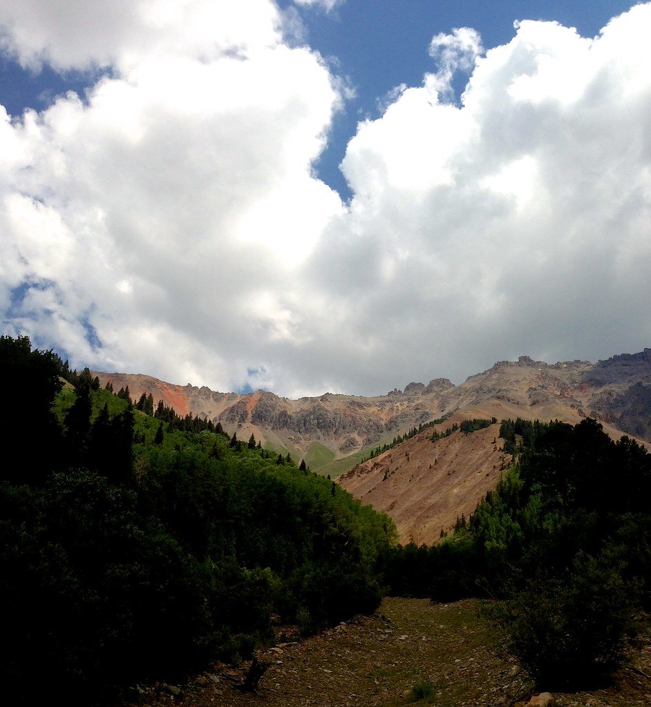 Swamp CanyonHiking · ~1 min drivePhoto: sdingle, CC BY-SA 2.0 (via Flickr)
 Swamp CanyonHiking · ~3 min drivePhoto: John Fowler from Placitas, NM, USA, CC BY 2.0 (via Wikimedia Commons)
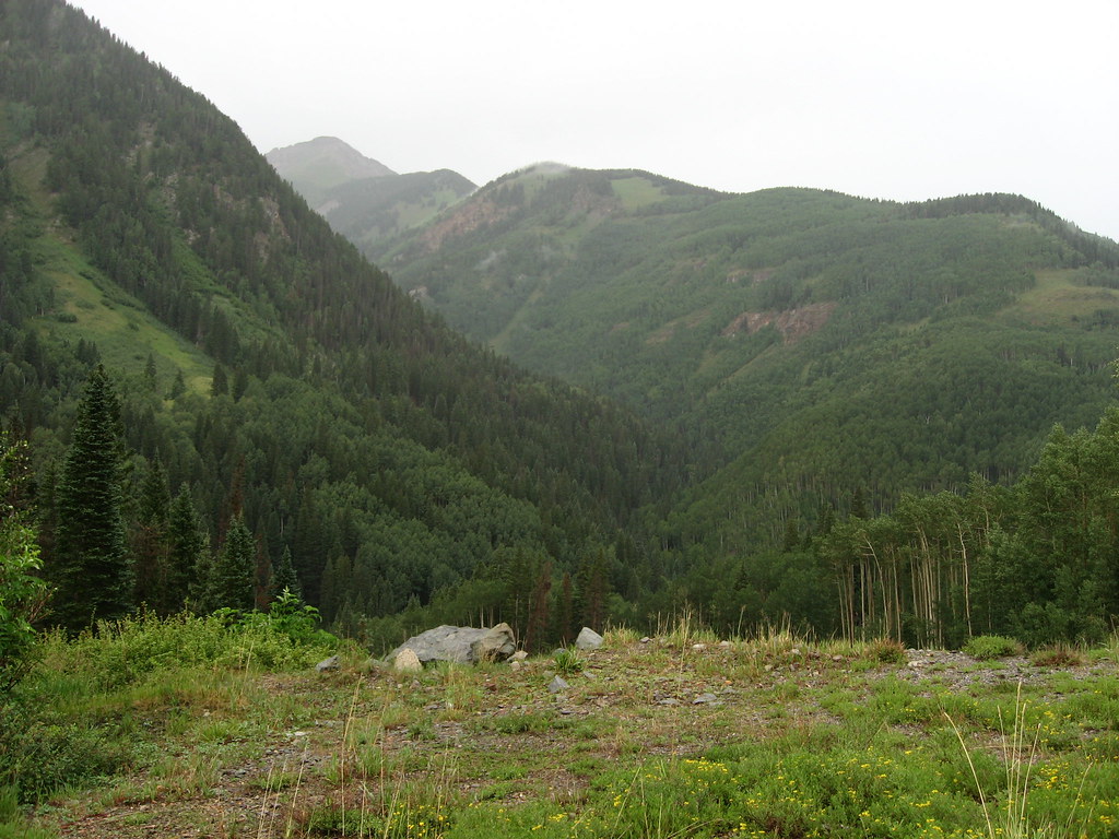 P LAKE SKI MID MEADOW LOOP 2Hiking · ~6 min drivePhoto: Ken Lund, CC BY-SA 2.0 (via Flickr)
 Ulysses S Grant PeakHiking · ~8 min drivePhoto: snowpeak, CC BY 2.0 (via Flickr)Ice LakeHiking · ~7 min drivePhoto: snowpeak, CC BY 2.0 (via Flickr)
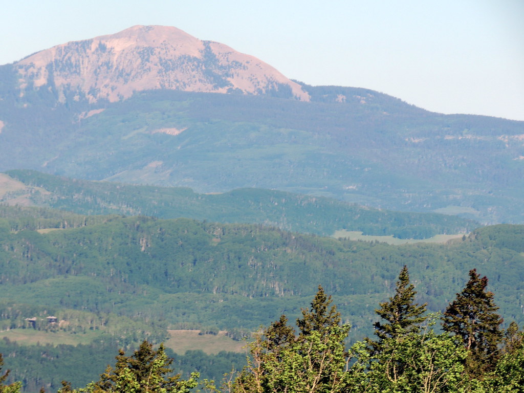 SunshineHiking · ~7 min drivePhoto: dougandme, CC BY 2.0 (via Flickr)Magic Meadows LoopHiking · ~6 min drivePhoto: dougandme, CC BY 2.0 (via Flickr)
 Vermilion PeakHiking · ~9 min drivePhoto: Dave Lyskawa (talk · contribs), Public domain (via Wikimedia Commons)
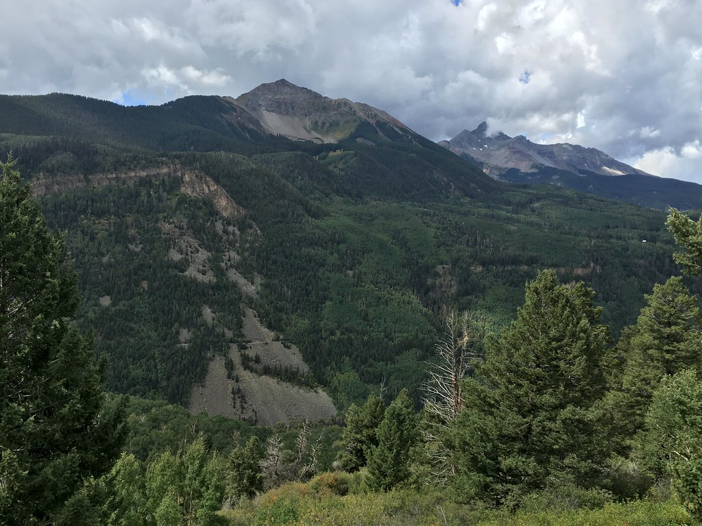 Magic MeadowsHiking · ~7 min drivePhoto: cogdogblog, CC BY 2.0 (via Flickr)
 Ridge TrailHiking · ~9 min drivePhoto: sf-dvs, CC BY 2.0 (via Wikimedia Commons)
Also worth it near here
 Silver MountainSummit · ~2 min drivePhoto: David Goodman, CC BY 2.0 (via Wikimedia Commons)
 BlixtMountain biking · ~3 min drivePhoto: John Fowler from Placitas, NM, USA, CC BY 2.0 (via Wikimedia Commons)Alta Lakes Camping AreaCamping · ~4 min drivePhoto: Jeffrey Beall, CC BY 4.0 (via Wikimedia Commons)
© openrouteservice.org by HeiGIT | Map data © OpenStreetMap contributors
