Alta Lakes Camping Area
Campground
Campground · 2.7 mi from the trail
Closure in the area
There's a closure order in Grand Mesa, Uncompahgre and Gunnison National Forests. It doesn't name Wasatch, so check the source for the area it covers (2 listed).
Gold Mountain Wildfire Roads and Trails Closure Order v 4.0
Agency closure covering Grand Mesa, Uncompahgre and Gunnison National Forests · USFS · Grand Mesa, Uncompahgre and Gunnison National Forests
Ophir Pass Road Closure
Agency closure covering Grand Mesa, Uncompahgre and Gunnison National Forests · USFS · Grand Mesa, Uncompahgre and Gunnison National Forests
Potter Basin Road Closure Order
Agency alert covering Grand Mesa, Uncompahgre and Gunnison National Forests · USFS · Grand Mesa, Uncompahgre and Gunnison National Forests
Beaver Park Road Closure Order
Agency alert covering Grand Mesa, Uncompahgre and Gunnison National Forests · USFS · Grand Mesa, Uncompahgre and Gunnison National Forests
TERMINATION OF ORDER - FIRE RESTRICTIONS
Agency alert covering Grand Mesa, Uncompahgre and Gunnison National Forests · USFS · Grand Mesa, Uncompahgre and Gunnison National Forests
As of · Source: USFS · Grand Mesa, Uncompahgre and Gunnison National Forests. Agencies don't list every closure — check before you go.
The Wasatch hike is a short, easy out-and-back in Colorado's Grand Mesa, Uncompahgre and Gunnison National Forests, within the Norwood Ranger District. The trail is about a mile long, with a one-way elevation gain of 483 feet, taking you from a low point of about 12,572 feet to a high of about 13,061 feet. The route is on natural surface, and the Forest Service allows both horses and bikes. The trail is open year-round, so it works for a quick outing any time of year. The Wasatch sits close to several other destinations. Blixt is about 0.4 miles away, and Lewis Mine is about a mile off. Alta Lakes Camping Area and the Sesame Street climbing area are both within about 3 miles.
Alta Lakes Camping Area
Campground
Little Hawaii Grotto
Attraction
Places © OpenStreetMap contributors, Places © Overture Maps Foundation
More in TellurideNot on Roamze yet. Their page has how to reach them.
 Alta Lakes Camping AreaCampingPhoto: Jeffrey Beall, CC BY 4.0 (via Wikimedia Commons)2.7 mi
 Main WallRock climbingPhoto: Lars Plougmann, CC BY-SA 2.0 (via Flickr)3 mi
Source: Roamze catalog (indexable pages within 10 miles, PostGIS distance)
 Swamp CanyonHiking · ~3 min drivePhoto: John Fowler from Placitas, NM, USA, CC BY 2.0 (via Wikimedia Commons)
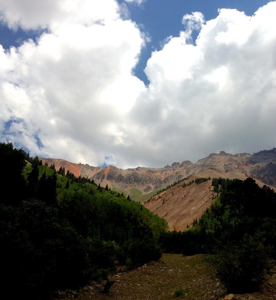 Wasatch MountainHiking · ~4 min drivePhoto: sdingle, CC BY-SA 2.0 (via Flickr)
 Silver LakeHiking · ~5 min drivePhoto: Daniel Weber, Public Domain Dedication (CC0) (via Flickr)
 Prospect LoopHiking · ~6 min drivePhoto: Moo.The.Cow, CC BY 2.0 (via Flickr)
 Ridge TrailHiking · ~7 min drivePhoto: sf-dvs, CC BY 2.0 (via Wikimedia Commons)
 COLUMBINE LAKEHiking · ~7 min drivePhoto: Sandy Horvath-Dori from Grand Junction, CO, USA, CC BY 2.0 (via Wikimedia Commons)
 Three NeedlesHiking · ~5 min drivePhoto: squeaks2569, CC BY-SA 2.0 (via Flickr)
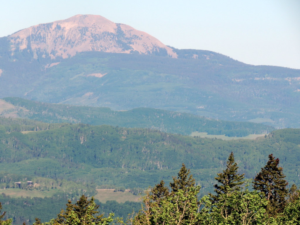 Magic Meadows LoopHiking · ~7 min drivePhoto: dougandme, CC BY 2.0 (via Flickr)SunshineHiking · ~9 min drivePhoto: dougandme, CC BY 2.0 (via Flickr)
