Sultan Designated Camping Area
Campground
Campground · 2.7 mi from the trail
 Photo: Sandy Horvath-Dori from Grand Junction, CO, USA, CC BY 2.0 (via Wikimedia Commons)
Caution today
Agency alerts are in effect for this area; weather is good · USFS, OpenWeather · checked 6 h ago
Closure in the area
There's a closure order in Columbine Ranger District. It doesn't name COLUMBINE LAKE, so check the source for the area it covers (5 listed).
Pagosa Ranger District Road Closure
Agency closure covering Columbine Ranger District · Order 02-13-08-26-17 · USFS · Columbine Ranger District
COLUMBINE RANGER DISTRICT Road Closure
Agency closure covering Columbine Ranger District · Order 02-13-08-26-18 · USFS · Columbine Ranger District
Travel is not advised to the San Juan NF
Agency closure covering San Juan National Forest · USFS · San Juan National Forest
Closures and dangerous conditions on roads, bridges, and trails from flooding
Agency closure covering San Juan National Forest · USFS · San Juan National Forest
Multiple roads and trails damaged by flooding on SJNF
Agency closure covering San Juan National Forest · USFS · San Juan National Forest
As of · Source: USFS · Columbine Ranger District. Agencies don't list every closure — check before you go.
Columbine Lake is an out-and-back hike of about 9 miles in Colorado's San Juan National Forest, within the Columbine Ranger District. The trail is a front-loaded climb, with most of the 4,034-foot elevation gain coming early. The route starts at roughly 10,449 feet and reaches 12,734 feet at its high point, before descending back to the starting point. The Forest Service manages the land. The Columbine Lake Trail is the closest neighbor, about 1.9 miles away, and Three Needles is about 2.1 miles off. Sultan Designated Camping Area and Anvil Designated Camping Area are both within about 2.8 miles.
Sultan Designated Camping Area
Campground
Smuggler Union Tramhouse
Attraction
Places © OpenStreetMap contributors, Places © Overture Maps Foundation
More in TellurideNot on Roamze yet. Their page has how to reach them.
 Columbine Lake TrailHikingPhoto: John Fowler from Placitas, NM, USA, CC BY 2.0 (via Wikimedia Commons)1.9 mi
 Three NeedlesHikingPhoto: squeaks2569, CC BY-SA 2.0 (via Flickr)2.1 mi
 Pipeline WallRock climbingPhoto: Daniel Weber, CC0 (via Flickr)4.8 mi
 Main WallRock climbingPhoto: Lars Plougmann, CC BY-SA 2.0 (via Flickr)4.9 mi
Source: Roamze catalog (indexable pages within 10 miles, PostGIS distance)
Columbine Lake TrailHiking · ~3 min drivePhoto: John Fowler from Placitas, NM, USA, CC BY 2.0 (via Wikimedia Commons)Swamp CanyonHiking · ~6 min drivePhoto: John Fowler from Placitas, NM, USA, CC BY 2.0 (via Wikimedia Commons) Ulysses S Grant PeakHiking · ~8 min drivePhoto: snowpeak, CC BY 2.0 (via Flickr)
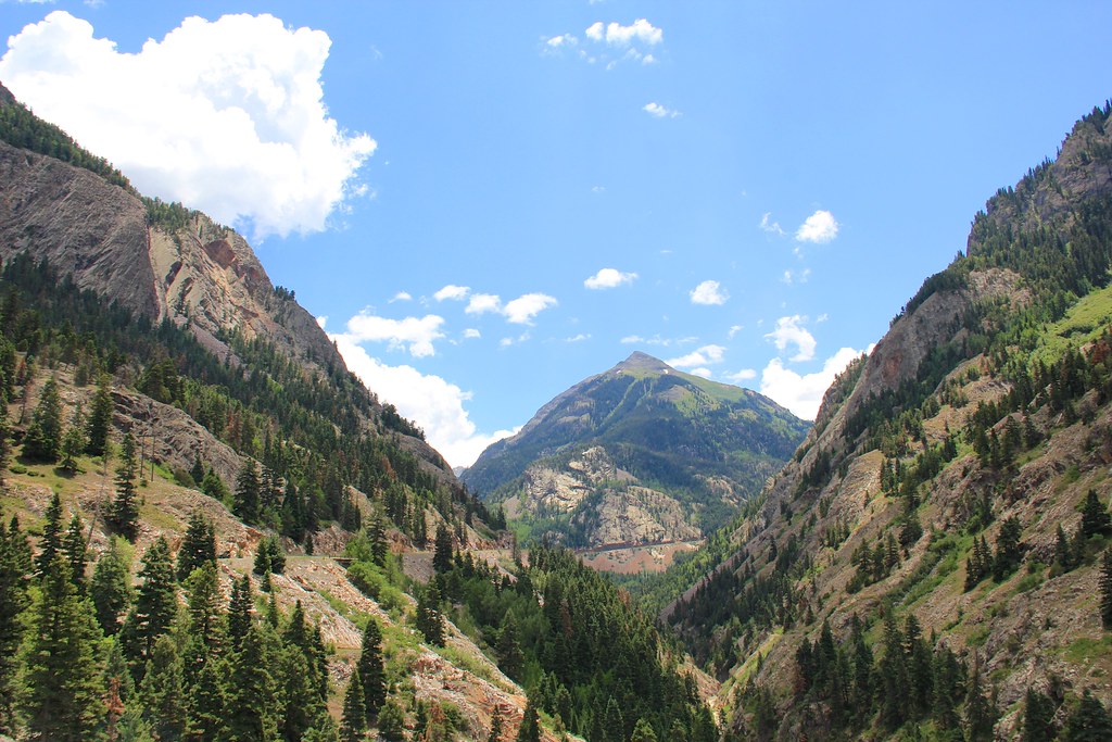 Beaver/Belfast Mine TrailHiking · ~10 min drivePhoto: daveynin, CC BY 2.0 (via Flickr)Three NeedlesHiking · ~4 min drivePhoto: squeaks2569, CC BY-SA 2.0 (via Flickr)
 Guston TrailHiking · ~8 min drivePhoto: Tobias from Germany, CC BY 2.0 (via Wikimedia Commons)
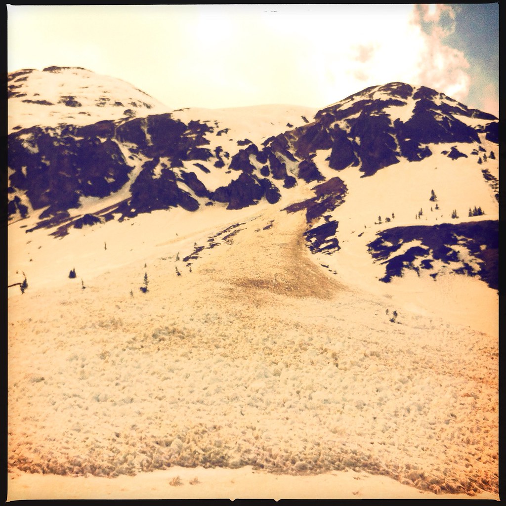 Emery PeakHiking · ~8 min drivePhoto: denverkid, CC BY 2.0 (via Flickr)
 Trico PeakHiking · ~5 min drivePhoto: John Fowler from Placitas, NM, USA, CC BY 2.0 (via Wikimedia Commons)Corkscrew Gulch Turntable TrailHiking · ~8 min drivePhoto: Tobias from Germany, CC BY 2.0 (via Wikimedia Commons)
Also worth it near here
 Lookout PeakSummit · ~5 min drivePhoto: Larry Lamsa, CC BY 2.0 (via Wikimedia Commons)
 Lewis MineMountain biking · ~5 min drivePhoto: John Fowler from Placitas, NM, USA, CC BY 2.0 (via Wikimedia Commons)
 Primitive Campsite near Ice Lake (San Juan National Forest)Camping · ~6 min drivePhoto: John Fowler from Placitas, NM, USA, CC BY 2.0 (via Wikimedia Commons)
