Pawnee Campground
Campground
Campground · 1.8 mi from the trail
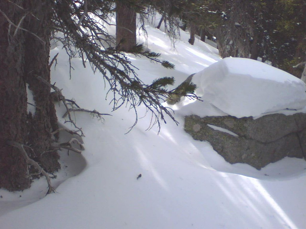 Photo: leighannemcc, CC BY-SA 2.0 (via Flickr)
Alert in the area
The Forest Service lists 3 alerts for Arapaho and Roosevelt National Forests.
Fire Restrictions
Agency alert covering Arapaho and Roosevelt National Forests · USFS · Arapaho and Roosevelt National Forests
Caribou Road Closure Order
Agency alert covering Boulder Ranger District · Order 02-10-01-26-04 · USFS · Boulder Ranger District
Raptor Nesting Area Closure - Boulder Ranger District
Agency alert covering Boulder Ranger District · Order 02-10-01-26-06 · USFS · Boulder Ranger District
As of · Source: USFS · Arapaho and Roosevelt National Forests. Agencies don't list every closure — check before you go.
Waldrop (North) is a moderate out-and-back hike of about 4.7 miles on natural-surface trail in the Boulder Ranger District of the Arapaho and Roosevelt National Forests in Colorado. The Forest Service manages the land, and the route rises from a low of about 10,042 feet to a high of about 10,279 feet, with a total elevation gain of about 268 feet. The trail is open from June 1 to November 15, and the parking area is the Red Rock Trailhead. Bikes are allowed, but horses are not. Summer is the most comfortable time to go. Typical averages from a nearby weather station run to highs around 68°F in July and 66°F in August, with lows in the low 40s, while winter highs there stay in the 20s. Several other destinations sit close by. The CMC (South) hike and the Brainard Snowshoe Trail are each about 0.2 miles away. Pawnee Campground is about 1.8 miles off, and the Warm-up Area climbing spot is about 3.5 miles away.
Pawnee Campground
Campground
Millsite Inn
Restaurant
 If it rainsMatt Golon, CC BY-SA 3.0 · Wikimedia Commons
Places © OpenStreetMap contributors · Photos: Matt Golon, CC BY-SA 3.0 (commons)
More in Estes ParkNot on Roamze yet. Their page has how to reach them.
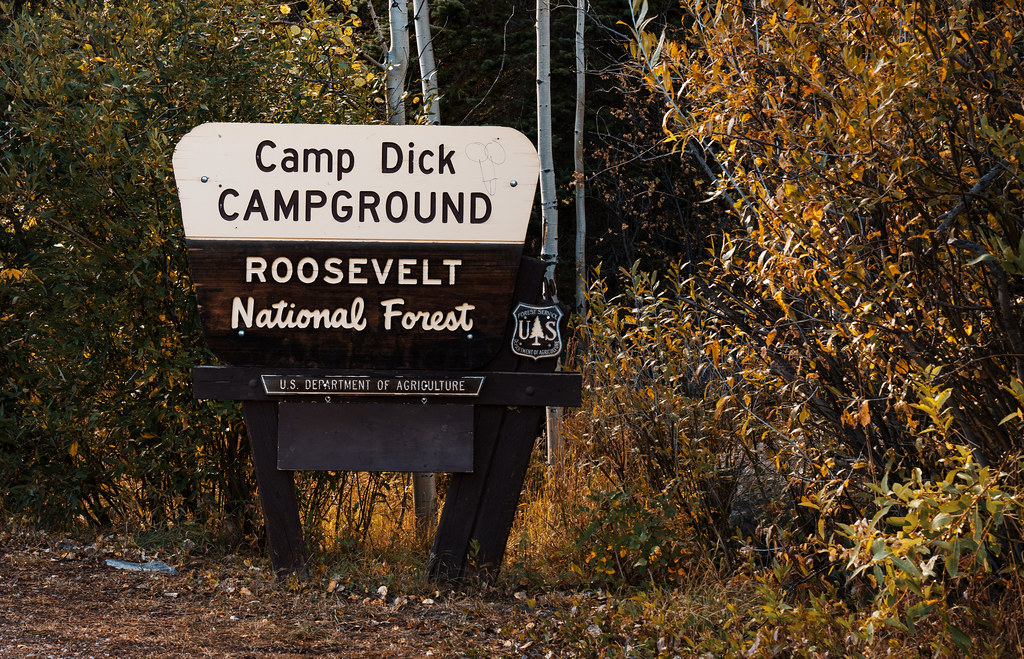 Camp Dick CampgroundCampingPhoto: Tony Webster — CC BY-SA 2.0 (via Flickr)3.5 mi
Source: Roamze catalog (indexable pages within 10 miles, PostGIS distance)
 Sourdough TrailHiking · ~1 min drivePhoto: KimonBerlin, CC BY-SA 2.0 (via Flickr)
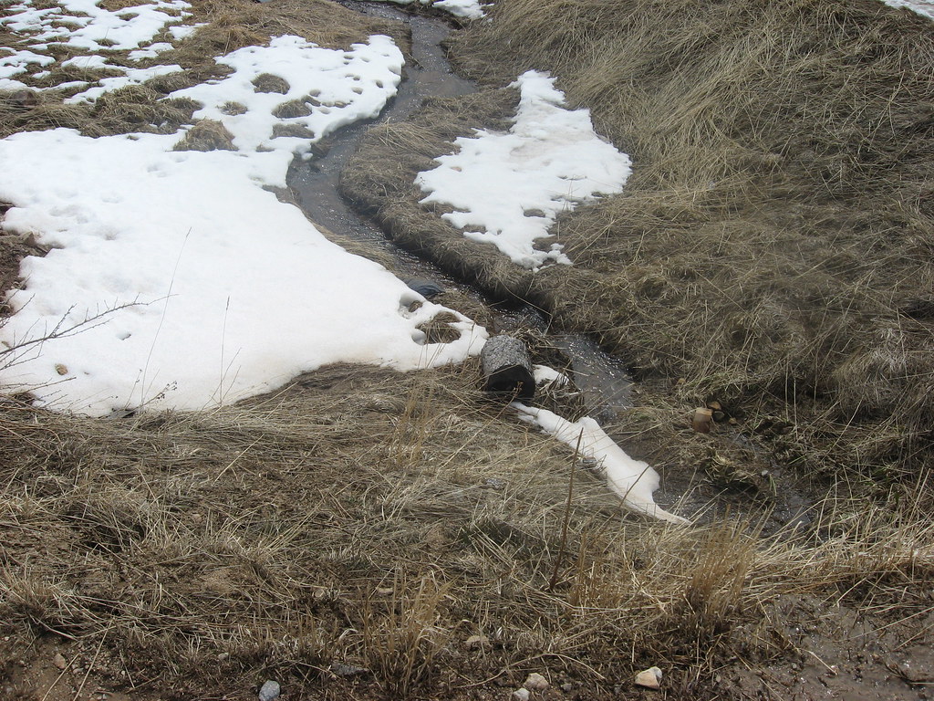 Switzerland TrailHiking · ~2 min drivePhoto: jamieotterbein, CC BY-SA 2.0 (via Flickr)
 Kiowa PeakHiking · ~5 min drivePhoto: matthewevans1991, CC BY-SA 2.0 (via Flickr)
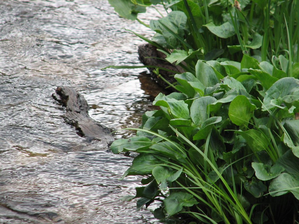 Isabelle GlacierHiking · ~7 min drivePhoto: Ben Makuh, CC BY-SA 2.0 (via Flickr)
 Niwot MountainHiking · ~2 min drivePhoto: jonathan c. wheeler, CC BY-SA 3.0 (via Wikimedia Commons)
 BaptisteHiking · ~3 min drivePhoto: KimonBerlin, CC BY-SA 2.0 (via Flickr)
 Paiute PeakHiking · ~4 min drivePhoto: jonathan c. wheeler, CC BY-SA 3.0 (via Wikimedia Commons)
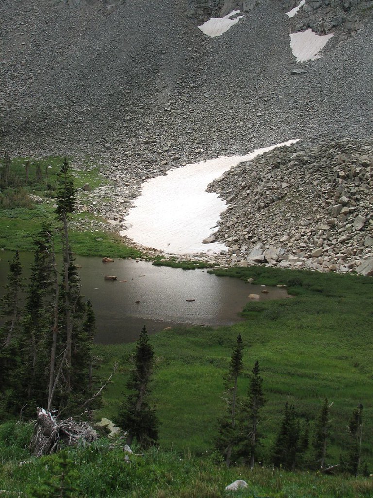 Little Blue Lake RouteHiking · ~8 min drivePhoto: Ben Makuh, CC BY-SA 2.0 (via Flickr)Brainard Lake Cutoff TrailHiking · ~4 min drivePhoto: jonathan c. wheeler, CC BY-SA 3.0 (via Wikimedia Commons)BRAINARD LAKE CUTOFFHiking · ~3 min drivePhoto: jonathan c. wheeler, CC BY-SA 3.0 (via Wikimedia Commons)
Best months: June and September. Best months have typical highs of 55–85 °F, lows of 30 °F or warmer (32 °F where the station doesn't record snow), at most one snowy day and no more than 12 wet days.
Jan
29° / 12°
15 wet
Feb
28° / 11°
16 wet
Mar
36° / 17°
16 wet
Apr
40° / 22°
17 wet
May
50° / 29°
16 wet
Jun
62° / 36°
12 wet
Jul
68° / 43°
14 wet
Aug
66° / 41°
13 wet
Sep
59° / 34°
10 wet
Oct
47° / 26°
10 wet
Nov
35° / 19°
12 wet
Dec
28° / 12°
15 wet
Typical high / low (°F) and days with rain or snow, 1991–2020. Measured at Boulder 14 W, CO, 3.1 mi away at 9,828 ft. This station doesn't record snowfall. Source: NOAA NCEI U.S. Climate Normals 1991–2020.

