Beaver Reservoir Dispersed Camping
Campground
Campground · 0.9 mi from the trail
 Photo: KimonBerlin, CC BY-SA 2.0 (via Flickr)
Caution today
Agency alerts are in effect for this area; weather is good · USFS, OpenWeather · checked 9 h ago
Alert in the area
The Forest Service lists 3 alerts for Arapaho and Roosevelt National Forests.
Fire Restrictions
Agency alert covering Arapaho and Roosevelt National Forests · USFS · Arapaho and Roosevelt National Forests
Caribou Road Closure Order
Agency alert covering Boulder Ranger District · Order 02-10-01-26-04 · USFS · Boulder Ranger District
Raptor Nesting Area Closure - Boulder Ranger District
Agency alert covering Boulder Ranger District · Order 02-10-01-26-06 · USFS · Boulder Ranger District
As of · Source: USFS · Arapaho and Roosevelt National Forests. Agencies don't list every closure — check before you go.
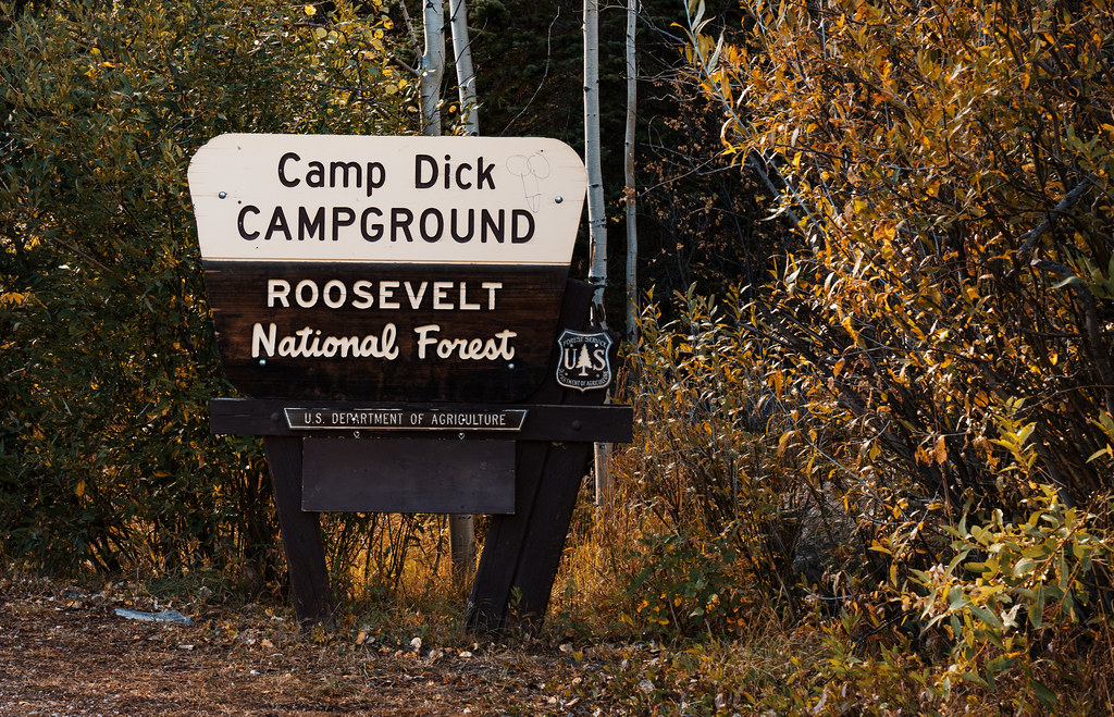
Baptiste is an easy hike of about 1.5 miles in the Boulder Ranger District of the Arapaho and Roosevelt National Forests in Colorado, managed by the Forest Service. The trail is an out-and-back with a low point of about 9,366 feet and a high of about 9,478 feet, and it gains about 112 feet of elevation. The trail surface is natural, and horses are allowed. That makes it a simple outing for hikers and riders alike. Summer is the most comfortable time to go. Typical averages from a nearby weather station show July highs around 68°F with lows near 43°F, while winter highs stay in the 20s. The Wapiti mountain biking trail is about half a mile away, and the South Saint Vrain trail is about a mile off. Camp Dick Campground and the Warm-up Area climbing spot are both about 1.7 miles away.
Beaver Reservoir Dispersed Camping
Campground
Meadow Mountain Cafe
Restaurant
 If it rainsMatt Golon, CC BY-SA 3.0 · Wikimedia Commons
Places © OpenStreetMap contributors · Photos: Matt Golon, CC BY-SA 3.0 (commons)
More in Estes ParkNot on Roamze yet. Their page has how to reach them.
Best months: June and September. Best months have typical highs of 55–85 °F, lows of 30 °F or warmer (32 °F where the station doesn't record snow), at most one snowy day and no more than 12 wet days.
Jan
29° / 12°
15 wet
Feb
28° / 11°
16 wet
Mar
36° / 17°
16 wet
Apr
40° / 22°
17 wet
May
50° / 29°
16 wet
Jun
62° / 36°
12 wet
Jul
68° / 43°
14 wet
Aug
66° / 41°
13 wet
Sep
59° / 34°
10 wet
Oct
47° / 26°
10 wet
Nov
35° / 19°
12 wet
Dec
28° / 12°
15 wet
Typical high / low (°F) and days with rain or snow, 1991–2020. Measured at Boulder 14 W, CO, 5 mi away at 9,828 ft. This station doesn't record snowfall. Source: NOAA NCEI U.S. Climate Normals 1991–2020.
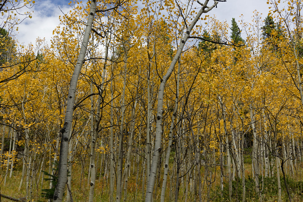 Photo: KimonBerlin, CC BY-SA 2.0 (via Flickr)
Wapiti
~2 min drive
Wapiti is a 2.65-mile out-and-back trail in Colorado with 54 feet of elevation gain.
 Photo: KimonBerlin, CC BY-SA 2.0 (via Flickr)
Sourdough Trail
~2 min drive
1.0-mile out-and-back trail in Colorado with 268 ft elevation gain and loss.
 Photo: PACarlson, CC BY 2.0 (via Flickr)
Beaver Creek
~6 min drive
13.81-mile out-and-back trail in Colorado with 1,094 ft elevation gain.
 Photo: matthewevans1991, CC BY-SA 2.0 (via Flickr)
Kiowa Peak
~6 min drive
Route to the summit of Kiowa Peak (13,156 ft) from Long Lake Trailhead.
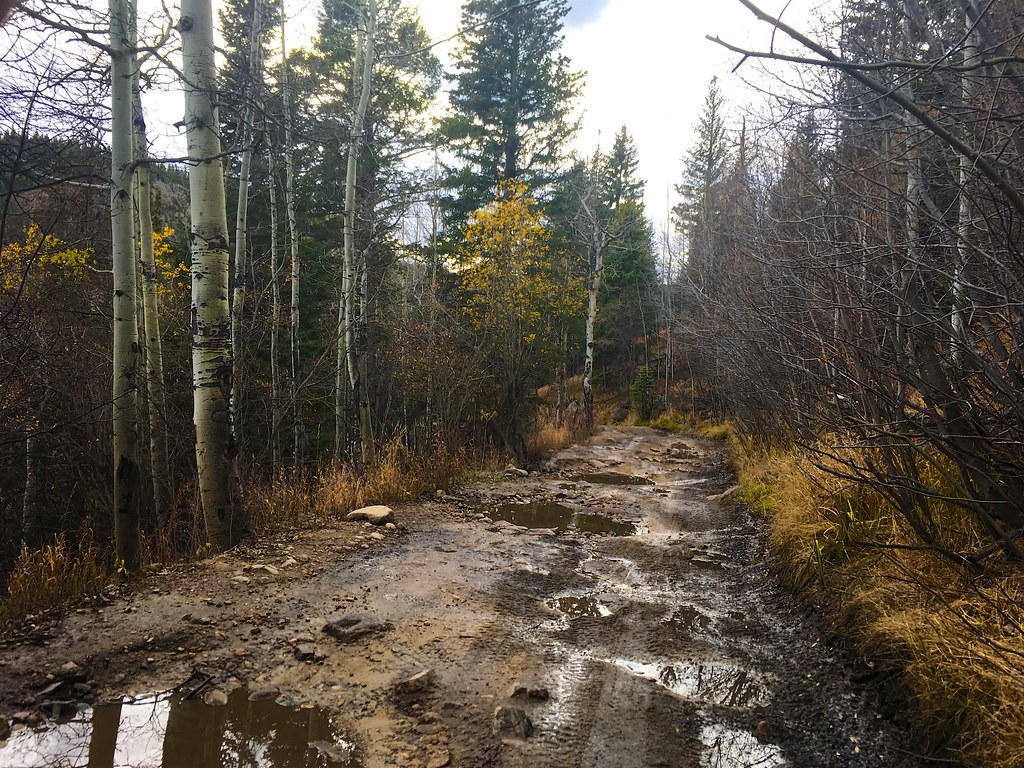 Photo: Nina Stawski, CC BY 2.0 (via Flickr)
BEAVER RESERVOIR CUTOFF
~2 min drive
1.46-mile out-and-back trail with 401 ft elevation gain in Colorado.
 Photo: Niranjan Arminius, CC BY-SA 4.0 (via Wikimedia Commons)
Beaver Reservoir Cutoff Trail
~2 min drive
1.38-mile out-and-back trail with 435 ft elevation gain in Colorado.
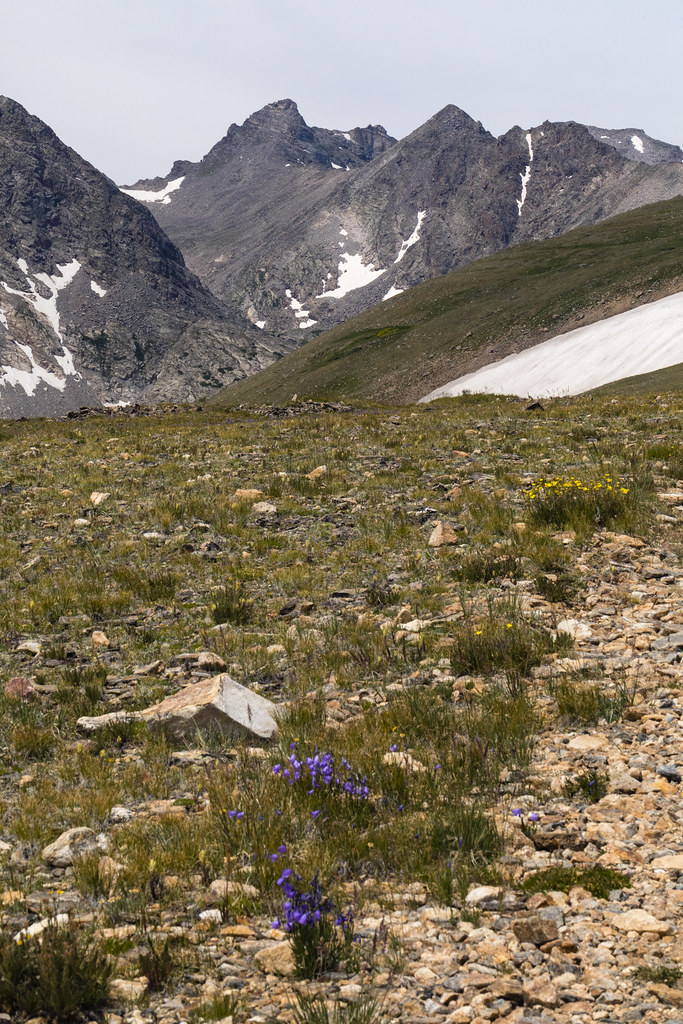 Photo: John Game, CC BY 2.0 (via Flickr)
Niwot Ridge
~8 min drive
5.29-mile out-and-back trail on Niwot Ridge in Colorado, 906 ft elevation gain.
Photo: matthewevans1991, CC BY-SA 2.0 (via Flickr)Apache Peak
~6 min drive
Route to the summit of Apache Peak (13,442 ft) from Long Lake Trailhead.
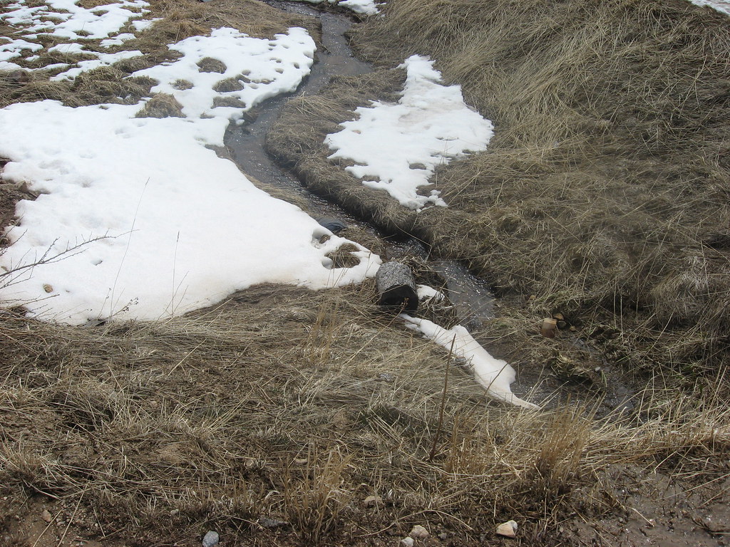 Photo: jamieotterbein, CC BY-SA 2.0 (via Flickr)
Switzerland Trail
~4 min drive
Switzerland Trail is a 1.19-mile trail in Colorado with 200 feet of elevation gain.
Photo: Nina Stawski, CC BY 2.0 (via Flickr)Buchannan Pass Trail
~3 min drive
11 mi · Moderate
Map and trail data © OpenStreetMap contributors