Warm-up Area
Warm-up Area is a bouldering crag in Colorado with 5 routes.
- 5 routes
- V0+ – V5
- Bouldering
Is Warm-up Area open right now?
Alert in the area
The Forest Service lists 3 alerts for Arapaho and Roosevelt National Forests.
Fire Restrictions
Agency alert covering Arapaho and Roosevelt National Forests · USFS · Arapaho and Roosevelt National Forests
Caribou Road Closure Order
Agency alert covering Boulder Ranger District · Order 02-10-01-26-04 · USFS · Boulder Ranger District
Raptor Nesting Area Closure - Boulder Ranger District
Agency alert covering Boulder Ranger District · Order 02-10-01-26-06 · USFS · Boulder Ranger District
As of · Source: USFS · Arapaho and Roosevelt National Forests. Agencies don't list every closure — check before you go.
Best time to visit Warm-up Area
Best months: May–September. Best months have typical highs of 55–85 °F, lows of 30 °F or warmer (32 °F where the station doesn't record snow), at most one snowy day and no more than 12 wet days.
Jan
32° / 14°
Feb
35° / 15°
Mar
42° / 20°
Apr
46° / 23°
May
56° / 32°
Jun
69° / 38°
Jul
74° / 44°
Aug
73° / 43°
Sep
66° / 36°
Oct
52° / 29°
Nov
41° / 20°
Dec
33° / 14°
Typical high / low (°F) and days with rain or snow, 1991–2020. Measured at Allenspark 3nw, CO, 6.8 mi away at 8,500 ft. This station doesn't record snowfall. Source: NOAA NCEI U.S. Climate Normals 1991–2020.
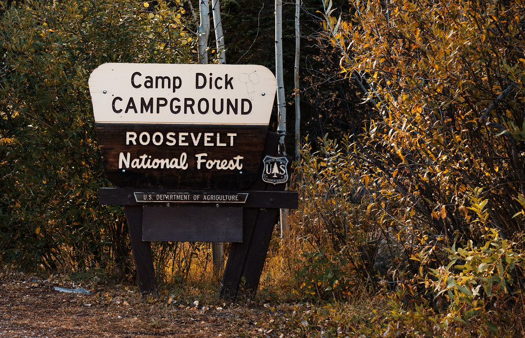
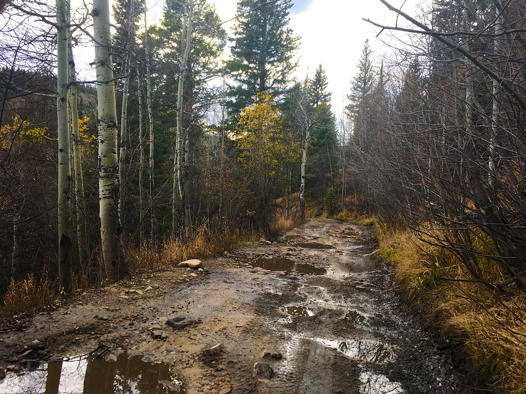
Warm-up Area is a climbing area in the Boulder Ranger District of the Arapaho and Roosevelt National Forests in Colorado, managed by the Forest Service. It sits within the Boulder Ranger District, about 0.3 miles from the Buchannan Pass Trail and 0.7 miles from Camp Dick Campground. Summer is the most comfortable time to visit. Typical averages from a nearby weather station at Allenspark run to highs around 74°F in July with lows near 44°F, while winter highs stay around freezing. Camp Dick Campground and Camp Dick, another climbing area, are both within a mile. Peaceful Valley Campground is about 1.4 miles away, and Middle Saint Vrain Creek offers paddling roughly 1.9 miles off.
Keep exploring — more climbs worth the drive
 Photo: jamieotterbein, CC BY-SA 2.0 (via Flickr)
Powerline Alcove
~4 min drive
Powerline Alcove in Colorado has 8 routes across 5 grades, offering sport and trad climbing.
 Photo: jamieotterbein, CC BY-SA 2.0 (via Flickr)
South-southwest Face (aka Santa Rita Wall)
~4 min drive
South-southwest Face (aka Santa Rita Wall) in Colorado has 4 sport climbing routes on 4 difficulty grades.
Photo: jamieotterbein, CC BY-SA 2.0 (via Flickr)Black Dog Wall
~4 min drive
Black Dog Wall in Colorado has 5 traditional climbing routes across 5 grades.
 Photo: Dave Snowden, CC BY-SA 2.0 (via Flickr)
Scarpa Pizzo
~6 min drive
Scarpa Pizzo in Colorado has 6 climbing routes with 3 difficulty grades in mixed, sport, and trad styles.
 Photo: Dave Snowden, CC BY-SA 2.0 (via Flickr)
The Cays
~7 min drive
Cays, The is a 2-route climbing area in Colorado with mixed protection.
 Photo: tehchad25, CC BY 2.0 (via Flickr)
Ship's Prow
~16 min drive
Ship's Prow in Colorado has 21 climbing routes with 16 difficulty grades.
 Photo: davidwilson1949, CC BY 2.0 (via Flickr)
Keyboard of the Winds
~16 min drive
Keyboard of the Winds is a climbing area in Colorado with 8 routes.
Photo: davidwilson1949, CC BY 2.0 (via Flickr)Long's Peak
~16 min drive
Long's Peak in Colorado has 8 climbing routes with 5 difficulty grades.
 Photo: tehchad25, CC BY 2.0 (via Flickr)
Lower East Face
~16 min drive
Lower East Face in Colorado has 12 routes with 11 difficulty grades.
 Photo: davidwilson1949, CC BY 2.0 (via Flickr)
Pagoda Mountain
~16 min drive
Pagoda Mountain in Colorado has 6 climbing routes with alpine no fixed protection.