Pawnee Campground
Campground
Campground · 0.5 mi from the trail
 Photo: jonathan c. wheeler, CC BY-SA 3.0 (via Wikimedia Commons)
Alert in the area
The Forest Service lists 3 alerts for Arapaho and Roosevelt National Forests.
Fire Restrictions
Agency alert covering Arapaho and Roosevelt National Forests · USFS · Arapaho and Roosevelt National Forests
Caribou Road Closure Order
Agency alert covering Boulder Ranger District · Order 02-10-01-26-04 · USFS · Boulder Ranger District
Raptor Nesting Area Closure - Boulder Ranger District
Agency alert covering Boulder Ranger District · Order 02-10-01-26-06 · USFS · Boulder Ranger District
As of · Source: USFS · Arapaho and Roosevelt National Forests. Agencies don't list every closure — check before you go.
Brainard Lake Cutoff is a short, easy out-and-back hike in the Indian Peaks Wilderness, part of the Boulder Ranger District of the Arapaho and Roosevelt National Forests in Colorado. The Forest Service manages the land, and the trail sits within designated wilderness. The route is about 1.2 miles long, with a total climb of 220 feet and a high point of 10,385 feet. The climb is front-loaded, with the steepest stretch at about 0.27 miles in, and the trail returns to its starting elevation of 10,311 feet. Summer is the most comfortable time to go. Typical averages from a nearby weather station in Boulder show July highs around 68°F and lows near 43°F, while winter highs stay in the 20s. Pawnee Campground is about half a mile away, and the South Saint Vrain mountain biking trail is about 0.2 miles off. Climbers can head to Camp Dick, about 3.5 miles away, and paddlers to Middle Saint Vrain Creek, about 5.5 miles away.
Pawnee Campground
Campground
Marrocco's Family Dining
Italian restaurant
 If it rainsMatt Golon, CC BY-SA 3.0 · Wikimedia Commons
Places © OpenStreetMap contributors, Places © Overture Maps Foundation · Photos: Matt Golon, CC BY-SA 3.0 (commons)
More in Estes ParkNot on Roamze yet. Their page has how to reach them.
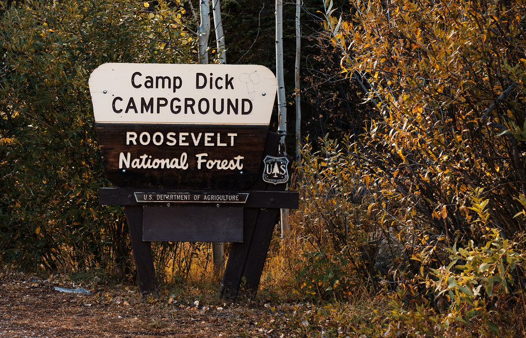 Camp Dick CampgroundCampingPhoto: Tony Webster — CC BY-SA 2.0 (via Flickr)4 mi
Source: Roamze catalog (indexable pages within 10 miles, PostGIS distance)
 Brainard Lake Cutoff TrailHiking · Next doorPhoto: jonathan c. wheeler, CC BY-SA 3.0 (via Wikimedia Commons)
 Beaver CreekHiking · ~1 min drivePhoto: PACarlson, CC BY 2.0 (via Flickr)Paiute PeakHiking · ~1 min drivePhoto: jonathan c. wheeler, CC BY-SA 3.0 (via Wikimedia Commons)
 NIWOT CUTOFFHiking · ~1 min drivePhoto: MikeLapidakis, CC BY-SA 2.0 (via Flickr)Mount AudubonHiking · ~2 min drivePhoto: jonathan c. wheeler, CC BY-SA 3.0 (via Wikimedia Commons)
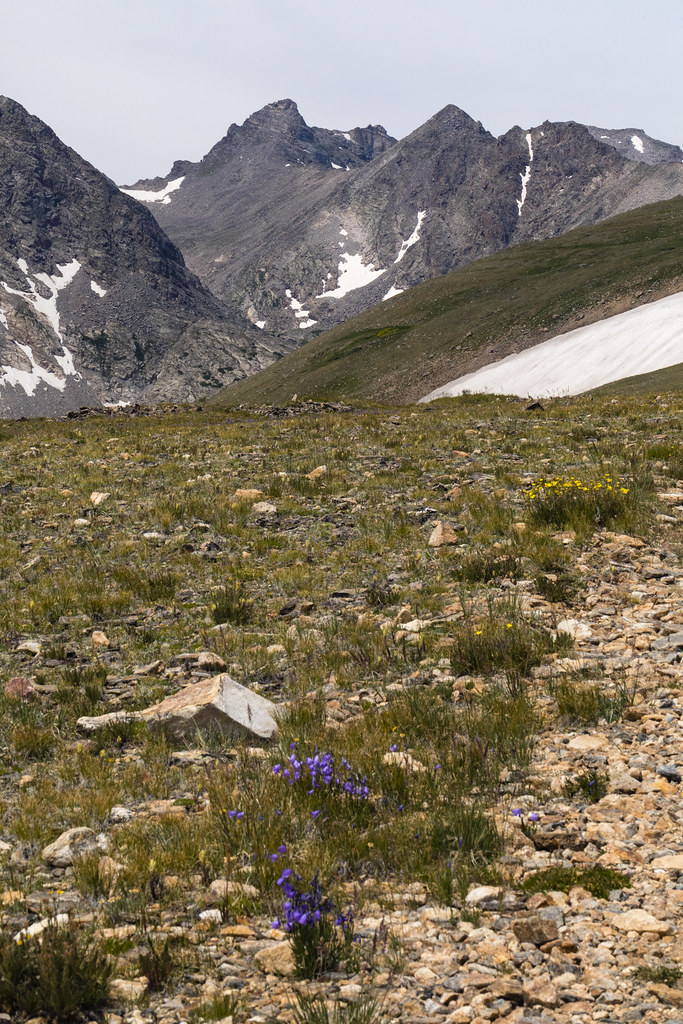 Niwot RidgeHiking · ~4 min drivePhoto: John Game, CC BY 2.0 (via Flickr)
 Kiowa PeakHiking · ~2 min drivePhoto: matthewevans1991, CC BY-SA 2.0 (via Flickr)Jean LunningHiking · ~2 min drivePhoto: matthewevans1991, CC BY-SA 2.0 (via Flickr)Niwot MountainHiking · ~2 min drivePhoto: jonathan c. wheeler, CC BY-SA 3.0 (via Wikimedia Commons)
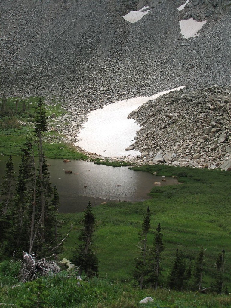 Little Blue Lake RouteHiking · ~4 min drivePhoto: Ben Makuh, CC BY-SA 2.0 (via Flickr)
Best months: June and September. Best months have typical highs of 55–85 °F, lows of 30 °F or warmer (32 °F where the station doesn't record snow), at most one snowy day and no more than 12 wet days.
Jan
29° / 12°
15 wet
Feb
28° / 11°
16 wet
Mar
36° / 17°
16 wet
Apr
40° / 22°
17 wet
May
50° / 29°
16 wet
Jun
62° / 36°
12 wet
Jul
68° / 43°
14 wet
Aug
66° / 41°
13 wet
Sep
59° / 34°
10 wet
Oct
47° / 26°
10 wet
Nov
35° / 19°
12 wet
Dec
28° / 12°
15 wet
Typical high / low (°F) and days with rain or snow, 1991–2020. Measured at Boulder 14 W, CO, 3.8 mi away at 9,828 ft. The station sits about 600 ft lower than this place, so expect it a little cooler here. This station doesn't record snowfall. Source: NOAA NCEI U.S. Climate Normals 1991–2020.

