Pawnee Campground
Campground
Campground · 2.6 mi from the trail
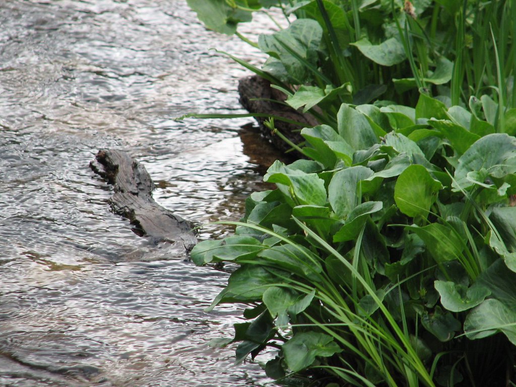 Photo: Ben Makuh, CC BY-SA 2.0 (via Flickr)
Alert in the area
The Forest Service lists 3 alerts for Arapaho and Roosevelt National Forests.
Fire Restrictions
Agency alert covering Arapaho and Roosevelt National Forests · USFS · Arapaho and Roosevelt National Forests
Caribou Road Closure Order
Agency alert covering Boulder Ranger District · Order 02-10-01-26-04 · USFS · Boulder Ranger District
Raptor Nesting Area Closure - Boulder Ranger District
Agency alert covering Boulder Ranger District · Order 02-10-01-26-06 · USFS · Boulder Ranger District
As of · Source: USFS · Arapaho and Roosevelt National Forests. Agencies don't list every closure — check before you go.
Isabelle Glacier is a hard hike in Colorado's Indian Peaks Wilderness, within the Boulder Ranger District of the Arapaho and Roosevelt National Forests. The route is an out-and-back of about 4.5 miles, with a one-way elevation gain of 1,120 feet, taking you from a low point of about 10,910 feet to a high point of about 12,036 feet. The trail is on natural surface, and the Forest Service does not allow bikes or horses. The open season runs from June 1 to October 31. Pawnee Pass and the Jean Lunning mountain biking trail both lie about a mile away. Shoshoni Peak is about 1.3 miles off, and Pawnee Campground is about 2.6 miles away.
Pawnee Campground
Campground
 If it rainsMatt Golon, CC BY-SA 3.0 · Wikimedia Commons
Places © OpenStreetMap contributors · Photos: Matt Golon, CC BY-SA 3.0 (commons)
More in Estes ParkNot on Roamze yet. Their page has how to reach them.
 Photo: Steven Bratman, CC BY 2.0 (via Wikimedia Commons)
Pawnee Pass
~2 min drive
15.66-mile out-and-back trail in Colorado with 3,637 ft elevation gain.
Photo: Steven Bratman, CC BY 2.0 (via Wikimedia Commons)Shoshoni Summit Route
~2 min drive
1.66-mile out-and-back trail in Colorado with 854 ft elevation gain.
 Photo: matthewevans1991, CC BY-SA 2.0 (via Flickr)
Jean Lunning
~3 min drive
2.82-mile out-and-back trail in Colorado with 113 ft elevation gain.
 Photo: jonathan c. wheeler, CC BY-SA 3.0 (via Wikimedia Commons)
Paiute Peak
~3 min drive
Route to the summit of Paiute Peak (13,012 ft) from Niwot Picnic Area.
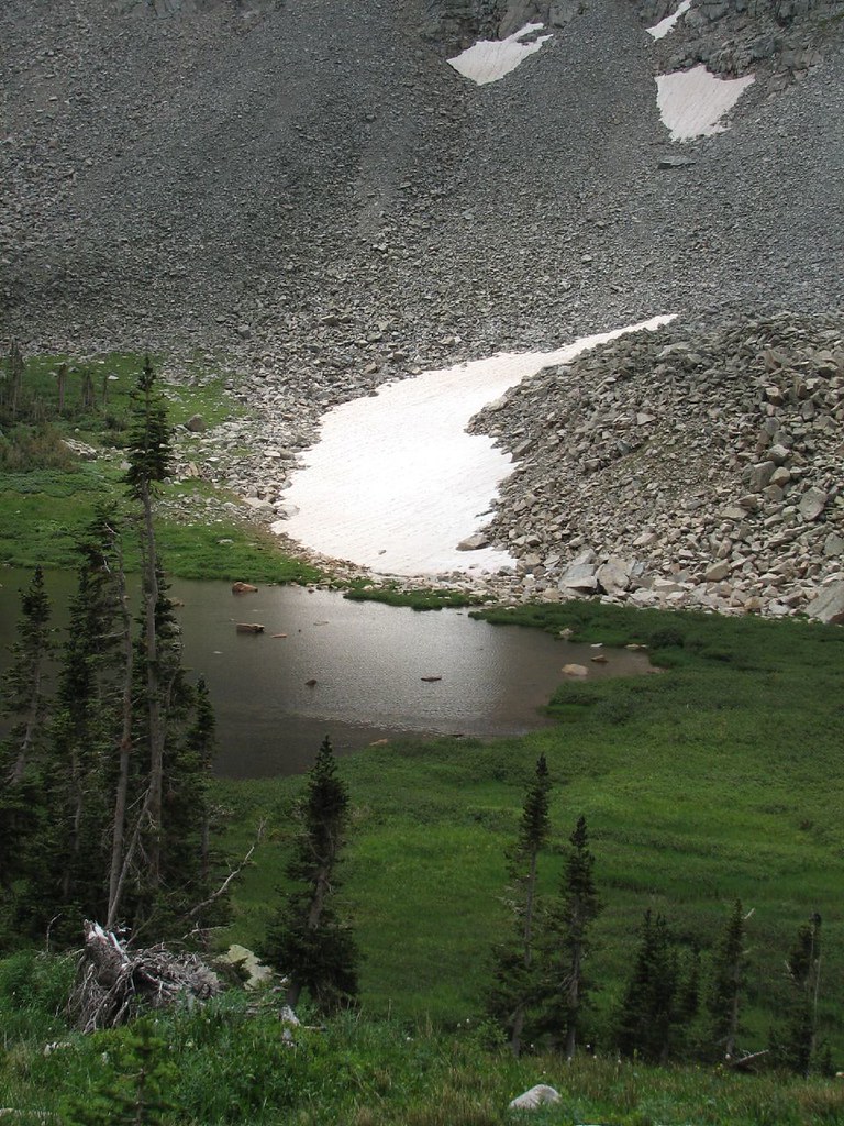 Photo: Ben Makuh, CC BY-SA 2.0 (via Flickr)
Little Blue Lake Route
~2 min drive
1.42-mile out-and-back trail to Little Blue Lake in Colorado with 968 ft gain
Photo: Steven Bratman, CC BY 2.0 (via Wikimedia Commons)Pawnee Peak
~2 min drive
0.8-mile out-and-back to Pawnee Peak in Colorado with 403 ft gain
 Photo: matthewevans1991, CC BY-SA 2.0 (via Flickr)
Niwot Cutoff Trail
~3 min drive
1.22-mile out-and-back trail in Colorado with 440 ft elevation gain
 Photo: Greg Willis, CC BY-SA 3.0 (via Wikimedia Commons)
Old Baldy
~9 min drive
Route to the summit of Old Baldy (13,038 ft) from Fourth of July Trailhead.
 Photo: PACarlson, CC BY 2.0 (via Flickr)
Beaver Creek
~3 min drive
13.81-mile out-and-back trail in Colorado with 1,094 ft elevation gain.
Photo: PACarlson, CC BY 2.0 (via Flickr)Mitchell Lake
~3 min drive
4.96-mile out-and-back hike to Mitchell Lake in Colorado at 11,367 ft.
Also worth it near here
