Ute Pass Trail
- 6.7 mi
- round trip
- 1,929 ft
- climb
- 11,223 ft
- high point
- Out and back
- route
Caution at last check
Agency alerts are in effect for this area; weather is good · USFS, OpenWeather · checked 17 h ago
Is Ute Pass Trail open right now?
Alert in the area
The Forest Service lists 3 alerts for Medicine Bow-Routt National Forest.
Access Impact: Big Creek Lakes Dam Project
Agency alert covering Medicine Bow-Routt National Forest · USFS · Medicine Bow-Routt National Forest
Trail & Access Impact: Stillwater Reservoir Project
Agency alert covering Medicine Bow-Routt National Forest · USFS · Medicine Bow-Routt National Forest
Snowy Range - 2026 Active Vegetation Operations
Agency alert covering Medicine Bow-Routt National Forest · USFS · Medicine Bow-Routt National Forest
As of · Source: USFS · Medicine Bow-Routt National Forest. Agencies don't list every closure — check before you go.
Ute Pass Trail is a 6.7-mile out-and-back hike in Colorado's Medicine Bow-Routt National Forest, within the Parks Ranger District. The route rises from a low point of 8,995 feet to a high of 11,223 feet, with a total elevation gain of 1,929 feet. The Forest Service manages the land, and the trail is rated moderate. The trail is natural-surfaced and allows horses, so riders can take it as well as hikers. It is open year-round, and the climb is spread across the full length of the route rather than concentrated in one stretch. Nearby, the Grizzly Helena Trail 1126.1 lies about a mile away, and Twin Lakes and Bear Lakes are both within a couple of miles. For an overnight stay, Lake John Campsite is about 5.8 miles off.
Local outfitters
- Deer Haven RV Park47 mi away
Not on Roamze yet. Their page has how to reach them.
- Grizzly Helena Trail 1126.1Hiking1.1 mi
- Twin LakesHiking1.6 mi
 Bear LakesHikingPhoto: brewbooks from near Seattle, USA, CC BY-SA 2.0 (via Wikimedia Commons)2.2 mi
- North Fork North Platte RiverCanoeing4.6 mi
- Mica BasinRock climbing5.4 mi
- Lake John CampsiteCamping5.8 mi
- Roaring ForkCanoeing7.3 mi
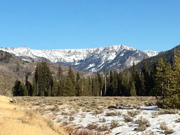 Seedhouse Group Site - Medicine-Bow Routt NF (CO)CampingPhoto: Recreation.gov (RIDB) / public domain7.5 mi
Source: Roamze catalog (indexable pages within 10 miles, PostGIS distance)
- Bear LakesHiking · ~4 min drivePhoto: brewbooks from near Seattle, USA, CC BY-SA 2.0 (via Wikimedia Commons)
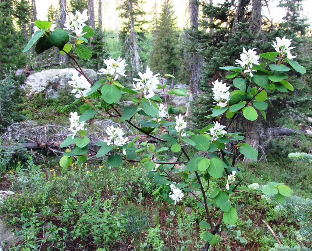 Mica BasinHiking · ~10 min drivePhoto: brewbooks, CC BY-SA 2.0 (via Flickr)
- GilpinHiking · ~10 min drivePhoto: brewbooks, CC BY-SA 2.0 (via Flickr)
- Grizzly-Helena TrailHiking · ~4 min drive
- Grizzly Helena Trail 1126.1Hiking · ~2 min drive
- Wyoming TrailHiking · ~10 min drivePhoto: brewbooks, CC BY-SA 2.0 (via Flickr)
- Lake KatherineHiking · ~6 min drive
- Twin LakesHiking · ~3 min drive
 Three Island LakeHiking · ~11 min drivePhoto: brewbooks, CC BY-SA 2.0 (via Flickr)
- BIGHORN LAKEHiking · ~6 min drive

