Grizzly Helena Trail 1126.1
- 9.5 mi
- distance
- 1,800 ft
- climb
- Moderate
- difficulty
Caution today
Agency alerts are in effect for this area; weather is good · USFS, OpenWeather · checked 7 h ago
Is Grizzly Helena Trail 1126.1 open right now?
Alert in the area
The Forest Service lists 3 alerts for Medicine Bow-Routt National Forest.
Access Impact: Big Creek Lakes Dam Project
Agency alert covering Medicine Bow-Routt National Forest · USFS · Medicine Bow-Routt National Forest
Trail & Access Impact: Stillwater Reservoir Project
Agency alert covering Medicine Bow-Routt National Forest · USFS · Medicine Bow-Routt National Forest
Snowy Range - 2026 Active Vegetation Operations
Agency alert covering Medicine Bow-Routt National Forest · USFS · Medicine Bow-Routt National Forest
As of · Source: USFS · Medicine Bow-Routt National Forest. Agencies don't list every closure — check before you go.
Grizzly Helena Trail 1126.1 is a moderate hike of about 9.5 miles on the Grizzly Helena Trail in Colorado's Medicine Bow-Routt National Forest, within the Parks Ranger District. The route climbs roughly 1,800 feet, and the Forest Service manages the surrounding land. Summer is the most comfortable time to go. Typical averages from a nearby weather station in Walden run to highs around 76°F in July, with lows near 38°F. Winter there is cold, with January highs around 27°F and lows near 2°F. The hike takes about four hours. Several other trails lie within a couple of miles, including the Ute Pass Trail and the Grizzly-Helena Trail. Lake John Campsite is about 5 miles away for an overnight stay.
Local outfitters
- Deer Haven RV Park48 mi away
Not on Roamze yet. Their page has how to reach them.
- Ute Pass TrailHiking1.1 mi
- Grizzly-Helena TrailHiking1.6 mi
- Bear CreekHiking1.6 mi
- North Fork North Platte RiverCanoeing4.1 mi
- Lake John CampsiteCamping5.2 mi
- Roaring ForkCanoeing6.2 mi
- Mica BasinRock climbing6.4 mi
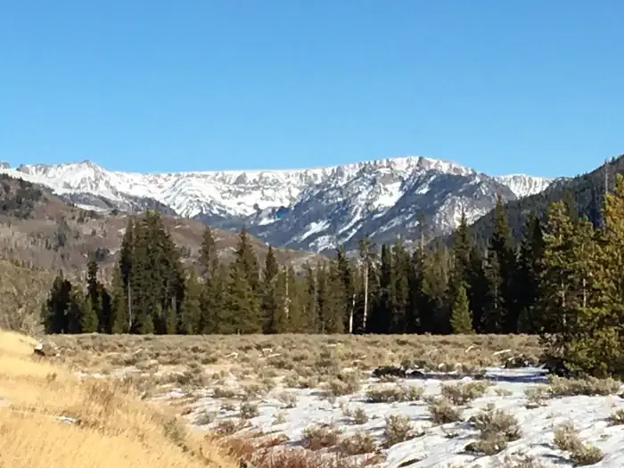 Seedhouse Group Site - Medicine-Bow Routt NF (CO)CampingPhoto: Recreation.gov (RIDB) / public domain7.9 mi
Source: Roamze catalog (indexable pages within 10 miles, PostGIS distance)
 Bear LakesHiking · ~5 min drivePhoto: brewbooks from near Seattle, USA, CC BY-SA 2.0 (via Wikimedia Commons)
 Gold Creek LakeHiking · ~8 min drivePhoto: brewbooks, CC BY-SA 2.0 (via Flickr)
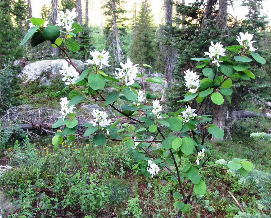 Mica BasinHiking · ~11 min drivePhoto: brewbooks, CC BY-SA 2.0 (via Flickr)
- Lake KatherineHiking · ~6 min drive
- GilpinHiking · ~11 min drivePhoto: brewbooks, CC BY-SA 2.0 (via Flickr)
- Lone PineHiking · ~5 min drive
- BIGHORN LAKEHiking · ~6 min drive
- Wyoming TrailHiking · ~11 min drivePhoto: brewbooks, CC BY-SA 2.0 (via Flickr)
- Blue LakeHiking · ~5 min drive
- Bighorn Lake TrailHiking · ~7 min drive

Map and trail data © OpenStreetMap contributors
