Triad Ridge Single Track
- 6.4 mi
- loop
- 1,303 ft
- climb
- 9,232 ft
- high point
- Loop
- route
- Jun–Aug
- best months
Is TRIAD RIDGE SINGLE TRACK open right now?
Alert in the area
The Forest Service lists 7 alerts for Pike and San Isabel National Forests.
FSR 286, Radical Hill, is closed due to washouts and unsafe conditions
Agency alert covering Pike and San Isabel National Forests · USFS · Pike and San Isabel National Forests
Interlaken Hotel Tree Hazards
Agency alert covering Pike and San Isabel National Forests · USFS · Pike and San Isabel National Forests
Sharpe Fire Update
Agency alert covering Pike and San Isabel National Forests · USFS · Pike and San Isabel National Forests
Turquoise Lake Road (County Road 4) Closure
Agency alert covering Pike and San Isabel National Forests · USFS · Pike and San Isabel National Forests
Food Storage Prohibitions on Pike-San Isabel National Forests
Agency alert covering Pike and San Isabel National Forests · Order 02-12-00-23-07 · USFS · Pike and San Isabel National Forests
As of · Source: USFS · Pike and San Isabel National Forests. Agencies don't list every closure — check before you go.
Triad Ridge Single Track is a 6.4-mile loop in the Salida Ranger District of the Pike and San Isabel National Forests in Colorado, managed by the Forest Service. It is a moderate hike with a total elevation gain of 1,303 feet. The route is a rolling loop that starts and ends at about 9,000 feet, with a high point of 9,232 feet and a low of 8,691 feet. Summer is the most comfortable time to go. Typical July averages from a nearby weather station run to highs around 76°F and lows near 41°F, while winter highs sit around freezing. The steepest stretch comes at about 0.74 miles in, where the grade reaches 20%. The trip takes about three hours. Arnold Gulch Trail lies about a mile away, and Shields Gulch Road offers mountain biking at 1.6 miles. Mushroom Gulch Site 1, about 2 miles off, has camping, and the climbing area at Lilliput is roughly 2.7 miles away.
Go with a guide
- Mineral Belt Trail Guided WalkNexPM AI · $25 per person · 33 mi away
- Mt. Princeton RV Park7 mi away
- ARNOLD GULCH TRAILHiking1.2 mi
- shields gulch roadMountain biking1.6 mi
- Mushroom Gulch Site 1Camping2 mi
- Midland (1450)Mountain biking2.3 mi
- LilliputRock climbing2.7 mi
 Mushroom Gulch Site 2CampingPhoto: Jeffrey Beall, CC BY 4.0 (via Wikimedia Commons)3.2 mi
- The Rock PileRock climbing3.3 mi
- Cottonwood CreekCanoeing8.2 mi
Source: Roamze catalog (indexable pages within 10 miles, PostGIS distance)
 Bacon Bits TrailHiking · ~4 min drivePhoto: Nholifield, CC BY 3.0 (via Wikimedia Commons)
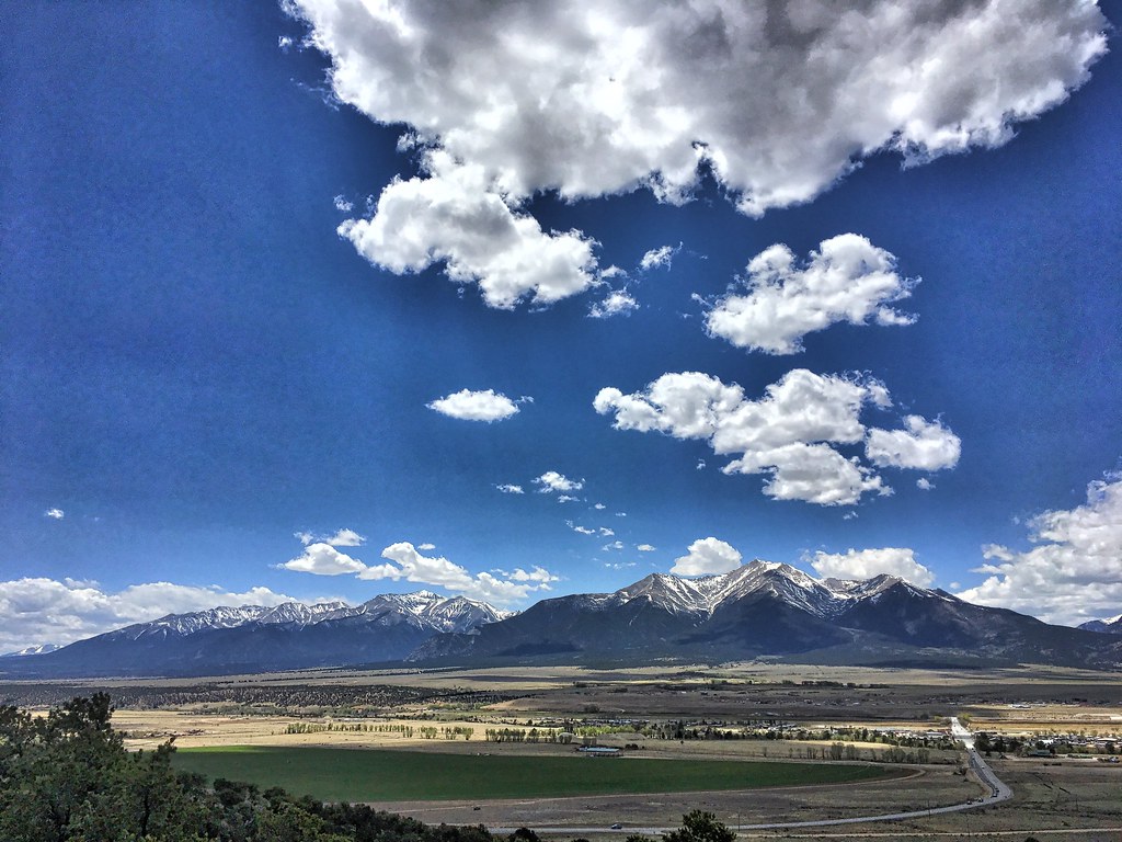 Crank n' Hammer TrailHiking · ~6 min drivePhoto: cogdogblog, Public Domain Dedication (CC0) (via Flickr)
 Mount PrincetonHiking · ~17 min drivePhoto: wohnai, CC BY 2.0 (via Flickr)
 Mt. PrincetonHiking · ~21 min drivePhoto: kalestews, CC BY 2.0 (via Flickr)
- Unchained TrailHiking · ~5 min drivePhoto: Nholifield, CC BY 3.0 (via Wikimedia Commons)
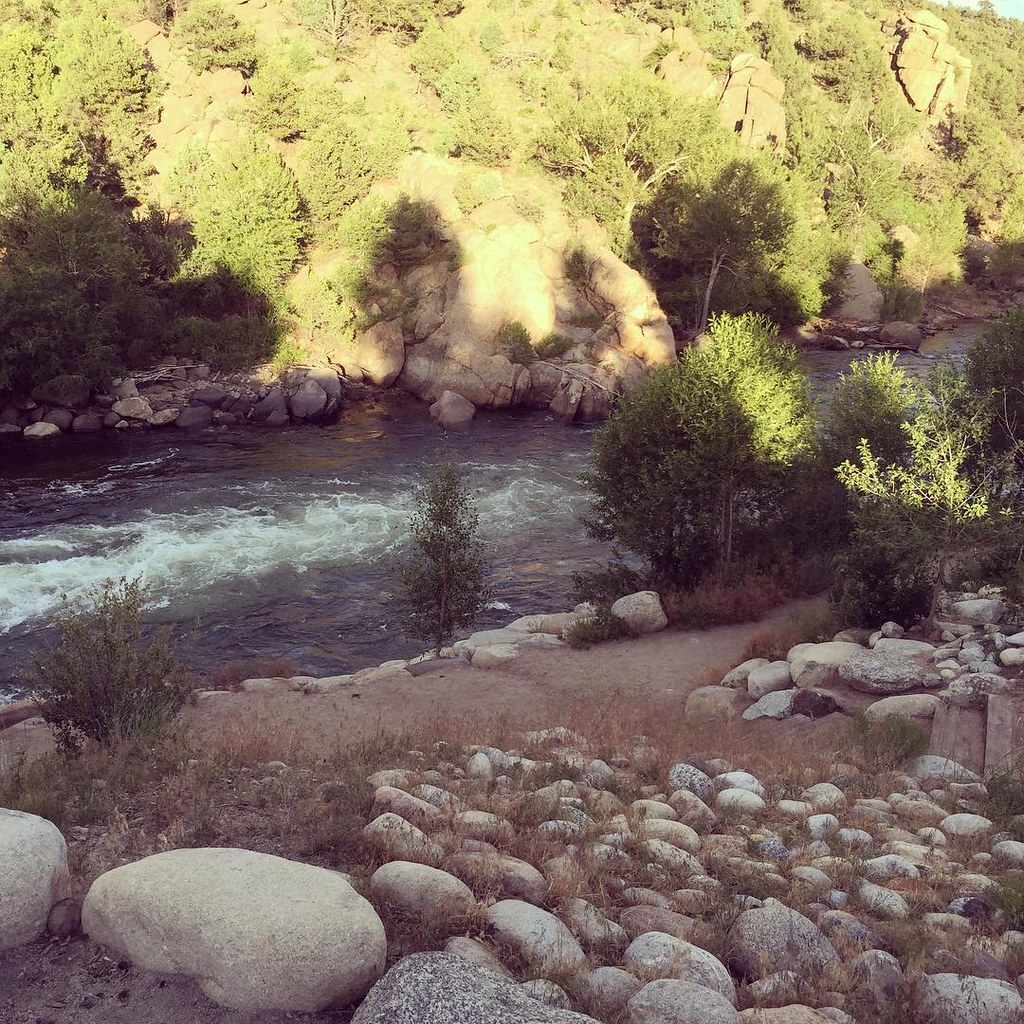 North TrailHiking · ~10 min drivePhoto: JenTravelsLife, CC BY 2.0 (via Flickr)
- Mount WhiteHiking · ~21 min drive
- Tigger PeakHiking · ~18 min drivePhoto: kalestews, CC BY 2.0 (via Flickr)
 Yansing (Chinaman) Gulch Loop Trail 6044Hiking · ~5 min drivePhoto: markbyzewski, CC BY 2.0 (via Flickr)
- BALD MTN SPUR TRAILHiking · ~5 min drive
Best time to visit TRIAD RIDGE SINGLE TRACK
Best months: June–August. Best months have typical highs of 55–85 °F, lows of 30 °F or warmer (32 °F where the station doesn't record snow), at most one snowy day and no more than 12 wet days.
Jan
32° / -4°
4 wet
Feb
34° / -1°
4 wet
Mar
42° / 10°
5 wet
Apr
49° / 19°
6 wet
May
59° / 27°
7 wet
Jun
70° / 34°
7 wet
Jul
76° / 41°
11 wet
Aug
73° / 39°
12 wet
Sep
67° / 30°
7 wet
Oct
55° / 19°
5 wet
Nov
42° / 9°
4 wet
Dec
32° / -2°
4 wet
Typical high / low (°F) and days with rain or snow, 1991–2020. Measured at Antero Rsvr, CO, 14.3 mi away at 8,939 ft. This station doesn't record snowfall. Source: NOAA NCEI U.S. Climate Normals 1991–2020.

