Arnold Gulch Trail
- 2.2 mi
- round trip
- 826 ft
- climb
- 8,866 ft
- high point
- Out and back
- route
- May–Sep
- best months
Is ARNOLD GULCH TRAIL open right now?
Alert in the area
The Forest Service lists 7 alerts for Pike and San Isabel National Forests.
FSR 286, Radical Hill, is closed due to washouts and unsafe conditions
Agency alert covering Pike and San Isabel National Forests · USFS · Pike and San Isabel National Forests
Interlaken Hotel Tree Hazards
Agency alert covering Pike and San Isabel National Forests · USFS · Pike and San Isabel National Forests
Sharpe Fire Update
Agency alert covering Pike and San Isabel National Forests · USFS · Pike and San Isabel National Forests
Turquoise Lake Road (County Road 4) Closure
Agency alert covering Pike and San Isabel National Forests · USFS · Pike and San Isabel National Forests
Food Storage Prohibitions on Pike-San Isabel National Forests
Agency alert covering Pike and San Isabel National Forests · Order 02-12-00-23-07 · USFS · Pike and San Isabel National Forests
As of · Source: USFS · Pike and San Isabel National Forests. Agencies don't list every closure — check before you go.
Arnold Gulch Trail is an easy out-and-back hike in Colorado's Pike and San Isabel National Forests, on the Salida Ranger District. The trail starts at 8,866 feet and reaches a high point of 8,866 feet, so it works as a short loop or a return to the trailhead. The route is 4.4 miles long, and the elevation gain is 826 feet round trip. The steepest stretch comes at about 1 mile, with a 7% grade. The Forest Service manages the land. The most comfortable months for a visit are typically June and September. At a nearby weather station in Buena Vista, typical June averages run to highs around 78°F and lows near 43°F, while September averages about 74°F by day and 40°F at night. That station sits roughly 900 feet lower than the trail, so temperatures on the trail run cooler. The hike takes about two hours. Triad Ridge Single Track lies about a mile away, and Bald Mt. Spur Trail is about 2 miles off. For an overnight, Mushroom Gulch Site 1 is about 2.7 miles away. Climbers can find Castle Rock Gulch about 3.3 miles from the trail.
Go with a guide
- Mineral Belt Trail Guided WalkNexPM AI · $25 per person · 34 mi away
- Mt. Princeton RV Park8 mi away
- TRIAD RIDGE SINGLE TRACKHiking1.2 mi
- BALD MTN SPUR TRAILHiking2.1 mi
- Mushroom Gulch Site 1Camping2.7 mi
- shields gulch roadMountain biking2.7 mi
- Castle Rock GulchRock climbing3.3 mi
- Sunset BouldersRock climbing3.6 mi
 Mushroom Gulch Site 2CampingPhoto: Jeffrey Beall, CC BY 4.0 (via Wikimedia Commons)3.7 mi
- Cottonwood CreekCanoeing9 mi
Source: Roamze catalog (indexable pages within 10 miles, PostGIS distance)
 Yansing (Chinaman) Gulch Loop Trail 6044Hiking · ~6 min drivePhoto: markbyzewski, CC BY 2.0 (via Flickr)
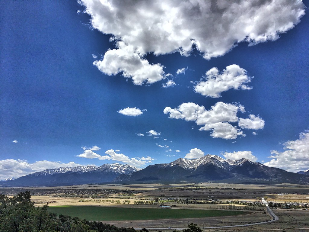 Crank n' Hammer TrailHiking · ~8 min drivePhoto: cogdogblog, Public Domain Dedication (CC0) (via Flickr)
 Mount PrincetonHiking · ~18 min drivePhoto: wohnai, CC BY 2.0 (via Flickr)
 Tigger PeakHiking · ~18 min drivePhoto: kalestews, CC BY 2.0 (via Flickr)
 Bacon Bits TrailHiking · ~6 min drivePhoto: Nholifield, CC BY 3.0 (via Wikimedia Commons)
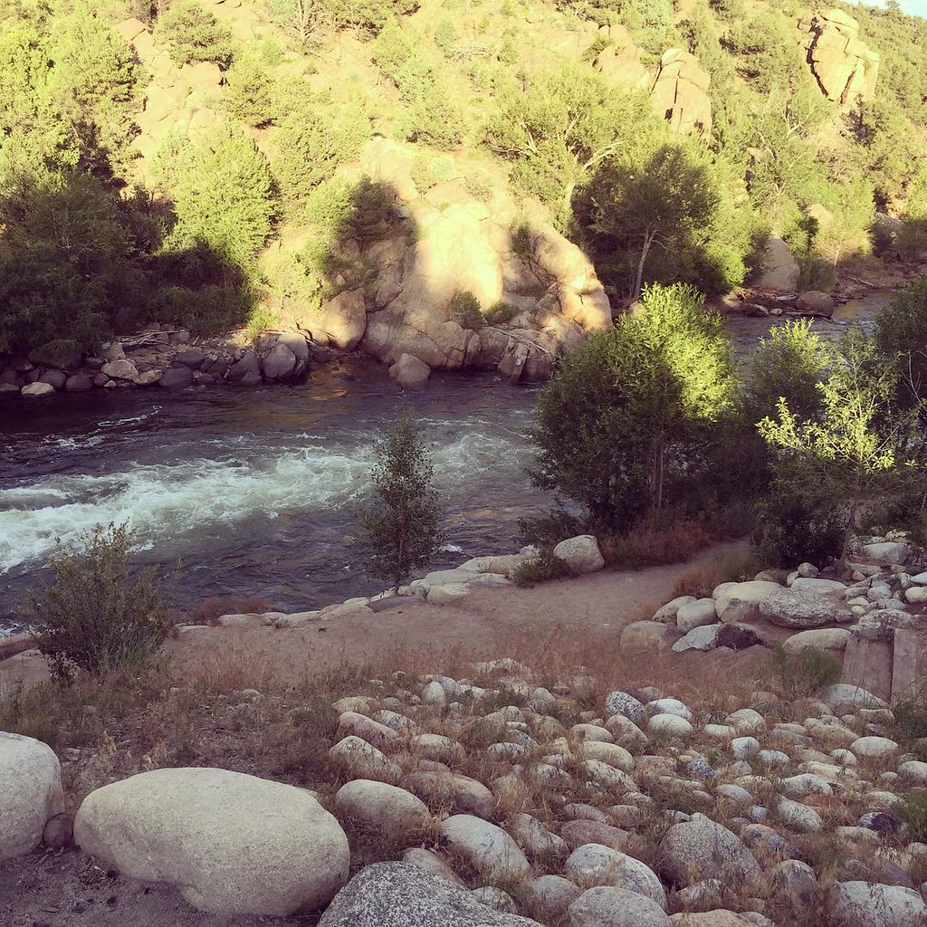 North TrailHiking · ~12 min drivePhoto: JenTravelsLife, CC BY 2.0 (via Flickr)
- Cronin PeakHiking · ~21 min drive
- Mt. PrincetonHiking · ~21 min drivePhoto: kalestews, CC BY 2.0 (via Flickr)
- Unchained TrailHiking · ~6 min drivePhoto: Nholifield, CC BY 3.0 (via Wikimedia Commons)
- TRIAD RIDGE SINGLE TRACKHiking · ~2 min drive
Also worth it near here
 Castle RockSummit · ~5 min drivePhoto: Jeffrey Beall, CC BY 4.0 (via Wikimedia Commons)
- shields gulch roadMountain biking · ~5 min drive
- The FallsWaterfall · ~6 min drive
- Castle Rock GulchRock climbing · ~6 min drive
- Mushroom Gulch Site 2Camping · ~6 min drivePhoto: Jeffrey Beall, CC BY 4.0 (via Wikimedia Commons)
Best time to visit ARNOLD GULCH TRAIL
Best months: May–September. Best months have typical highs of 55–85 °F, lows of 30 °F or warmer (32 °F where the station doesn't record snow), at most one snowy day and no more than 12 wet days.
Jan
41° / 11°
4 wet
Feb
43° / 14°
5 wet
Mar
50° / 21°
6 wet
Apr
56° / 27°
6 wet
May
67° / 36°
7 wet
Jun
78° / 43°
7 wet
Jul
83° / 49°
12 wet
Aug
80° / 47°
12 wet
Sep
74° / 40°
8 wet
Oct
62° / 29°
6 wet
Nov
50° / 20°
5 wet
Dec
40° / 11°
5 wet
Typical high / low (°F) and days with rain or snow, 1991–2020. Measured at Buena Vista 2s, CO, 6.3 mi away at 7,954 ft. The station sits about 900 ft lower than this place, so expect it a little cooler here. This station doesn't record snowfall. Source: NOAA NCEI U.S. Climate Normals 1991–2020.
