

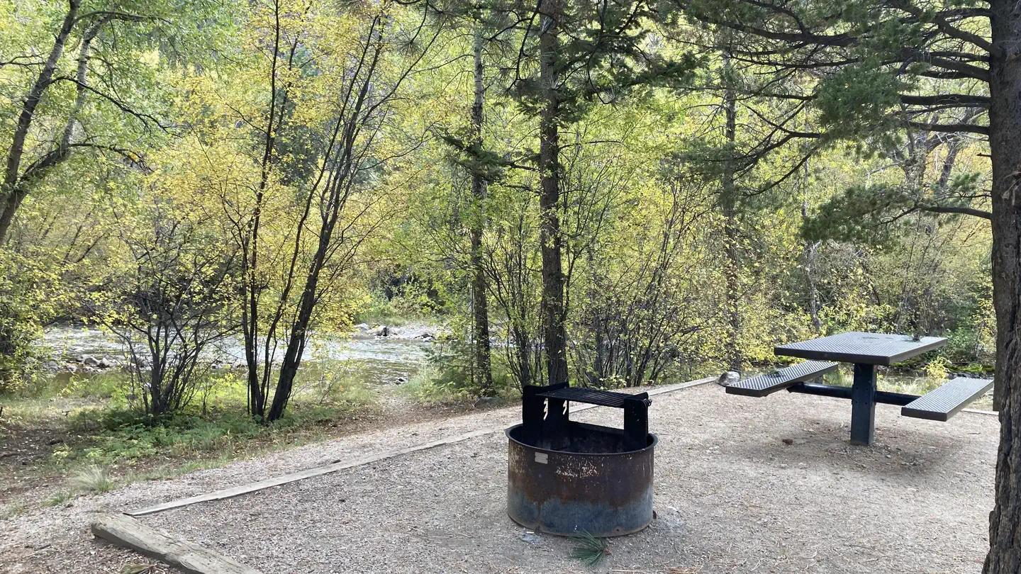

Mt. Princeton RV Park
Hiking business nearby (~9 mi away) — hasn't claimed their Roamze page yet
Free — you'll pick up right here.
Watch this trail
Sign up to watch it — saving subscribes you to gate, closure and report changes.
Colorado
10.1 mi
Distance
4,568 ft
Gain
An agency closure order is in effect for this area; weather is good
2 factors · 2 sources
Newest 4 h ago · oldest 6 d
problem: Agency alerts
114 active alerts in Pike and San Isabel National Forests; most severe: Gold Mountain Wildfire Roads and Trails Closure Order v 4.0
USFS6 d ago
clear: Weather
Clouds, high 63°F / low 34°F, 17% precip — 91/100 for hike
OpenWeather4 h ago
Been out here in the last few days? One report keeps this current for everyone.
Why you'll love it
Mount Princeton
AI-suggested draft · review before you go
No permit or access details on file for this trail — check with the local land manager before you go.
Programmatic route to the summit of Mount Princeton (14,204 ft) from Mt. Princeton Road. Round-trip distance 10.32 mi with 4,568 ft of ascent. Generated via OpenStreetMap trails + OpenRouteService foot-hiking routing.

Mt. Princeton
~4 min drive
4.0 mi · Easy

Narrow Gauge
~4 min drive
4.4 mi · Moderate

Three Elk
~18 min drive
6.2 mi · Hard
Mount Yale
~12 min drive
Standard route to Mount Yale (14,200 ft) from Denny Creek.
Bunny's Trail
~19 min drive
1.7 mi · Easy

Lost Lake
~22 min drive
3.5 mi · Moderate

Midland Bike Trail
~22 min drive
39 mi · Hard
Mount Columbia
~17 min drive
Standard route to Mount Columbia (14,077 ft) from North Cottonwood Creek.

Alpine Tunnel
~24 min drive
1.7 mi · Easy
Wagon Loop Trail
~9 min drive
3.7 mi · Moderate
Local operatorsoffering guided trips. You book directly with them — Roamze doesn’t take a cut.
Mt. Princeton RV Park
Hiking business nearby (~9 mi away) — hasn't claimed their Roamze page yet
Valley Mobile RV Park
Hiking business nearby (~9 mi away) — hasn't claimed their Roamze page yet
Arrowhead Point Campground and Cabins
Hiking business nearby (~9 mi away) — hasn't claimed their Roamze page yet