Crank n' Hammer Trail
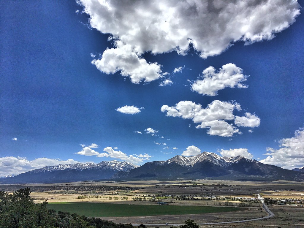 Photo: cogdogblog, Public Domain Dedication (CC0) (via Flickr)
- 2.6 mi
- round trip
- 851 ft
- climb
- 8,298 ft
- high point
- Out and back
- route
- May–Sep
- best months
Crank n' Hammer Trail is a 2.56-mile hike in the Arkansas Headwaters Recreation Area - BLM Site in Colorado, managed by State Fish and Wildlife. The nearest town is Johnson Village, about 1.4 miles away. The trail is an out-and-back with a total round-trip distance of about 5.1 miles. It starts at roughly 8,281 feet and reaches a high point of about 8,298 feet, with a total elevation gain of about 851 feet. The steepest stretch comes at about 1.2 miles in, with a grade of about 9 percent. For comfortable weather, aim for late spring or early fall. Typical averages from a nearby weather station in Buena Vista show May highs around 67°F and September highs around 74°F, while July and August bring the most wet days, about 12 each month. The trail sits close to other outdoor options. A Fistfull of Dollars and the Main Area climbing area are each about 0.2 miles away, and BV Overlook Camp & Lodging is about 0.5 miles off. Cottonwood Creek, a canoeing spot, lies about 4.7 miles away.
Go with a guide
- Mineral Belt Trail Guided WalkNexPM AI · $25 per person · 31 mi away
- Mt. Princeton RV Park4 mi away
- A Fistfull of DollarsMountain biking0.2 mi
- Main AreaRock climbing0.2 mi
- HilltopRock climbing0.2 mi
- Patina Boulder AreaRock climbing0.2 mi
- DjangoMountain biking0.3 mi
- BV Overlook Camp & LodgingCamping0.5 mi
- BV OverlookCamping0.5 mi
- Cottonwood CreekCanoeing4.7 mi
Source: Roamze catalog (indexable pages within 10 miles, PostGIS distance)
- Sausage Link TrailHiking · Next doorPhoto: cogdogblog, Public Domain Dedication (CC0) (via Flickr)
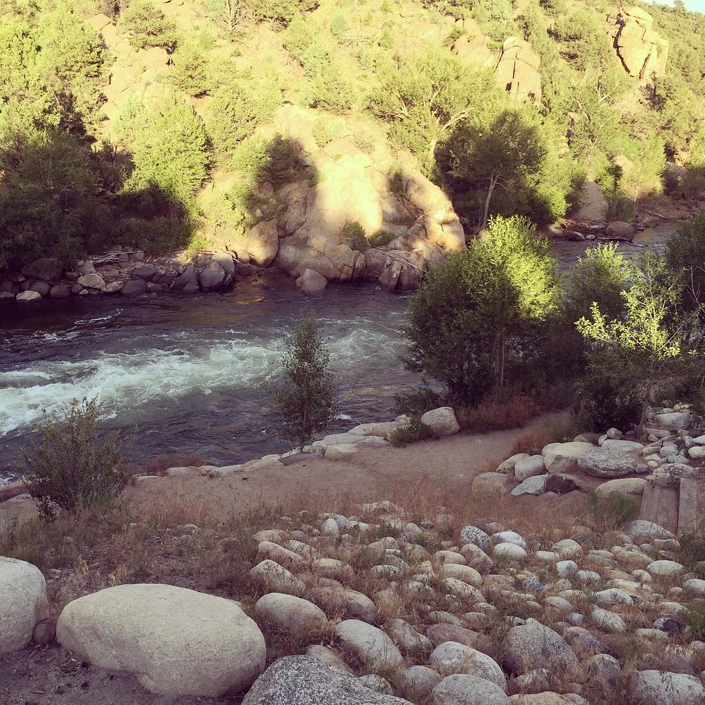 North TrailHiking · ~4 min drivePhoto: JenTravelsLife, CC BY 2.0 (via Flickr)
 Mount PrincetonHiking · ~14 min drivePhoto: wohnai, CC BY 2.0 (via Flickr)
 Mt. PrincetonHiking · ~16 min drivePhoto: kalestews, CC BY 2.0 (via Flickr)
 Few Dollars More TrailHiking · ~1 min drivePhoto: markbyzewski, CC BY 2.0 (via Flickr)
- Midland Hill TrailHiking · ~3 min drive
 Mount HarvardHiking · ~17 min drivePhoto: twslivxe26, CC BY-SA 2.0 (via Flickr)
- Kroenke LakeHiking · ~20 min drivePhoto: twslivxe26, CC BY-SA 2.0 (via Flickr)
 Unchained TrailHiking · ~2 min drivePhoto: Nholifield, CC BY 3.0 (via Wikimedia Commons)
- TRIAD RIDGE SINGLE TRACKHiking · ~6 min drive
Best time to visit Crank n' Hammer Trail
Best months: May–September. Best months have typical highs of 55–85 °F, lows of 30 °F or warmer (32 °F where the station doesn't record snow), at most one snowy day and no more than 12 wet days.
Jan
41° / 11°
4 wet
Feb
43° / 14°
5 wet
Mar
50° / 21°
6 wet
Apr
56° / 27°
6 wet
May
67° / 36°
7 wet
Jun
78° / 43°
7 wet
Jul
83° / 49°
12 wet
Aug
80° / 47°
12 wet
Sep
74° / 40°
8 wet
Oct
62° / 29°
6 wet
Nov
50° / 20°
5 wet
Dec
40° / 11°
5 wet
Typical high / low (°F) and days with rain or snow, 1991–2020. Measured at Buena Vista 2s, CO, 2.1 mi away at 7,954 ft. This station doesn't record snowfall. Source: NOAA NCEI U.S. Climate Normals 1991–2020.

Map and trail data © OpenStreetMap contributors
