North Trail
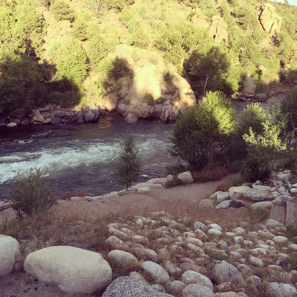 Photo: JenTravelsLife, CC BY 2.0 (via Flickr)
- 0.9 mi
- round trip
- 825 ft
- climb
- 8,199 ft
- high point
- Out and back
- route
- May–Sep
- best months
North Trail is a short, easy hike in Colorado's Arkansas Headwaters Recreation Area, on land managed by State Fish and Wildlife. The trail is an out-and-back route of about 1.8 miles, with a total climb of 825 feet from the low point at 8,010 feet to the high at 8,199 feet. The steepest stretch comes early, around 0.27 miles from the start, where the grade reaches 25 percent. Summer is the most comfortable time to go. Typical averages from a nearby weather station in Buena Vista show July highs around 83°F with lows near 49°F, while September cools to highs in the mid-70s. Climbers will find Climbing Area 60 and Climbing Area 53 about 0.3 miles away, and the Broken Boyfriend North mountain biking trail is about 0.4 miles off. For an overnight stay, Mt. Princeton RV Park & Cabins is about 1.1 miles away.
Go with a guide
- Mineral Belt Trail Guided WalkNexPM AI · $25 per person · 29 mi away
- Mt. Princeton RV Park1 mi away
- Climbing Area 60Rock climbing0.3 mi
- Climbing Area 53Rock climbing0.3 mi
- Below the RoadRock climbing0.4 mi
- Broken Boyfriend NorthMountain biking0.4 mi
- WhippleMountain biking0.5 mi
 Mt. Princeton RV Park & CabinsCampingPhoto: Nolabob, CC BY-SA 4.0 (via Wikimedia Commons)1.1 mi
- Valley Mobile RV ParkCamping1.6 mi
- Cottonwood CreekCanoeing3.3 mi
Source: Roamze catalog (indexable pages within 10 miles, PostGIS distance)
 Whitewater TrailHiking · Next doorPhoto: Paul and Jill, CC BY 2.0 (via Flickr)
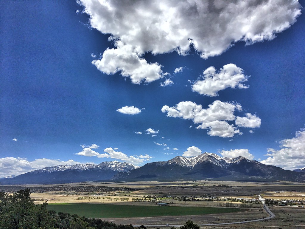 Crank n' Hammer TrailHiking · ~4 min drivePhoto: cogdogblog, Public Domain Dedication (CC0) (via Flickr)
 Mount HarvardHiking · ~13 min drivePhoto: twslivxe26, CC BY-SA 2.0 (via Flickr)
- Kroenke LakeHiking · ~16 min drivePhoto: twslivxe26, CC BY-SA 2.0 (via Flickr)
- Unmarked Rugged TrailHiking · ~1 min drivePhoto: Paul and Jill, CC BY 2.0 (via Flickr)
- Midland Hill TrailHiking · ~2 min drive
- Mount ColumbiaHiking · ~13 min drivePhoto: twslivxe26, CC BY-SA 2.0 (via Flickr)
 Mt. PrincetonHiking · ~16 min drivePhoto: kalestews, CC BY 2.0 (via Flickr)
- Sausage Link TrailHiking · ~5 min drivePhoto: cogdogblog, Public Domain Dedication (CC0) (via Flickr)
- TRIAD RIDGE SINGLE TRACKHiking · ~10 min drive
Best time to visit North Trail
Best months: May–September. Best months have typical highs of 55–85 °F, lows of 30 °F or warmer (32 °F where the station doesn't record snow), at most one snowy day and no more than 12 wet days.
Jan
41° / 11°
4 wet
Feb
43° / 14°
5 wet
Mar
50° / 21°
6 wet
Apr
56° / 27°
6 wet
May
67° / 36°
7 wet
Jun
78° / 43°
7 wet
Jul
83° / 49°
12 wet
Aug
80° / 47°
12 wet
Sep
74° / 40°
8 wet
Oct
62° / 29°
6 wet
Nov
50° / 20°
5 wet
Dec
40° / 11°
5 wet
Typical high / low (°F) and days with rain or snow, 1991–2020. Measured at Buena Vista 2s, CO, 1.9 mi away at 7,954 ft. This station doesn't record snowfall. Source: NOAA NCEI U.S. Climate Normals 1991–2020.
Map and trail data © OpenStreetMap contributors
