Guanella Pass Campground
Campground
Campground · 1.0 mi from the trail
 Photo: kalestews, CC BY 2.0 (via Flickr)
Alert in the area
The Forest Service lists 3 alerts for Arapaho and Roosevelt National Forests.
Fire Restrictions
Agency alert covering Arapaho and Roosevelt National Forests · USFS · Arapaho and Roosevelt National Forests
Slater Lake Area Closure
Agency alert covering Clear Creek Ranger District · Order 02-10-07-26-03 · USFS · Clear Creek Ranger District
Area Closure Surrounding the Devils Nose Target Range
Agency alert covering Clear Creek Ranger District · Order 02-10-07-26-01 · USFS · Clear Creek Ranger District
As of · Source: USFS · Arapaho and Roosevelt National Forests. Agencies don't list every closure — check before you go.
Silver Dollar Lake is a 4.2-mile out-and-back hike in the Clear Creek Ranger District of the Arapaho and Roosevelt National Forests in Colorado. The trail rises from about 11,205 feet to 12,199 feet, a 942-foot climb, and is rated moderate. The Forest Service manages the land. The trailhead is at Silver Dollar Lake, and the route stays on natural surface. Bikes and horses are both allowed. Summer is the most comfortable time to go. The open season runs from June 1 to September 30, and typical averages from a nearby weather station show July and August highs in the low to mid 80s. Guanella Pass Campground sits about a mile away, and Guanella Pass Overlook and Mount Bierstadt are both within about 1.3 miles. Clear Lake Campground is about 3.5 miles off.
Guanella Pass Campground
Campground
511 Rose
Restaurant
 If it rainsUser:Magicpiano, CC BY-SA 4.0 · Wikimedia Commons
Historic house-museum in Georgetown, Colorado, United States
Places © OpenStreetMap contributors · Photos: User:Magicpiano, CC BY-SA 4.0 (commons)
More in Idaho Springs Photo: QKC, CC BY-SA 3.0 (via Wikimedia Commons)
Argentine Peak
~6 min drive
Route to the summit of Argentine Peak (13,734 ft) from Argentine Pass Trailhead.
Photo: QKC, CC BY-SA 3.0 (via Wikimedia Commons)Mount Edwards
~6 min drive
Route to the summit of Mount Edwards (13,839 ft) from Argentine Pass Trailhead.
 Photo: versute, CC BY-SA 3.0 (via Wikimedia Commons)
Sawtooth Ridge Traverse
~6 min drive
1.40-mile trail in Colorado with 800 ft gain and 12,800 ft max elevation.
Photo: QKC, CC BY-SA 3.0 (via Wikimedia Commons)Upper lakes to Grays
~7 min drive
1.38-mile out-and-back from Upper lakes to Grays in Colorado
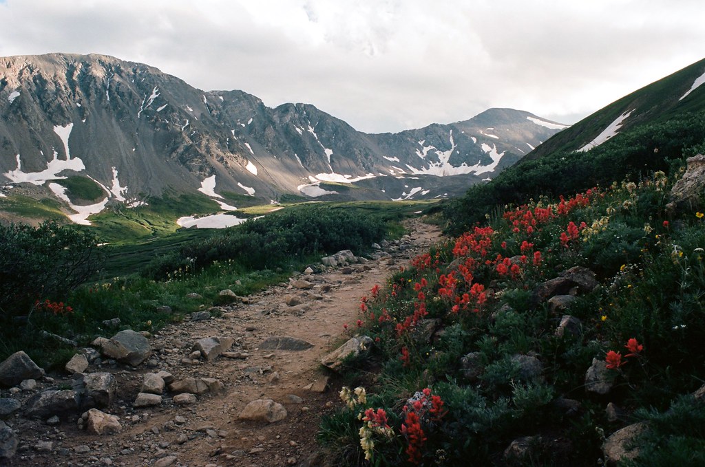 Photo: MCA / Mike Allyn, CC BY 2.0 (via Flickr)
Kelso Mountain
~8 min drive
Route to the summit of Kelso Mountain (13,176 ft) from Grays Peak Trailhead.
Photo: MCA / Mike Allyn, CC BY 2.0 (via Flickr)Torreys Peak
~8 min drive
Standard route to Torreys Peak (14,267 ft) from Grays Peak Trailhead (Stevens Gulch).
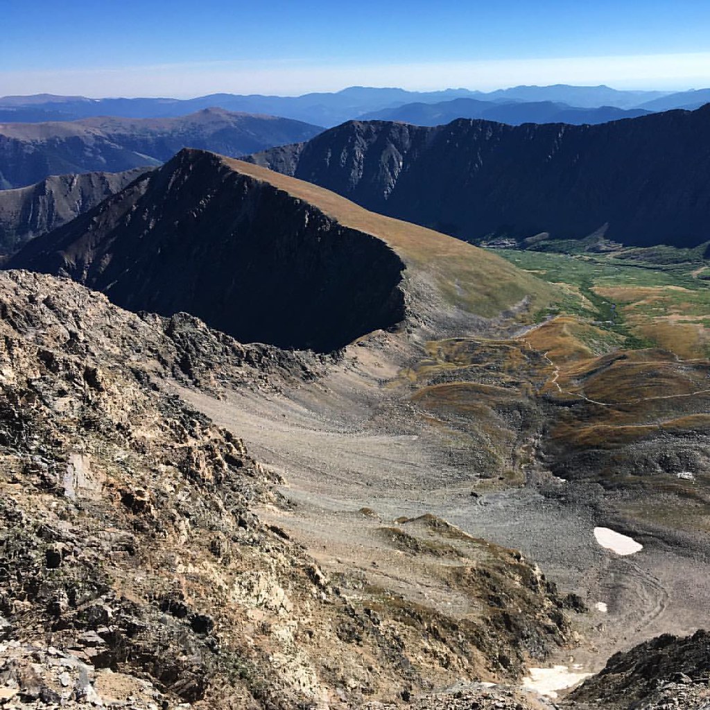 Photo: gregor_y, CC BY-SA 2.0 (via Flickr)
Kelso Ridge
~8 min drive
1.06-mile trail in Colorado with 800 ft elevation gain.
 Photo: gregor_y, CC BY-SA 2.0 (via Flickr)
Mount Blue Sky Ridge
~8 min drive
4.34-mile out-and-back hike on Mount Blue Sky Ridge in Colorado, 1,096 ft gain, 14,170 ft max elevation.
Photo: MCA / Mike Allyn, CC BY 2.0 (via Flickr)Grays Peak
~8 min drive
Standard route to Grays Peak (14,270 ft) from Grays Peak Trailhead (Stevens Gulch).
HIKE
Mount Wilcox
~6 min drive
Route to the summit of Mount Wilcox (13,163 ft) from Argentine Pass Trailhead.


