Clear Lake Campground
Campground
Campground · 3.3 mi from the trail
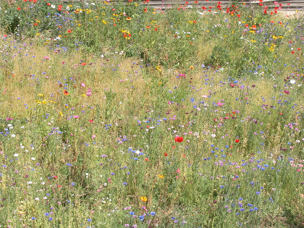 Photo: davidwilson1949, CC BY 2.0 (via Flickr)
The 7:30 Mine Trail is an easy hike of about 1.9 miles with a 600-foot elevation gain, and it starts right next to the town of Silver Plume, Colorado, about a tenth of a mile away. It is a short outing that fits easily into a day spent in town or as a pairing with other spots in the area. Summer is the most comfortable time to go. Typical averages from the nearby Georgetown weather station show July highs around 77°F with lows near 49°F, while winter highs stay in the mid-30s. The trip takes about an hour. The route is short enough to do on its own, and it sits close to several other destinations. The Silver Plume and West Slabs climbing areas are each about a mile away, the Anna Trail is 1.7 miles off, and Clear Lake Campground is 3.3 miles away for anyone planning an overnight stay.
Clear Lake Campground
Campground
 If it rainsUser:Magicpiano, CC BY-SA 4.0 · Wikimedia Commons
Historic house-museum in Georgetown, Colorado, United States
Places © OpenStreetMap contributors, Places © Overture Maps Foundation · Photos: User:Magicpiano, CC BY-SA 4.0 (commons)
More in Idaho Springs Anna TrailHikingPhoto: KimonBerlin, CC BY-SA 2.0 (via Flickr)1.7 mi
 Laguna Beach TrailHikingPhoto: inkknife_2000 (7.5 million views +), CC BY-SA 2.0 (via Wikimedia Commons)2.3 mi
Source: Roamze catalog (indexable pages within 10 miles, PostGIS distance)
Anna TrailHiking · ~3 min drivePhoto: KimonBerlin, CC BY-SA 2.0 (via Flickr) Union Pass TrailHiking · ~6 min drivePhoto: dirkdavidson1, Public Domain Dedication (CC0) (via Flickr)Bard PeakHiking · ~6 min drivePhoto: dirkdavidson1, Public Domain Dedication (CC0) (via Flickr)
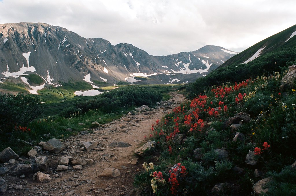 Grays PeakHiking · ~7 min drivePhoto: MCA / Mike Allyn, CC BY 2.0 (via Flickr)Laguna Beach TrailHiking · ~4 min drivePhoto: inkknife_2000 (7.5 million views +), CC BY-SA 2.0 (via Wikimedia Commons)
 South Chicago CreekHiking · ~9 min drivePhoto: jtsmmm, CC BY 3.0 (via Wikimedia Commons)Torreys PeakHiking · ~7 min drivePhoto: MCA / Mike Allyn, CC BY 2.0 (via Flickr)Kelso MountainHiking · ~7 min drivePhoto: MCA / Mike Allyn, CC BY 2.0 (via Flickr)
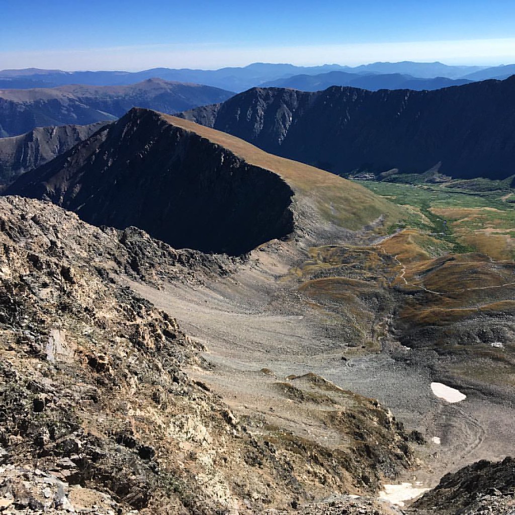 Kelso RidgeHiking · ~10 min drivePhoto: gregor_y, CC BY-SA 2.0 (via Flickr)
 Watrous GulchHiking · ~10 min drivePhoto: kalestews, CC BY 2.0 (via Flickr)
Also worth it near here
Best months: May–June and September. Best months have typical highs of 55–85 °F, lows of 30 °F or warmer (32 °F where the station doesn't record snow), at most one snowy day and no more than 12 wet days.
Jan
36° / 16°
9 wet
Feb
38° / 15°
9 wet
Mar
44° / 21°
10 wet
Apr
50° / 26°
11 wet
May
60° / 35°
11 wet
Jun
72° / 42°
10 wet
Jul
77° / 49°
13 wet
Aug
75° / 47°
13 wet
Sep
68° / 39°
10 wet
Oct
57° / 30°
8 wet
Nov
44° / 22°
7 wet
Dec
36° / 15°
8 wet
Typical high / low (°F) and days with rain or snow, 1991–2020. Measured at Georgetown, CO, 1.5 mi away at 8,520 ft. We don't have this place's elevation, so higher spots nearby can run cooler. This station doesn't record snowfall. Source: NOAA NCEI U.S. Climate Normals 1991–2020.
Map and trail data © OpenStreetMap contributors
