Dispersed camp site
Campground
Campground · 1.8 mi from the trail
 Photo: John Fowler from Placitas, NM, USA, CC BY 2.0 (via Wikimedia Commons)
Closure in the area
There's a closure order in Grand Mesa, Uncompahgre and Gunnison National Forests. It doesn't name Trico Peak, so check the source for the area it covers (2 listed).
Gold Mountain Wildfire Roads and Trails Closure Order v 4.0
Agency closure covering Grand Mesa, Uncompahgre and Gunnison National Forests · USFS · Grand Mesa, Uncompahgre and Gunnison National Forests
Ophir Pass Road Closure
Agency closure covering Grand Mesa, Uncompahgre and Gunnison National Forests · USFS · Grand Mesa, Uncompahgre and Gunnison National Forests
Potter Basin Road Closure Order
Agency alert covering Grand Mesa, Uncompahgre and Gunnison National Forests · USFS · Grand Mesa, Uncompahgre and Gunnison National Forests
Beaver Park Road Closure Order
Agency alert covering Grand Mesa, Uncompahgre and Gunnison National Forests · USFS · Grand Mesa, Uncompahgre and Gunnison National Forests
TERMINATION OF ORDER - FIRE RESTRICTIONS
Agency alert covering Grand Mesa, Uncompahgre and Gunnison National Forests · USFS · Grand Mesa, Uncompahgre and Gunnison National Forests
As of · Source: USFS · Grand Mesa, Uncompahgre and Gunnison National Forests. Agencies don't list every closure — check before you go.
Trico Peak rises to 13,301 ft in Colorado. This route starts at Black Bear Pass Trailhead (Red Mountain Pass) and covers 7.1 miles round trip with about 3,158 ft of climbing. The mapped trail ends 0.5 miles and about 473 ft short of the summit; the final stretch is off-trail with no mapped path and needs route-finding.
Dispersed camp site
Campground
Wood Ear
Restaurant
Smuggler Union Tramhouse
Attraction
Places © OpenStreetMap contributors
More in TellurideNot on Roamze yet. Their page has how to reach them.
Daily highs and lows, wind and the chance of precipitation at the summit and route start for the next 7 days, from the Open-Meteo model.
 Three NeedlesHikingPhoto: squeaks2569, CC BY-SA 2.0 (via Flickr)1.7 mi
 Dispersed camp siteCampingPhoto: Tobias from Germany, CC BY 2.0 (via Wikimedia Commons)1.8 miGuston TrailHikingPhoto: Tobias from Germany, CC BY 2.0 (via Wikimedia Commons)1.9 mi
 Pipeline WallRock climbingPhoto: Daniel Weber, CC0 (via Flickr)3.4 mi
 Main WallRock climbingPhoto: Lars Plougmann, CC BY-SA 2.0 (via Flickr)3.8 mi
Source: Roamze catalog (indexable pages within 10 miles, PostGIS distance)
Three NeedlesHiking · ~3 min drivePhoto: squeaks2569, CC BY-SA 2.0 (via Flickr)Guston TrailHiking · ~3 min drivePhoto: Tobias from Germany, CC BY 2.0 (via Wikimedia Commons) COLUMBINE LAKEHiking · ~5 min drivePhoto: Sandy Horvath-Dori from Grand Junction, CO, USA, CC BY 2.0 (via Wikimedia Commons)
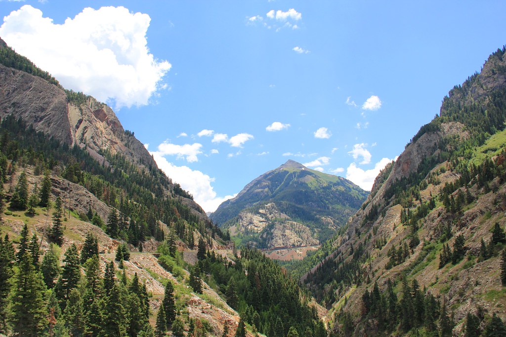 Beaver/Belfast Mine TrailHiking · ~6 min drivePhoto: daveynin, CC BY 2.0 (via Flickr)
 Chicago PeakHiking · ~5 min drivePhoto: QKC, CC BY-SA 3.0 (via Wikimedia Commons)Corkscrew Gulch Turntable TrailHiking · ~4 min drivePhoto: Tobias from Germany, CC BY 2.0 (via Wikimedia Commons)
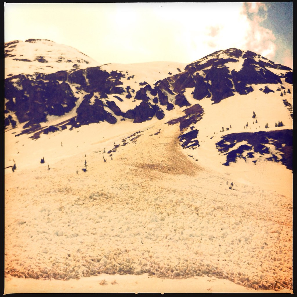 Bonita PeakHiking · ~7 min drivePhoto: denverkid, CC BY 2.0 (via Flickr)Silver LakeHiking · ~6 min drivePhoto: Daniel Weber, Public Domain Dedication (CC0) (via Flickr)
 Albany Loop TrailHiking · ~9 min drivePhoto: Sandy Horvath-Dori from Grand Junction, CO, USA, CC BY 2.0 (via Wikimedia Commons)
Also worth it near here
 Silver BelleCross-country skiing · ~5 min drivePhoto: Sandy Horvath-Dori from Grand Junction, CO, USA, CC BY 2.0 (via Wikimedia Commons)Pipeline WallRock climbing · ~6 min drivePhoto: Daniel Weber, CC0 (via Flickr)
 Bridal Veil FallsWaterfall · ~6 min drivePhoto: Terry Foote (talk), CC BY-SA 3.0 (via Wikimedia Commons)
 Silverton MountainDownhill skiing · ~6 min drivePhoto: Zach Dischner, CC BY 2.0 (via Wikimedia Commons)
 Lewis MineMountain biking · ~6 min drivePhoto: John Fowler from Placitas, NM, USA, CC BY 2.0 (via Wikimedia Commons)
About 7.1 mi round trip from Black Bear Pass Trailhead (Red Mountain Pass).
About 3,158 ft of climbing round trip.
It is rated hard.
Black Bear Pass Trailhead (Red Mountain Pass).
© openrouteservice.org by HeiGIT | Map data © OpenStreetMap contributors
