Dispersed camp site
Campground
Campground · 4.2 mi from the trail
Closure in the area
There's a closure order in Grand Mesa, Uncompahgre and Gunnison National Forests. It doesn't name Blue Lake, so check the source for the area it covers (2 listed).
Gold Mountain Wildfire Roads and Trails Closure Order v 4.0
Agency closure covering Grand Mesa, Uncompahgre and Gunnison National Forests · USFS · Grand Mesa, Uncompahgre and Gunnison National Forests
Ophir Pass Road Closure
Agency closure covering Grand Mesa, Uncompahgre and Gunnison National Forests · USFS · Grand Mesa, Uncompahgre and Gunnison National Forests
TERMINATION OF ORDER - FIRE RESTRICTIONS
Agency alert covering Grand Mesa, Uncompahgre and Gunnison National Forests · USFS · Grand Mesa, Uncompahgre and Gunnison National Forests
Dallas Area Closure order
Agency alert covering Grand Mesa, Uncompahgre and Gunnison National Forests · USFS · Grand Mesa, Uncompahgre and Gunnison National Forests
Island Lake Road Closure
Agency alert covering Grand Mesa, Uncompahgre and Gunnison National Forests · USFS · Grand Mesa, Uncompahgre and Gunnison National Forests
As of · Source: USFS · Grand Mesa, Uncompahgre and Gunnison National Forests. Agencies don't list every closure — check before you go.
Blue Lake is an easy, out-and-back hike in Colorado's Norwood Ranger District of the Grand Mesa, Uncompahgre and Gunnison National Forests. The trail is about 2.2 miles long and climbs roughly 735 feet from a low of about 11,476 feet to a high of about 12,216 feet. It is managed by the Forest Service. The trail is rated easy and is open year-round. It is a natural-surface route, and both horses and bikes are allowed. Nearby, the Bridal Veil Creek mountain biking trail lies about 0.4 miles away and the Bridal Veil Trail about 0.6 miles. Climbers can head to Main Wall and Streaked Wall, both about 1.3 miles off.
Dispersed camp site
Campground
Smugglers
Restaurant
Little Hawaii Grotto
Attraction
Places © OpenStreetMap contributors
More in TellurideNot on Roamze yet. Their page has how to reach them.
 Photo: Daniel Weber, Public Domain Dedication (CC0) (via Flickr)
Silver Lake
~2 min drive
2.01-mile out-and-back trail to Silver Lake in Colorado at 11,789 ft elevation.
 Photo: John Fowler from Placitas, NM, USA, CC BY 2.0 (via Wikimedia Commons)
Swamp Canyon
~6 min drive
4.0-mile out-and-back trail in Colorado with 1,549 ft elevation gain and loss.
 Photo: Sandy Horvath-Dori from Grand Junction, CO, USA, CC BY 2.0 (via Wikimedia Commons)
COLUMBINE LAKE
~6 min drive
9.96-mile out-and-back to Columbine Lake in Colorado at 12,734 ft elevation
 Photo: Moo.The.Cow, CC BY 2.0 (via Flickr)
Prospect Loop
~7 min drive
1.7-mile out-and-back trail in Colorado with 421 ft elevation gain and loss.
Photo: Daniel Weber, Public Domain Dedication (CC0) (via Flickr)Bridal Veil Creek
~2 min drive
9.26-mile out-and-back trail in Colorado with 2,681 ft elevation gain.
 Photo: sf-dvs, CC BY 2.0 (via Wikimedia Commons)
Ridge Trail
~7 min drive
4.1-mile out-and-back ridge trail in Colorado with 1,588 ft gain/loss
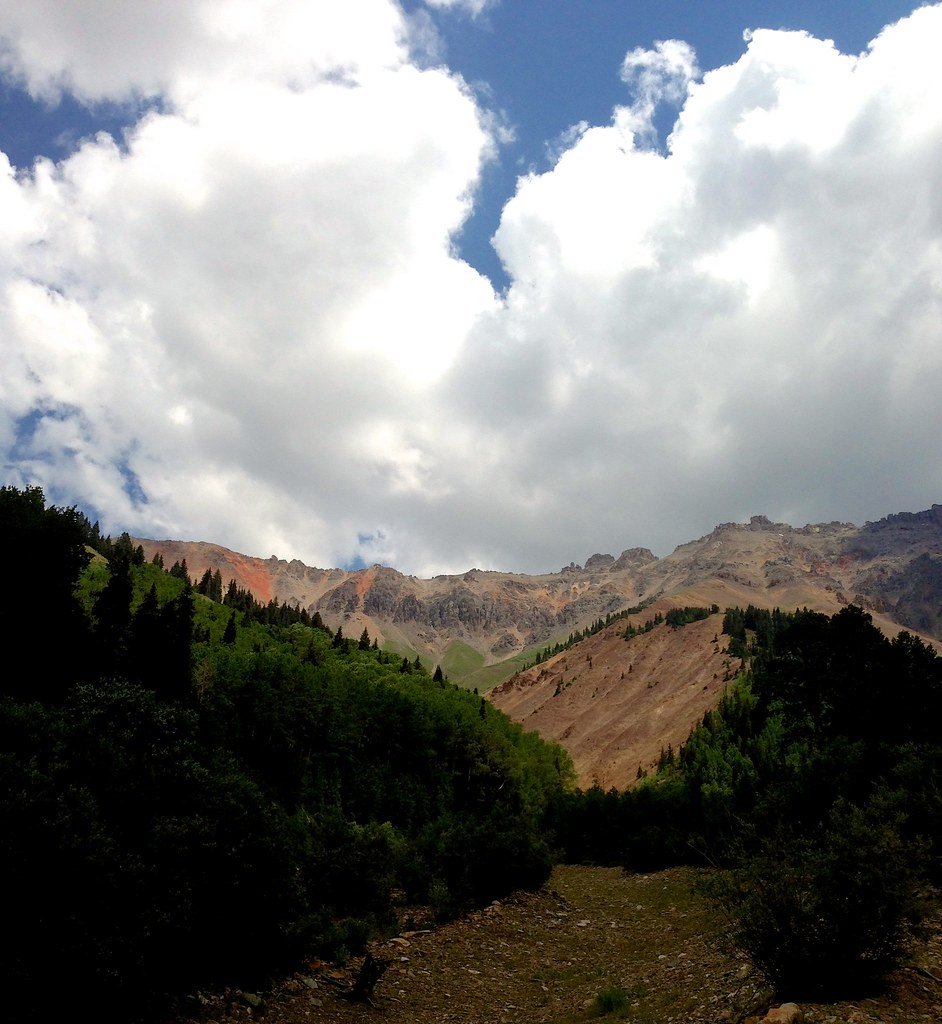 Photo: sdingle, CC BY-SA 2.0 (via Flickr)
Wasatch Mountain
~7 min drive
Route to the summit of Wasatch Mountain (13,540 ft) from Bridal Veil Basin Trailhead.
 Photo: Lars Plougmann, CC BY-SA 2.0 (via Flickr)
Boomerang Valley Floor
~8 min drive
1.71-mile out-and-back trail in Colorado's Grand Mesa, Uncompahgre and Gunnison National Forests
 Photo: QKC, CC BY-SA 3.0 (via Wikimedia Commons)
Chicago Peak
~3 min drive
Route to the summit of Chicago Peak (13,343 ft) from Imogene Pass / Tomboy Trailhead.
 Photo: Tobias from Germany, CC BY 2.0 (via Wikimedia Commons)
Guston Trail
~8 min drive
1.54-mile out-and-back trail in Colorado with 992 ft elevation gain
Also worth it near here


