Skyline
- 1.5 mi
- round trip
- 35 ft
- climb
- 9,739 ft
- high point
- Out and back
- route
Skyline is a short, easy out-and-back hike in Colorado's Gunnison Ranger District, part of the Grand Mesa, Uncompahgre and Gunnison National Forests. The trail is about 1.5 miles long, with a low point of 9,690 feet and a high of 9,739 feet, so the one-way climb is about 35 feet. The Forest Service manages the land. Summer is the most comfortable time to go. Typical averages from a nearby weather station at a similar elevation show July highs around 72°F with lows near 40°F, while winter highs stay in the mid-30s and lows drop to about 2°F. Salt House Camping Area is about 4 miles away, and the Perfecto Creek Spur and Organ Mountain hikes are both within about 6 miles. Stone Cellar Campground is roughly 8 miles off.
Local outfitters
- Blue Creek Lodge23 mi away
- Grizzly RT RV Park37 mi away
Not on Roamze yet. Their page has how to reach them.
- Salt House Camping AreaCamping4.3 mi
- PERFECTO CREEK SPURHiking5.7 mi
- Organ MountainHiking6.3 mi
- Lake ForkHiking7.5 mi
- Miners CreekHiking7.6 mi
- Stone Cellar Guard StationCamping7.7 mi
- Stone Cellar CampgroundCamping7.9 mi
 Cochetopa CreekCanoeingPhoto: Ken Lund from Reno, Nevada, USA, CC BY-SA 2.0 (via Wikimedia Commons)10 mi
Source: Roamze catalog (indexable pages within 10 miles, PostGIS distance)
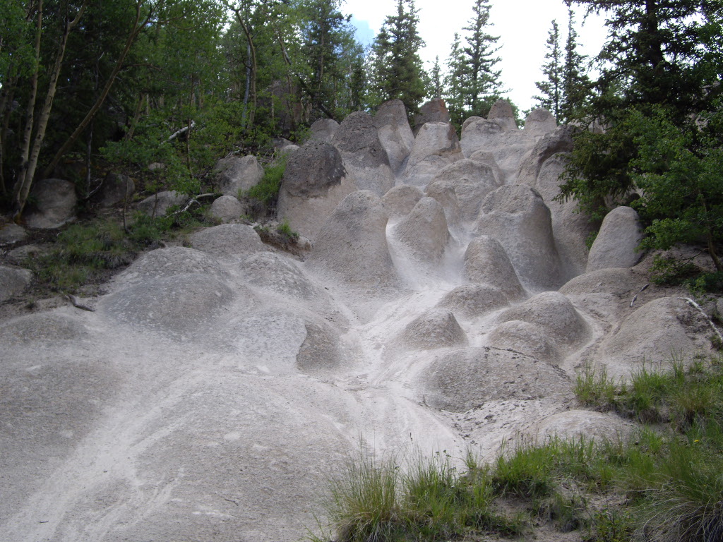 Wheeler LoopHiking · ~25 min drivePhoto: C. K. Hartman, CC BY 2.0 (via Flickr)
- Organ MountainHiking · ~11 min drive
- Lake ForkHiking · ~13 min drive
- Benito CreekHiking · ~19 min drive
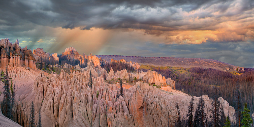 Wason Park Cut-OffHiking · ~27 min drivePhoto: snowpeak, CC BY 2.0 (via Flickr)
- Baldy AltoHiking · ~25 min drive
- Stewart CreekHiking · ~14 min drive
- MIDDLE FORK CUTOFFHiking · ~19 min drive
- PERFECTO CREEK SPURHiking · ~10 min drive
- Saguache CreekHiking · ~15 min drive
Also worth it near here
- McDonough Reservoir Fishing SiteLake fishing · ~12 min drive
 Cochetopa DomeSummit · ~16 min drivePhoto: John Sowell, CC BY-SA 4.0 (via Wikimedia Commons)
- Cochetopa CreekCanoeing · ~17 min drivePhoto: Ken Lund from Reno, Nevada, USA, CC BY-SA 2.0 (via Wikimedia Commons)
- old cochetopa pass roadMountain biking · ~18 min drive
