Hansen Mill Campground
Campground
Campground · 5.6 mi from the trail
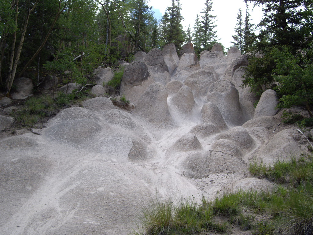 Photo: C. K. Hartman, CC BY 2.0 (via Flickr)
Closure in the area
There's a closure order in Rio Grande National Forest. It doesn't name Wheeler Loop, so check the source for the area it covers.
Closures and dangerous conditions on roads, bridges, and trails from flooding
Agency closure covering Rio Grande National Forest · USFS · Rio Grande National Forest
As of · Source: USFS · Rio Grande National Forest. Agencies don't list every closure — check before you go.
Wheeler Loop is a 2.5-mile out-and-back hike in the La Garita Wilderness, part of the Divide Ranger District of the Rio Grande National Forest in Colorado. The trail is managed by the Forest Service and is rated easy, with a total elevation gain of 56 feet from the low point at 11,141 feet to the high at 11,915 feet. The route is a short, low-elevation walk that fits easily into a day in the wilderness. It is a natural-surface trail, and horses are allowed. Bikes are not. The trailhead is at Wheeler Trailhead, and the route is open year-round. For a longer outing, Wason Park Cut-Off lies about a mile away and Machin Basin about 1.1 miles off. Hansen Mill Campground, roughly 5.6 miles away, offers a place to stay, and South Fork Saguache Creek, about 6.2 miles away, is a paddling option.
Hansen Mill Campground
Campground
Blimpie
Fast food
Creede Underground Mining Museum
Museum
Places © OpenStreetMap contributors
More in South ForkNot on Roamze yet. Their page has how to reach them.
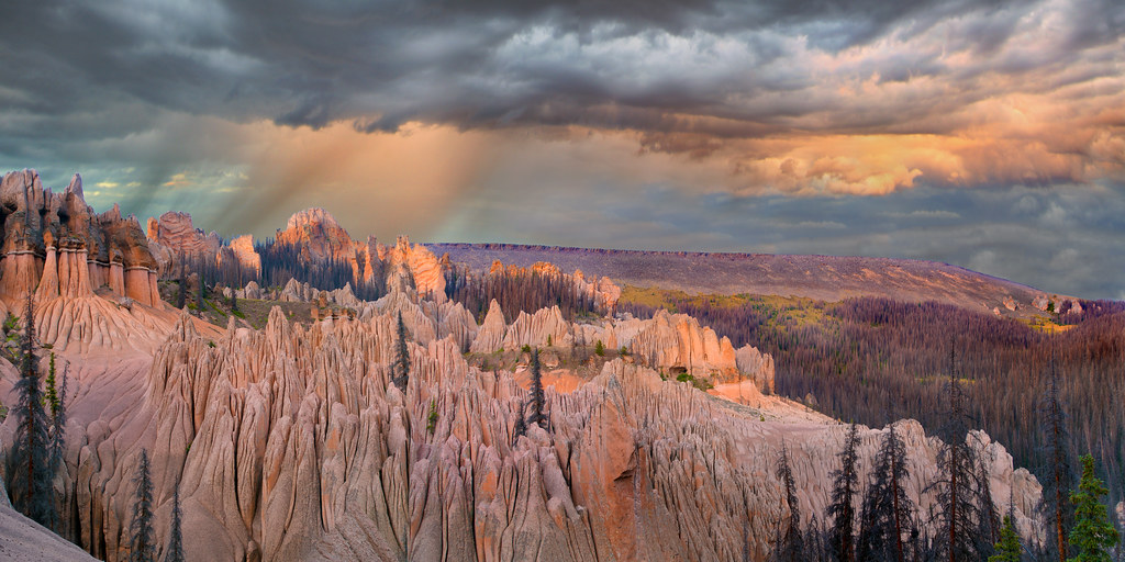 Photo: snowpeak, CC BY 2.0 (via Flickr)
Wason Park Cut-Off
~2 min drive
2.19-mile out-and-back trail in Colorado on the Rio Grande National Forest.
 Photo: aspidoscelis, Public Domain Dedication (CC0) (via Flickr)
Farmers Creek
~11 min drive
7.23-mile loop trail in Colorado with 2,971 ft elevation gain.
HIKE
Benito Creek
~7 min drive
4.33-mile out-and-back trail in Colorado's Rio Grande National Forest with 1,411 ft gain.
HIKE
La Garita Sd. Trail
~11 min drive
25.12-mile point-to-point trail in Colorado with 1,986 ft gain and 5,759 ft loss.
HIKE
Halfmoon Creek
~4 min drive
2.93-mile out-and-back trail in Colorado's Rio Grande National Forest with 791 ft gain
Photo: aspidoscelis, Public Domain Dedication (CC0) (via Flickr)Dry Gulch Trail
~12 min drive
6.99-mile out-and-back hike in Colorado's Rio Grande National Forest with 2,493 ft gain.
HIKE
MIDDLE FORK CUTOFF
~8 min drive
2.42-mile out-and-back trail in Colorado with 868 ft gain and 12,220 ft max elevation.
HIKE
Embargo Trail
~17 min drive
10.94-mile out-and-back in Colorado with 2,980 ft elevation gain and loss.
HIKE
West Alder Creek Trail
~11 min drive
2.92-mile out-and-back hike in Colorado with 965 ft elevation gain.
HIKE
Machin Basin
~2 min drive
15.63-mile loop in Colorado's Rio Grande National Forest with 2,750 ft gain.

